Getty
How much snow has fallen so far in Delaware thanks to the “bomb blizzard” we’ve heard so much about? The snowfall has ranged from 1 inch to 8 inches so far. Winter Storm Grayson is bringing heavy snow and blizzard-like conditions to many parts of the northeaster United States. The “bomb cyclone” winter storm rapidly intensified in a low pressure situation, bringing winds similar to a Category 1 hurricane in some regions, along with coastal flooding, power outages, and whiteout conditions. This morning, snow was falling at the rate of 1 to 2 inches per hour at the JFK Airport with up to 11 inches already recording in Long Island, and up to 3 inches per hour in Rhode Island. Some parts of Massachusetts already saw up to 10 inches of snow. Other regions are also seeing “thundersnow,” and seawall damage has been reported south of Boston. But how much snow exactly has fallen so far in the Delaware area?
The following are the snow fall totals for Thursday, January 4, 2018 in Delaware, according to the NOAA. This is how much snow fell, in inches, between 12 a.m. Eastern on January 3 and 9 a.m. Eastern on January 4.
- Stockley: 8.0 inches (8.9 inches as of 12:15 p.m. Eastern, according to the Delaware Environmental Observing System)
- Dagsboro: 3.6 inches (7.5 inches as of 12:15 p.m. Eastern, according to the Delaware Environmental Observing System)
- Rehoboth Beach: 7.0 inches as of 12:15 p.m. Eastern, according to the Delaware Environmental Observing System
- Nassau: 2.8 inches (NOAA)
- Bethany Beach: 2.7 inches (upgraded to 6.4 inches as of 12:15 p.m. Eastern, according to the Delaware Environmental Observing System)
- Lewes: 2.7 inches (upgraded to 6.7 inches as of 12:15 p.m. Eastern, according to the Delaware Environmental Observing System)
- Harrington: 5.3 inches according to the DEOS
- Woodside: 5.0 inches according to the DEOS
- Laurel: 4.8 inches according to the DEOS
- Frederica: 3.7 inches according to the DEOS
- Seaford: 3.6 inches according to the DEOS
- Dover: 2.9 inches according to the DEOS
- Smyrna: 2.9 inches according to the DEOS
- Talley Brook: 2.3 inches (according to the NOAA)
The storm has already claimed two lives, after two people in North Carolina died when their car slid off a road because of icy conditions and landed in a creek, Weather.com reported. And in Virginia, 44,000 people were left without power on Thursday morning because of the storm. Damaging wind of more than 70 mph is possible along eastern Massachusetts by Thursday afternoon and could cause more power outages. Gust of up to 50 mph could happen in other parts of New England today.
The heaviest snow is expected along eastern New England and eastern Long Island, accumulating to a foot or more. Snow along the I-95 corridor south of Philadelphia should end by midday. Snow should end in the New York Tri-state area by late this afternoon or early evening, according to Weather.com. Snow will be intensifying in New England during the day, especially the eastern part of New England, and taper off tonight. Winds will also intensify and become “potentially damaging” in eastern New England by this afternoon.
@TalentTime thank you.. not too bad where I am.. At least I’m not on the coast of Delaware. they are getting over a foot of snow.. we just got a few inches staying inside today
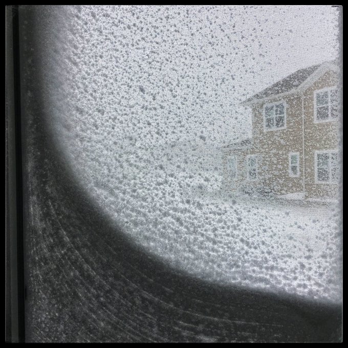
The snow varied pretty widely depending on what part of Delaware you were in. Here are more photos from people in the region.
#Grayson is dumping so much snow and wind on #RehobothBeach #Delaware that all of my windows look like this. I suspect we’re getting more snow than projected @WBOC16Weather @weatherchannel