Portland Fire & Rescue
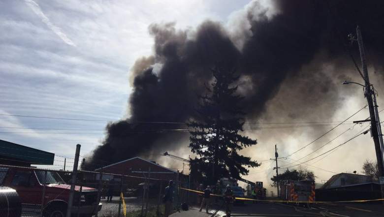
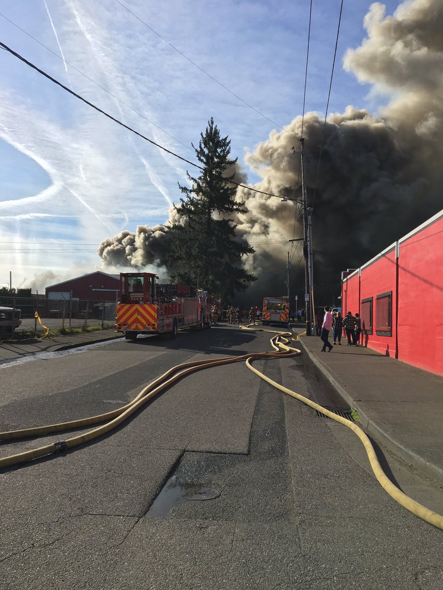
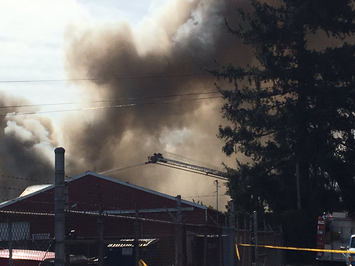
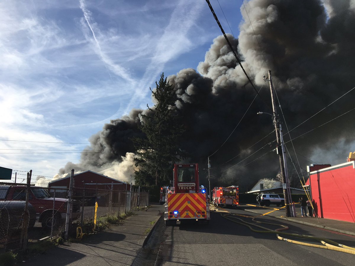
A massive fire at a Portland scrapyard is sending toxic smoke fumes for miles, causing evacuations of nearby buildings and schools. An apartment building and duplex have already burned, and officials said that 16 cats in the apartment complex died in the fire. About a dozen pit bulls were moved to safety. The fire began around 9 a.m. at the NW Metal scrap yard near 75th and Killingsworth, KOIN reported.
Multiple locations have been forced to evacuate because of the 5-alarm fire, including more than 100 students at the Sacajawea Head Start school. The toxic smoke is moving west thanks to 20-25 mph winds, leading to the evacuations. The students were evacuated to Scott School, which is currently under a “shelter in place.”
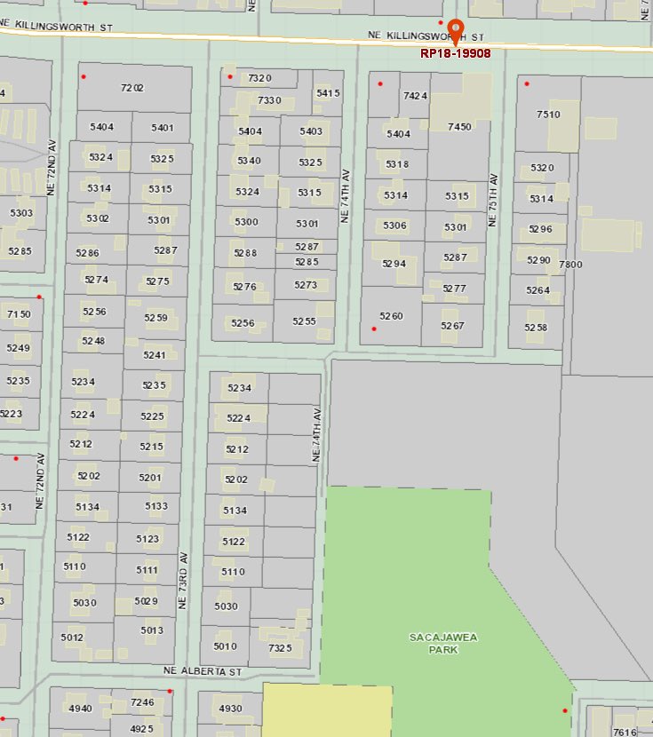
Here is a map of where the fire is located at the NW Metal Scrapyard, according to KGW8 News:
The Oregon Public Health Association explained why the smoke is toxic. “Smoke from burning tires include toxic chemicals of synthetic rubber compounds. Smoke may contain cyanide, carbon monoxide, sulfur dioxide, and other dangerous chemicals. Extinguishing these fires is difficult.”
Portland Fire & Rescue
Portland Fire & Rescue has released several maps showing the affected areas and the evacuation areas. Homes started being evacuated two hours ago at NE 75th West to NE 72nd and NE Alberta to Killingsworth. This first map shows the area of the evacuations:
Portland Fire & RescueEvacuation Map
Portland Fire & Rescue also shared a map of the one-mile shelter in place zone that was put in effect two hours ago. The small red circle in the center is the evacuation zone.
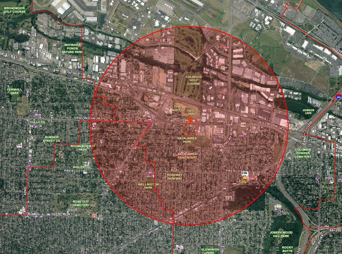
Portland Fire & RescueShelter in Place Zone
Anyone who is evacuating pets can take them to the Oregon Humane Society. Just call 503-285-7722.
Important information regarding the fire on 75th Avenue and Killingsworth Street. If anyone is evacuating pets and needs a place to house them, please give OHS a call: 503-285-7722.
We have two OHS staff members at the scene of the fire to assist as needed.

Here are more photos from the fire:
Portland Fire & Rescue
Portland Fire & Rescue
This is a developing story.