Inciweb Cougar Creek Fire Map
The Cougar Creek fire in Washington has grown to 31,062 acres and is only 5 percent contained. Read on to see maps of the fire and learn more details about evacuations and the fire’s location.
The fire is located eight miles northwest of Manson, 12 miles northwest of Ardenvior, seven-and-a-half miles northeast of Plain, and 20 miles northwest of Entiat. It was caused by lightning.
Here is a map of the fire, as provided by Inciweb:
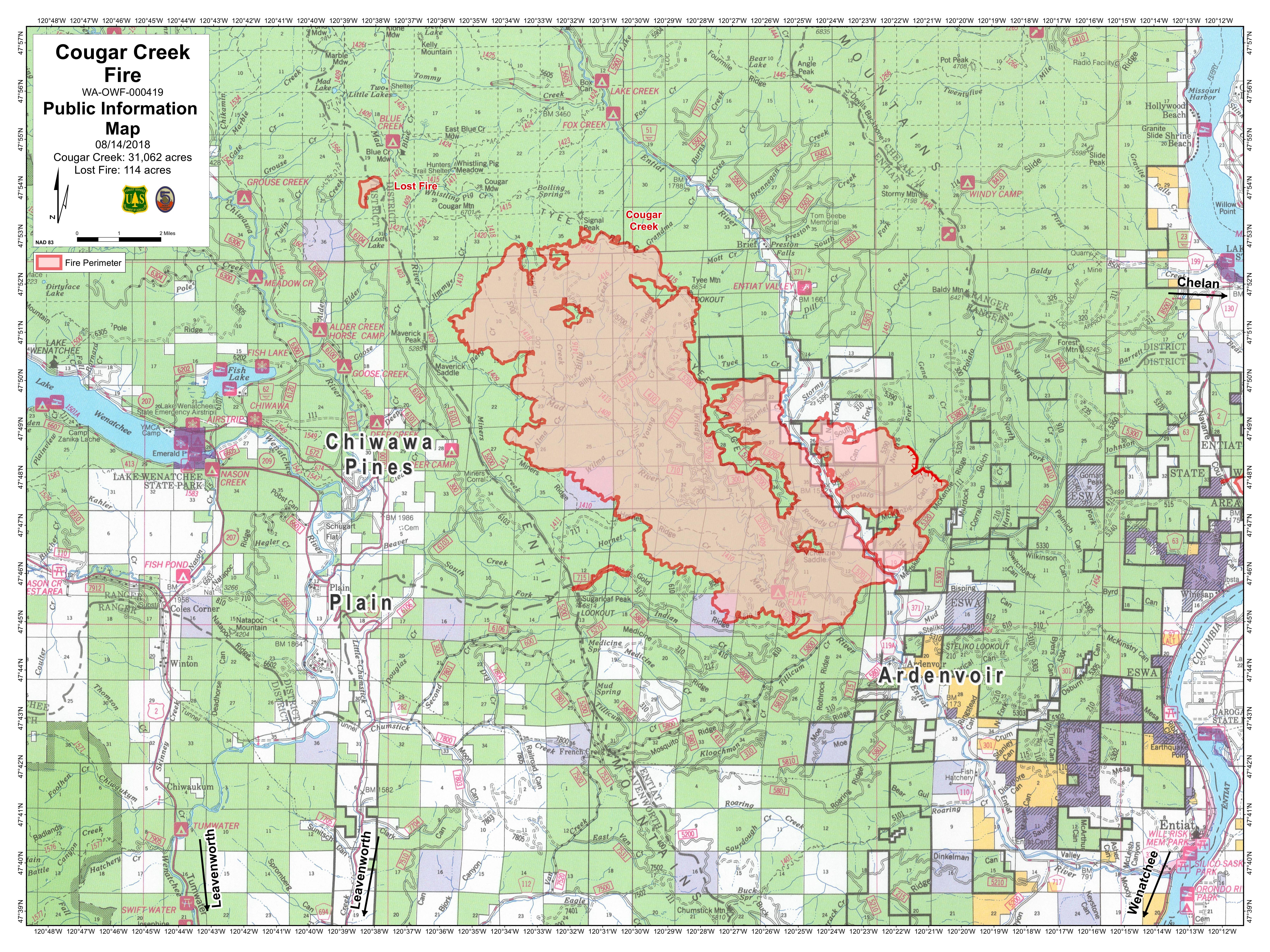
InciwebCougar Creek FIre Map
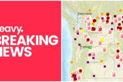
You can also find an interactive fire map of Oregon and Washington below. Zoom into the area around the Cougar Creek fire for more details.
And next is another interactive map of the Cougar Creek Fire in Washington. Click on the link within the tweet to see more details:
Tuesday 8/14 #CougarCreekFire Washington. 31,061 acres per infrared analysis by fire staff. See “Legend” and “Map tips” links to get the most benefit from the map. Open online map: t.co/MSwN2REm8i #GeoSpatial

Evacuation levels remain unchanged for August 14. On August 10, the following evacuations were announced, according to Inciweb, and as reported by Chelan County Emergency Management.
- The Entiat River Road from Ardenvoir north to the end of the road (approximately to milepost 25) and Mad River Road are now Level 3, which means leave immediately.
- The Entiat River Road from Crum Canyon (including Crum Canyon Road) up to the southern boundary of Ardenvoir is Level 2, which means prepare to leave at a moment’s notice.
- A new Level 1 Evacuation Notice was issued for the Entiat River Road from US 97A to Crum Canyon, which means time to prepare.
For questions and updates regarding evacuations please call the Chelan County Emergency Management at 509-667-6863. Red Cross can be contacted at 509-663-3907.
The fire is expected to remain active.