
The Hat Fire just developed on August 9 and by today (Friday, August 10) it is already 2,500 acres in size. The fire is 15 percent contained. Read on to see maps and details about the fire.
The fire began at Highway 299 and Fish Hatchery Road, northeast of Burney. It’s near the community of Cassell, west of Fall River Mills along State Highway 299.
So far, no structures have been damaged. The cause of the fire is under investigation. Air tankers are being used to help suppress the fire, but hot, dry, and windy conditions are challenging firefighting efforts.
Here are some maps to show you the fire’s location:
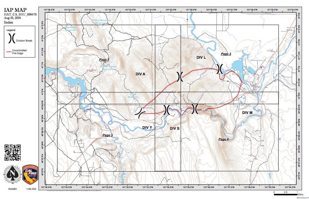
Hat Fire Map

This interactive map from CAL FIRE will also show you the Hat Fire, but you may need to zoom in to see it:
The following evacuations have been ordered:
- HWY 299E from Pit 1 Grade to area of Glenburn Rd and all homes west of Glenburn Rd. Fall River Mills area.
- Due to power outage in McArthur and surrounding areas, the evacuation center is moving to Adin Community Center at 605 Hwy 299E in Adin, California.
- The BLM Pit River Campground is also closed until further notice.
Check with Shasta County Sheriff for the latest evacuation information, as it may change with little notice. The Hat Creek Ranger District Office in Fall River Mills closed on Friday due to power outages from the Hat fire.
Highway 299E, eastbound closure at Cassel Road and westbound closure at Main St. in Fall River Mills, is closed.
The Hat Fire is just one of multiple fires in Shasta County. The Carr fire has reach about 50 percent containment. And the Hirz Fire (which actually refers to three fires) is also burning in the Shasta Lake area, near Hirz Bay on the McCloud River arm of the lake, IJPR reported.
Read more about the California fires in Heavy’s story below.