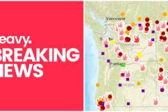
In Oregon, the Taylor Creek and Klondike Fires continue to cause issues. Containment is increasing, but the fires are still significant in size. Read on to learn more about the fires’ size, see maps, and learn evacuation details.
First, here is a map of both fires as of August 14:
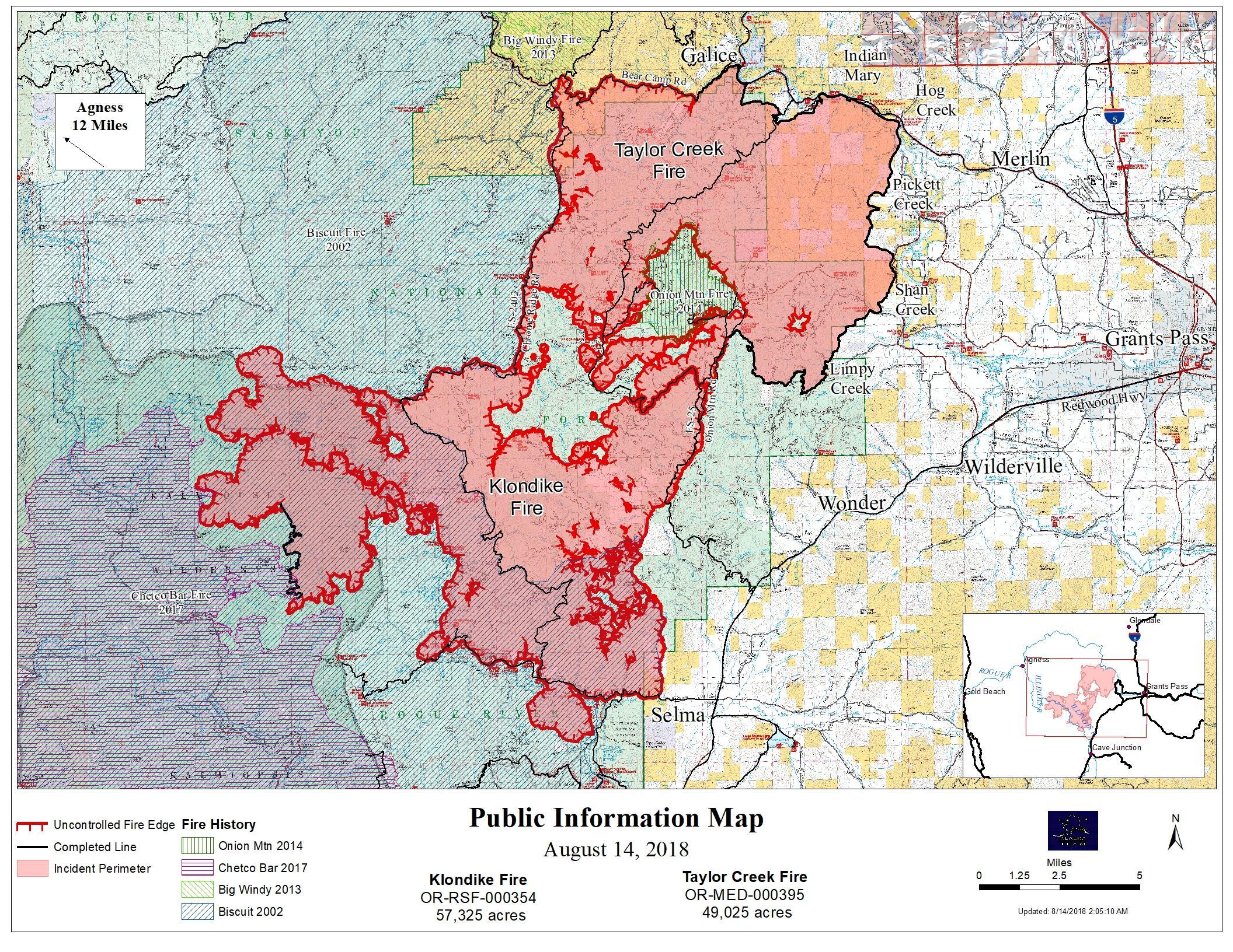
InciwebTaylor Creek Fire August 14
If you prefer interactive maps, we have a few options.
First, an interactive fire map of the general area is below, but you’ll need to zoom in to the see the Klondike and Taylor Creek fires:
Here’s another real-time fire map via Public RAPTOR for the Oregon area. You’ll also need to zoom in to see the particular fires of interest:
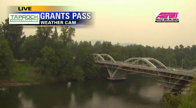
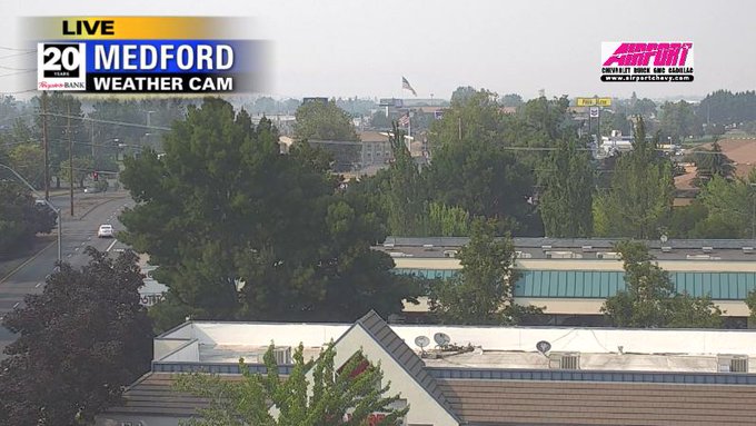
Here’s a look at the smoke from the two fires:
Thick smoke from the #KlondikeFire & #TaylorCreekFire has moved into Grants Pass and is heading towards the Medford area. I’m expecting visibility and air quality to go down into this evening. #StormWatch12

The Taylor Creek and Klondike fires combined are 55,248 acres, 15 percent contained and 9 miles northwest of Selma. The cause is lightning. Increased fire activity is still expected.
According to Inciweb, here are the evacuation updates:
- A Level 3 Go evacuation remains in effect for Oak Flat at the end of the Illinois River Road in Josephine County.
- Illinois River Road from mile post 2.5 to Oak Flat is at a Level 2 Get Ready.
- The Josephine County Sheriff’s Office has issued a Level 1 BE READY notice for the residences west of Hwy 199 between the intersection of Hwy 199 and Lakeshore Drive north to Waters Creek Road.
- This Level 1 notice also encompasses Hogue Drive, Norman Road, Illinois River Road, Squaw Mountain Road, Clear Creek Drive, Hidden Creek Road, Circle W Drive, Onion Mountain Road, Butcherknife Road, Slate Creek Road and all secondary roads connected with these road systems.
Visit Josephine County Emergency Management on Facebook for updated information about all evacuations.
The Klondike Fire and the Taylor Creek Fire are being managed by the Pacific Northwest Team 2.