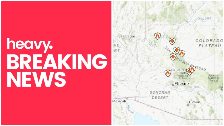
Inciweb Arizona Fire Maps
A number of active fires are burning right now in Arizona, and the largest among them is the White Wing fire, currently at 1,200 acres. Read on for more details.
NOTE: For Heavy’s most recent story about Arizona fires, please see the newest article here.
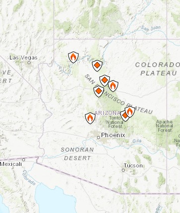
According to Inciweb, multiple wildfires are burning in Arizona.
You can see an interactive fire map for the Arizona area here, provided by NWCG.gov. An embedded version is below, but click on the link to see a full version.
Interestingly, the fires listed on Inciweb’s site don’t include White Wing. Many of them are prescribed fires that are set purposefully by officials to help prevent bigger wildfires from starting and spreading. Here are the major fires currently in Arizona. We’ll start with the White Wing Fire and then list the rest of the fires in alphabetical order.
White Wing Fire
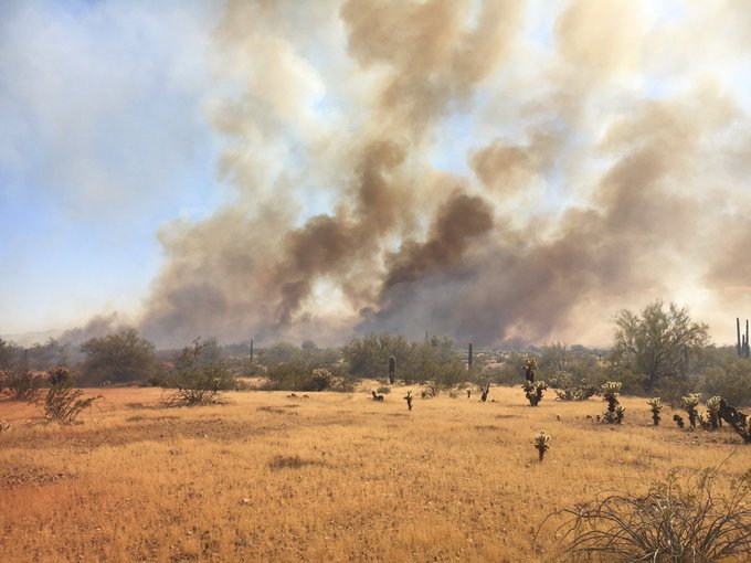
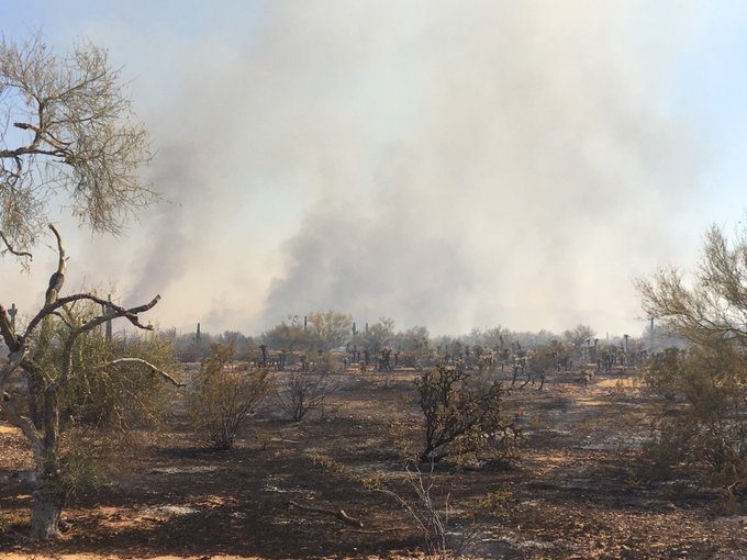
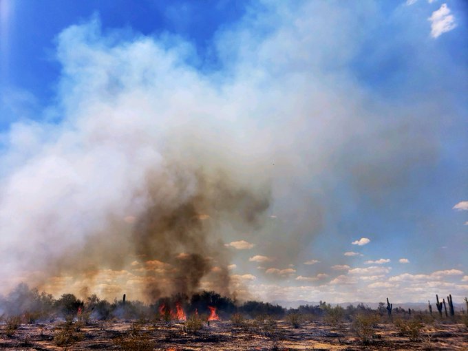
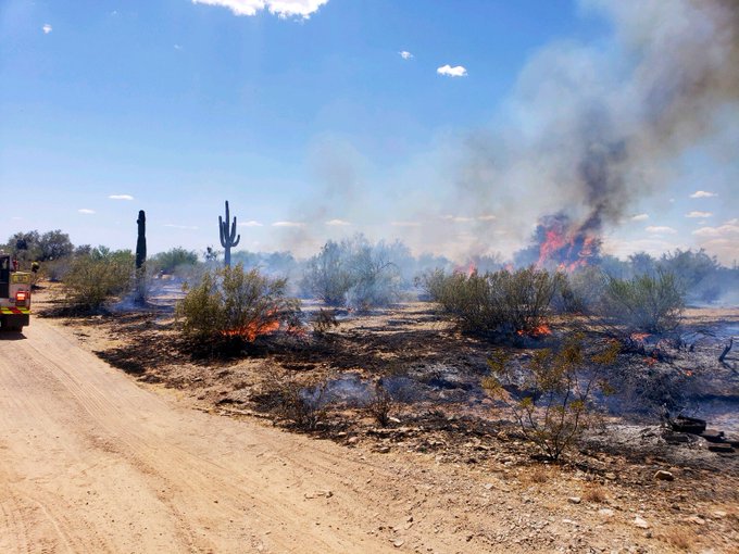
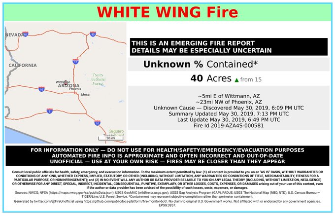
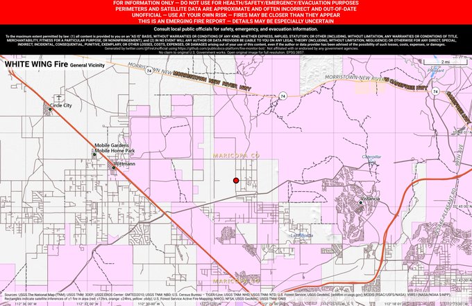
This fire is burning northwest of Phoenix and is now about 1,200 acres in size as of Thursday afternoon, AZ Central shared. It’s west of Wittmann and started out at about 60 acres before exploding in size. It’s burning south of State Route 74 and moving north.
So far no evacuations have been issued or road closures. A carpet of dry grass and weeds helps the fire grow.
You can see its approximate location below.
Hoyle Fire
This fire is 100 percent contained but still listed on Inciweb’s site. It was caused by lightning and grew to 503 acres. Some smoke may still be visible.
Kaibab NF South Zone RX Fire
This is a prescribed fire from late April, listed on Inciweb. It’s 5,200 acres and is 10 miles southeast of Williams. The description reads:
On the Williams Ranger District, crews are hopeful to finish the final 5200 acres of the Sunflower project which began in 2017. The area to be treated is located approximately 10 miles southeast of Williams between County Road 73 and Whitehorse Lake. A helicopter may be used to assist with aerial ignitions on this project and up to 1000 acres a day could potentially be ignited.
On the Tusayan Ranger District managers will continue working on the Reed Prescribed Fire project and will be looking to burn approximately 500 acres 3 miles northeast of the town of Tusayan. Crews may move over the Russell Rx project located approximately 18 miles southeast of Tusayan and continue working in this project area if conditions allow.
Maroon Fire
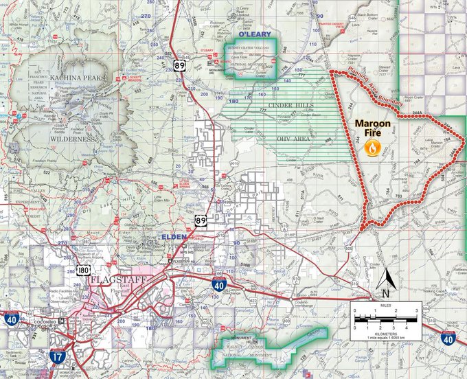
This wildfire is currently 1,100 acres and is burning in a cinder basin about 18 miles northeast of Flagstaff off Leupp Road near Maroon Crater, Inciweb noted. A temporary flight restriction was placed over the area. “Approximately 147 personnel are assigned to the fire, and a Type 3 Incident Management Team assumed command of management responsibilities on May 27.” This fire was caused by lightning.
This fire is unique because the Maroon Crater was used for WWII artillery training and unexploded ordnance might still be off the designated roads, Inciweb noted.
Mill Fire
This fire’s cause is under investigation. It’s 179 acres and 75 percent contained, located seven miles southwest of Crown King. No change in acreage is expected.
Slide Fire
This fire started May 1 and has not been updated on Inciweb since May 7. It was caused by lighting and is being managed. It is not an out-of-control fire. It’s 72 acres and burning 65 miles south of St. George, Utah.
South Rim Piles Fire
This is a prescribed fire that was started on May 10. According to Inciweb, “This project is anticipated to last throughout the month of May. As part of the South Rim Piles Project, they will burn 3,500 piles of woody debris east and west of South Entrance Road and south of Highway 64 (Desert View Drive) East. These 5’x5’x5′ piles are comprised of slash left after mechanical thinning or cutting of trees within the 150 acre project area, and are being burned as part of a key objective of the project, which is to reduce the fuel load.”
Spring/Summer Prescribed Fire
This is another prescribed fire burning 10 miles north of Flagstaff. The size is about 1,190 acres and it will be a one-day operation.
Tonto National Forest Rx Burns 2019
Another prescribed burn listed on Inciweb. The burn of more than 800 acres was completed in early May.
