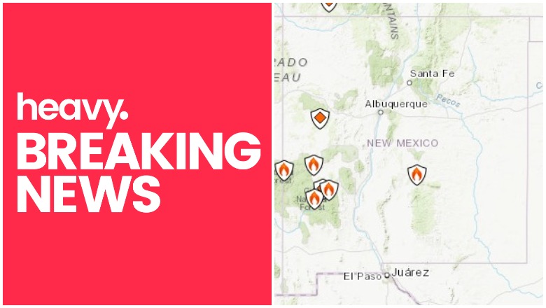
Inciweb New Mexico Fire map
New Mexico has a number of active wildfires right now. Here is the latest information about the fires in New Mexico as of June 18-19, 2019.
You can also view an interactive map provided by GEOMAC here. Using the map, you can zoom in to view specific fires in the New Mexico region. A map is embedded below from GEOMAC, but you may need to zoom in to use it. You can go to the full map and see all the full features here.
And Inciweb has a map you can see here. A screenshot is below. Inciweb has more fires listed than GEOMAC, interestingly.
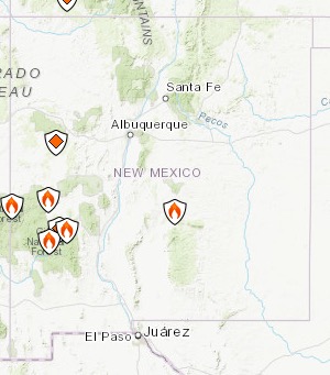
Inciweb
Here’s a list of the fires in New Mexico right now.
Elk Fire
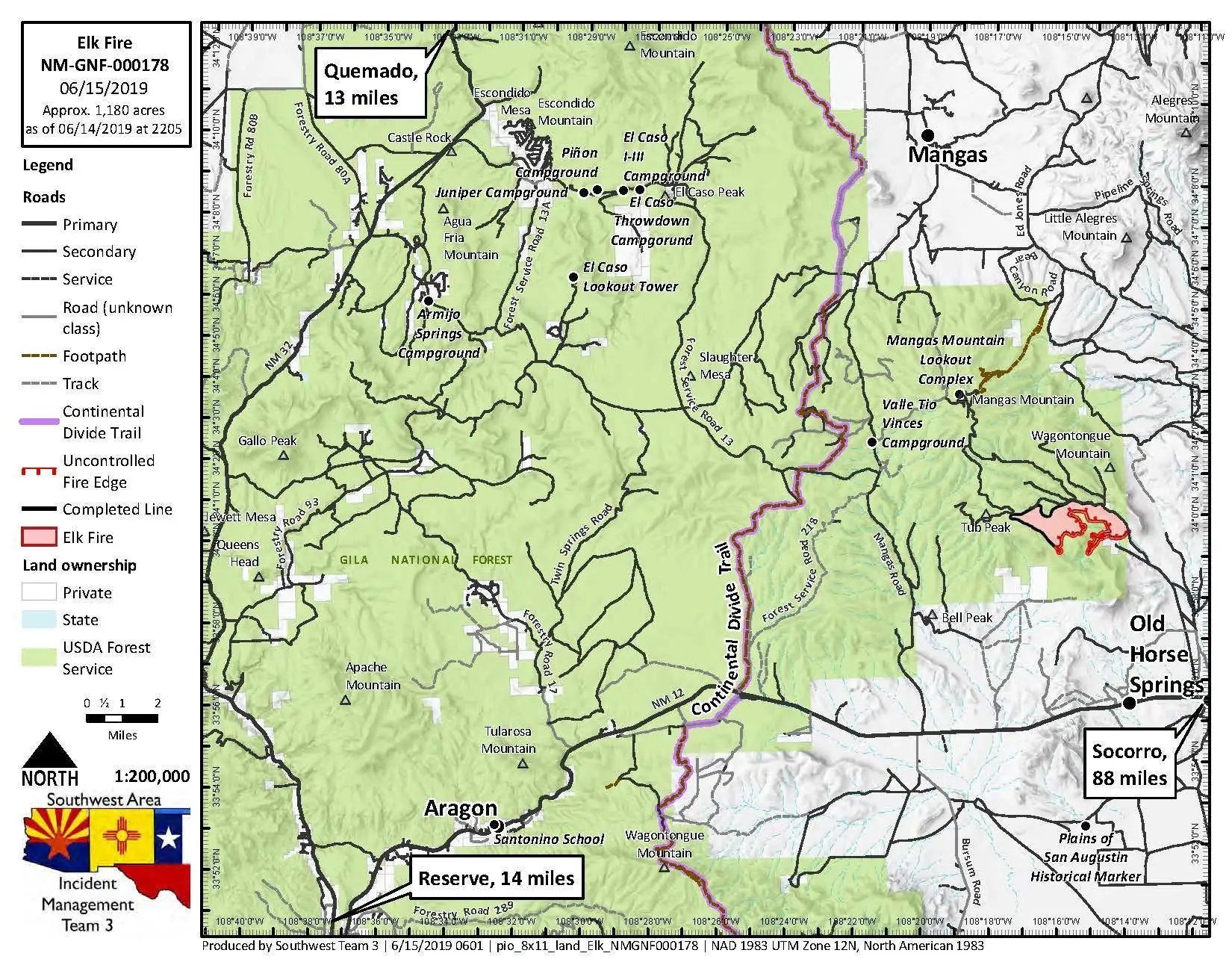
Elk Fire Map
This fire is 1,819 acres and 89 percent contained according to Inciweb. It started on June 6 and is 23 miles southeast of Quemado. Projected activity is: “Minimal movement within existing fire perimeter. Interior flanking, backing and creeping. Possible occasional single tree torching. Minimal smoke production as interior pockets consume.”
It’s burning on National Forest System lands in the Quemado Ranger District in Gila National Forest, Inciweb notes. They added: “Lack of access and resistance to control, the ability of firefighters to suppress this fire will be extremely difficult and limited. The public should expect to see this fire continue to grow across the landscape. Firefighters will continue to assess and engage this fire where and when opportunities exist.”
Indian Peaks Prescribed Fire
This is a prescribed fire set to help cut down on out-of-control fires later. It’s a 10,000 acre project.
Jordan Fire
This fire is 322 acres, Inciweb noted. It was caused by lightning and is in Catron County, New Mexico in the Gila Wildnerness boundaries, on National Forest System lands. It’s in monitor status at the moment, five miles north of Gila Cliff Dwellings National Monument. Minimal spread is expected.
Lone Mountain Fire
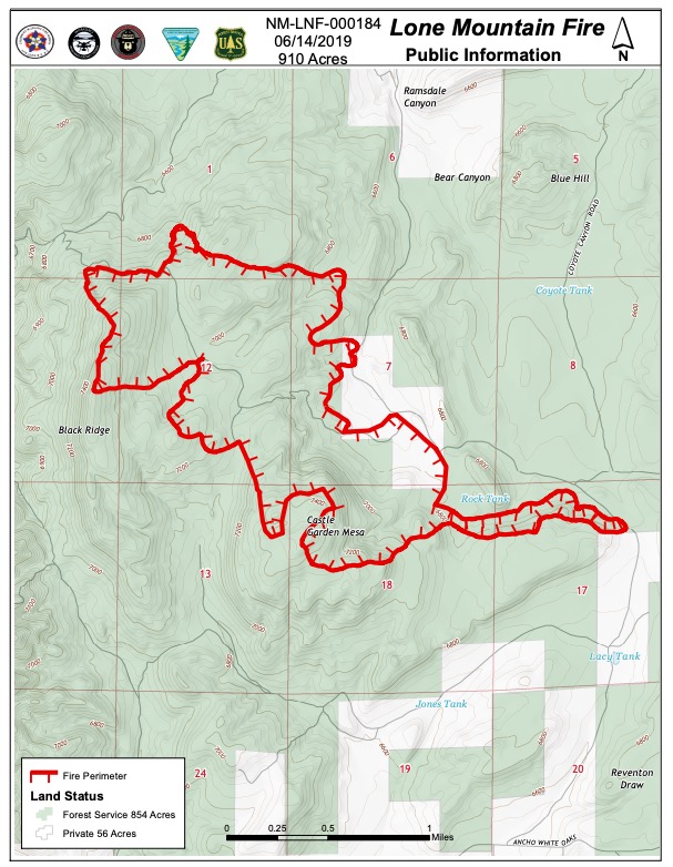
InciwebLone Mountain Fire Map
This fire is 910 acres and 70 percent contained. It was caused by lightning and is six miles north of White Oaks, NM, within the Castle Garden Mesa region. Inciweb notes: “The Lone Mountain Fire began on May 26, 2019, and is located about 6 miles north of White Oaks, NM on the Smokey Bear Ranger District of the Lincoln National Forest. Pinon-juniper, limited grass, and a few ponderosa pines cover most of the area where the fire is located. The fuel type, location and weather conditions make the Lone Mountain Fire a unique and ideal candidate for a confine-and-contain fire and could allow fire managers to reduce the number of pinon/juniper trees, fuel on the ground and create the space for more grass to grow.” The above map from June 14 is the most recent map.
Rendija Rx Fire
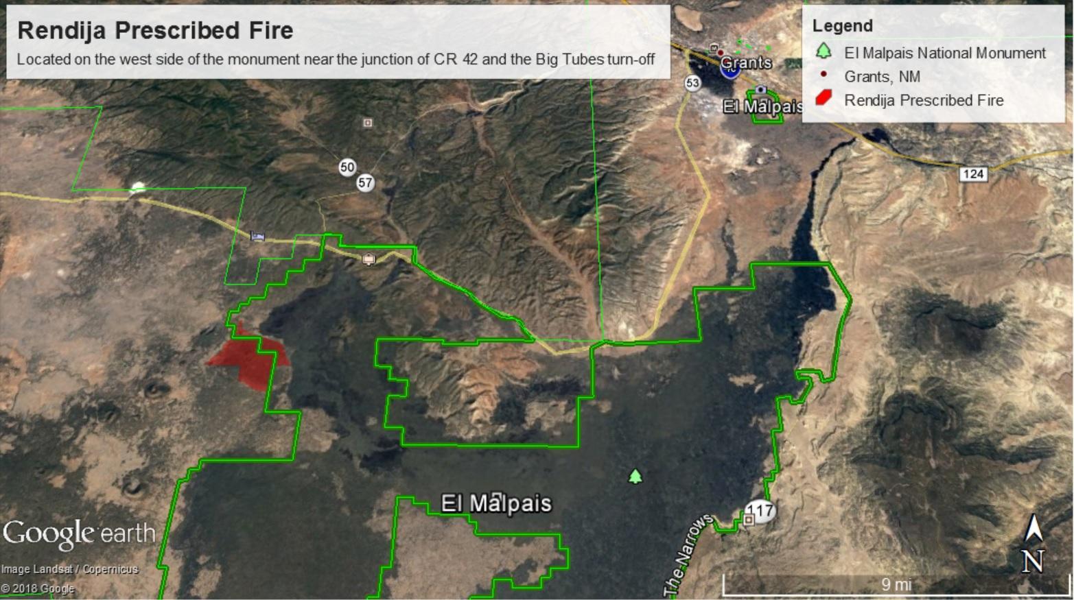
Inciweb
This is a prescribed fire set to help cut down on out-of-control fires later.
Roaring Fire
This fire is lightning-caused and started on June 5. It’s off US Highway 180 north of Luna Wok Center. It’s 400 acres and burning west of Bill Lee Mesa in New Mexico, near the border of Arizona. It’s now 100 percent contained but still listed as active on Inciweb.
Spring Fire
This lightning-caused fire is 3,500 acres and although listed as active on Inciweb, it’s 100 percent contained. It’s northwest of Winston, NM off Highway 59.