Utah Fire Info Utah Fire Maps Near Me
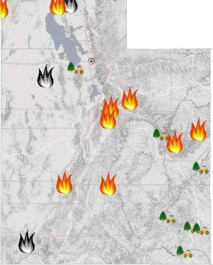
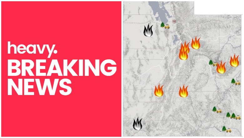
Fires are still a significant problem in parts of Utah. Here is a list of the major active fires on August 10, according to Utah Fire Info, NIFC.gov, and other sources, along with maps on where the larger ones are located.
You can view a map of all the Utah fires here. This map is being constantly updated. You can see a screenshot of Utah Fire Info’s current map below:
Bear Trap Fire
This fire is 4,713 acres and 0 percent contained. It’s 44 miles southeast of Price. It was caused by lightning.
Coal Hollow Fire
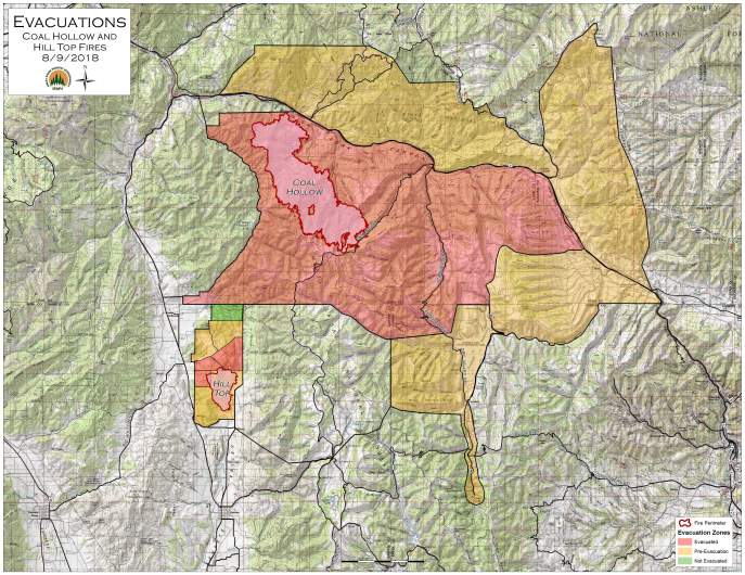
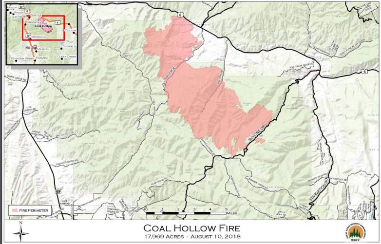
This fire is 17,969 acres and 0 percent contained. It’s 11 miles northeast of Price and 15 miles southeast of Spanish Fork, Utah. It was caused by lightning. Dry, hot winds have caused the fire to spread. It’s near SR-6 and Dairy Fork. The map above is an evacuation map.
Below is a perimeter map:
Power lines, highway, railroads, and residences are threatened by this fire, Inciweb reported. Yesterday, an emergency alert for this fire was sent to a greater area than intended, causing some confusion.
For updated details on this fire, call 435.427.0846 or 435.427.4849.
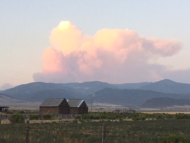
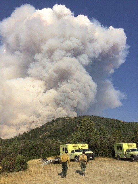
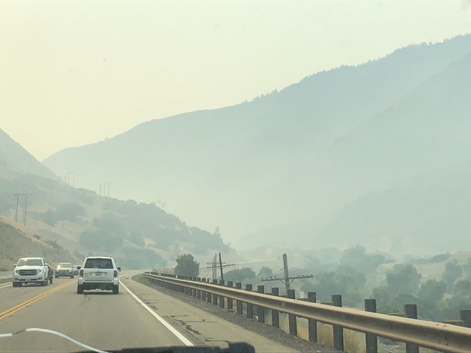
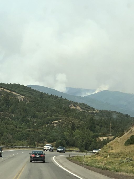
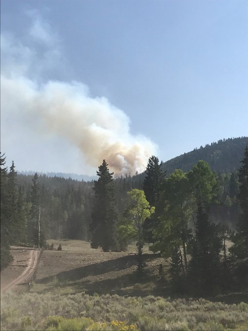
Here are more pictures of the fire:
The Coal Hollow Fire is mostly away from structures but the Hill Top Fire is near cabins, residences, and electricity, The Salt Lake Tribune reported. Lt. Gov. Spencer Cox, who lives near the Hilltop Fire in Fairview, said he thinks the worst may be over.
Current evacuations involving both fires include people camping or living in Bear Ridge, Fish Creek, or Soldier Summit areas, and some parts of Aspen Cove and Scofield, The Salt Lake Tribune reported. Additional evacuations include homes south of SR-6 to Carbon County line, and homes along SR 96 from its junction with SR-6 to Scofield.
Cove Creek Fire
Listed on Utah Fire Info’s map, this fire is 2,620 acres and 70 percent contained. It was caused by lightning and is 20 miles north of Beaver, Utah. It’s burning in rugged terrain and is being monitored.
Dollar Ridge Fire
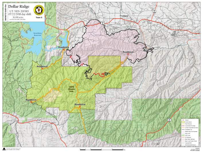
The Dollar Ridge fire is southeast of Strawberry Reservoir and has been burning on national forest land. It’s now 60,500 acres and 90 percent contained, as of August 10. The fire was caused by human activity.
The fire is located 36 miles southeast of Heber and 8 miles southwest of Duchesne, Utah. Two small pieces of uncontained fires are still producing small pockets of heat in remote areas, Inciweb reported. These are being checked daily.
Goose Creek Fire
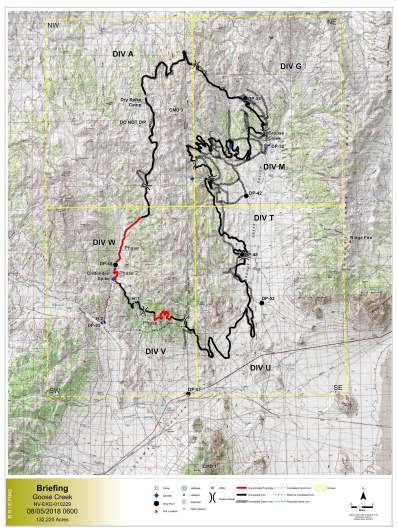
Listed on Utah Fire Info’s map, this fire is mostly in Nevada but also crosses over into part of Utah. It’s 132,220 acres and 97 percent contained. It was caused by lightning. Moderate fire behavior is expected, but in a holding pattern and not spreading. It’s about 25 miles southeast of Jackpot, Nevada.
Hansel Point Fire
This fire is in the Bear River Area and is 4,723 acres and 90 percent contained. It’s 10 miles northwest of Tremonton.
Hill Top Fire
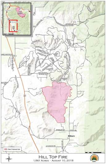
This fire is in the central area of Utah. It’s 1,846 acres and 61 percent contained. It’s located 15 miles north of Mount Pleasant. The cause is unknown. About 150 homes are threatened by the fire and evacuations are in place.
The Coal Hollow Fire is mostly away from structures but the Hilltop Fire is near cabins, residences, and electricity, The Salt Lake Tribune reported. Lt. Gov. Spencer Cox, who lives near the Hilltop Fire in Fairview, said he thinks the worst may be over.
Current evacuations involving both fires include people camping or living in Bear Ridge, Fish Creek, or Soldier Summit areas, and some parts of Aspen Cove and Scofield, The Salt Lake Tribune reported. Additional evacuations include homes south of SR-6 to Carbon County line, and homes along SR 96 from its junction with SR-6 to Scofield.
Monument Fire
Listed on Utah Info’s fire map, this fire is 200 acres in size and 0 percent contained.
Pole Canyon Fire
This fire is in Fishlake National Forest. It’s 225 acres and 0 percent contained. It’s 10 miles northeast of Loa.
According to the USDA Forest Service, firefighters are using hand ignitions to burn fuels on the north end to help contain the fire, but this has also led to increased acreage being reported.
Willow Creek Fire
This fire is 1,311 acres and 98 percent contained, per Utah Fire Info. It was caused by lightning and is located north of Highway 40 and Strawberry Reservoir on the Heber-Kamas Ranger District. Inciweb last updated details about the fire on July 27, so it hasn’t changed much in a while. Full containment is expected on October 11, 2018. The fire is located 20 miles southeast of Heber.
