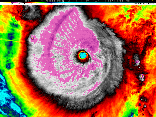
Typhoon #Bopha is the most intense tropical cyclone to make landfall anywhere on the globe since Typhoon Megi in October 2010.
— Met Office Storms (@metofficestorms) December 3, 2012
A typhoon as powerful as a Category 5 hurricane has made landfall in the Philippines, touching down over Baganga on the island of Mindanao.
Bopha is a mutant, breaking convention by forming unusually far south. So it’s hitting a region unaccustomed to typhoon devastation. And though relatively small in size, it’s packing fearsome force.
Dr. Jeff Masters geeks out on the birth of this freakish monster :
Bopha became a tropical depression unusually close to the Equator, at 3.6°N latitude. Tropical cyclones rarely form so close to the Equator, because they cannot leverage the Earth’s rotation to get themselves spinning. According to hurricane expert Dr. Paul Roundy of SUNY Albany, Bopha got its spin from a large-scale atmospheric wave called a mixed Rossby gravity wave. … Bopha became the most southerly typhoon ever recorded in the Western Pacific at 06 GMT on November 30, when the storm was at 3.8°N latitude.
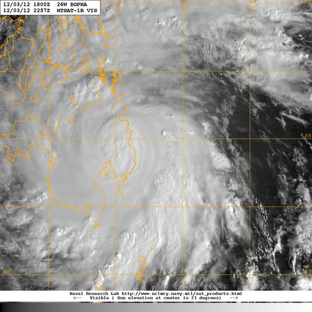
Here’s what Bopha looks like now, making landfall:
First visible satellite image of Typhoon #Bopha after landfall on Mindanao: ow.ly/fNgaw
— Met Office Storms (@metofficestorms) December 3, 2012

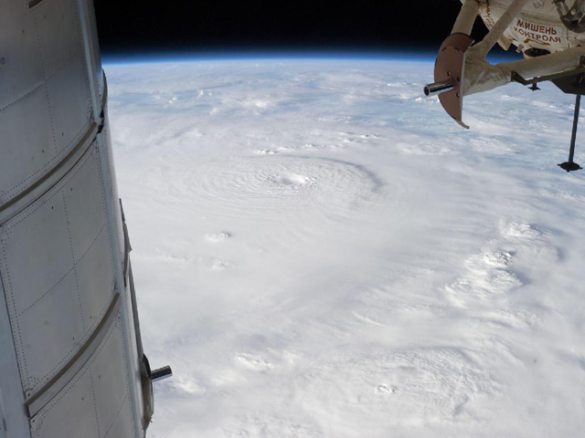
And here’s what it looks like from a space station:
Look at this stunning pic of Super Typhoon Bopha, taken from the International Space Station – 1.usa.gov/SsTFca #Bopha #ISS #c4news
— Liam Dutton (@liamdutton) December 3, 2012
