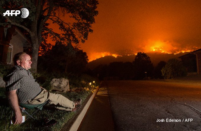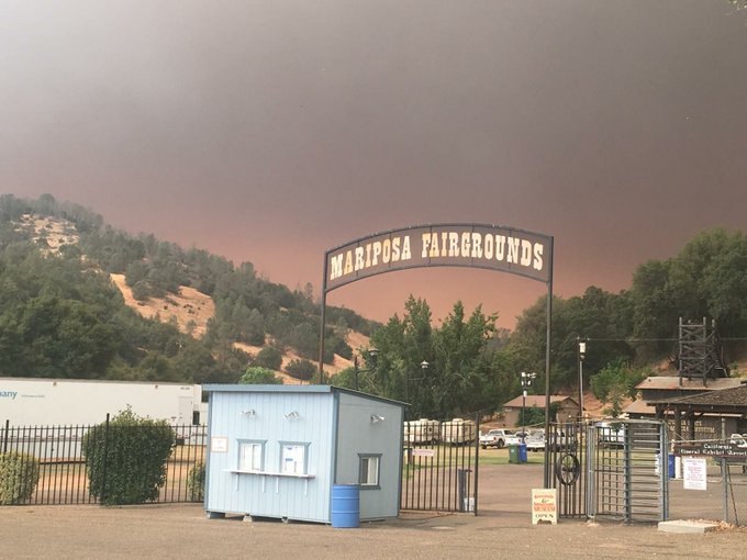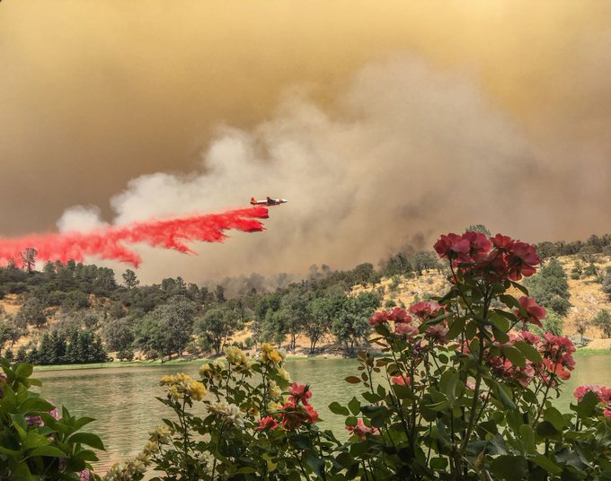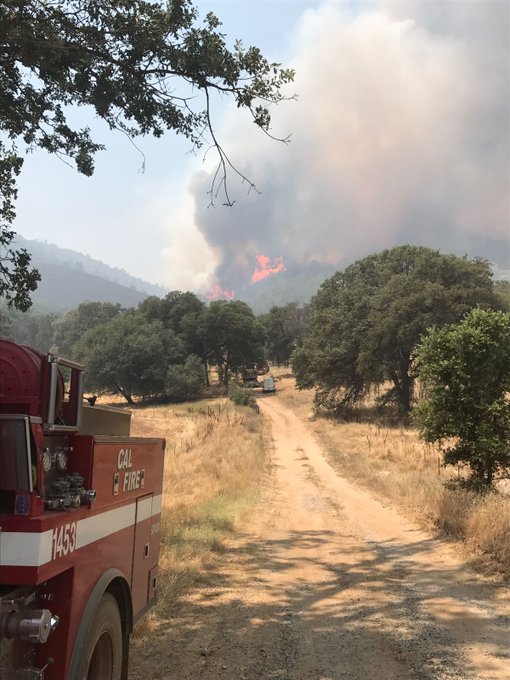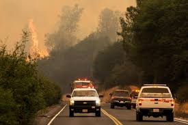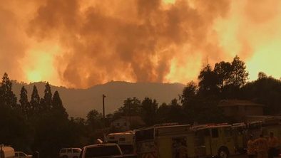
The historic Gold Rush Town of Mariposa was threatened by a raging blaze that had already marauded through 48,000 acres near Yosemite National Park.
The Town of Mariposa was evacuated as the massive fire grew overnight, leaving the deserted community resembling an “eerie ghost town” in the words of one reporter. Mariposa County, California as a whole was under a state of emergency.
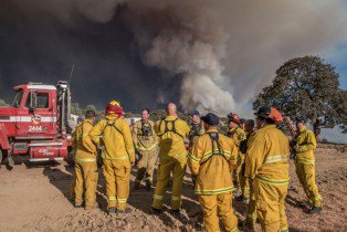
The fire started on July 16, and more than 2,200 fire personnel were battling it. The blaze is located near Lake McClure close to Yosemite National Park. According to The Fresno Bee, on July 19, “Concern was growing among fire officials that the fire would cross Agua Fria Road, then Yaqui Gulch Road to the southeast. If that happens, it can move swiftly east toward Mariposa County Fairgrounds two miles away.” The fire was spreading at about 1 mile per hour, the newspaper reported.
Here’s what you need to know:
1. Thousands of People Were Evacuated From Mariposa as the Fire Doubled Overnight
The fire that is imperiling the Town of Mariposa and other areas of Mariposa County is called the Detwiler Fire. According to California fire officials, the blaze, the cause of which is under investigation, ignited shortly before 4 p.m. on July 16.
Asked whether the Town of Mariposa could be saved, Cal Fire Capt. Steve Kaufmann told The Modesto Bee: “I really can’t answer that. Right now we are working one day at a time.” He said the fire was “erratic” and “volatile.” Thousands of people were evacuated.
By July 19, it had scorched 45,724 acres and was only 7% contained, Cal Fire said. The night before, the fire had only burned 25,000 acres and was 5% contained. Its pace slowed though, and, by 9 p.m. July 19, the fire had reached 48,000 acres with 7% contained. Twenty-nine structures were destroyed with 5 damaged.
The fire had destroyed 8 buildings, damaged 1, and was threatening 1,500 more in Mariposa. Cal Fire reported the location of the blaze as “Detwiler Rd and Hunters Valley Rd, 2 miles east of Lake McClure.”
People were already reporting losses:
According to Cal Fire, evacuation orders were in place for the following on July 19: “SOUTH COUNTY are in effect for the following areas: Mount Bullion Ridge Road from HWY 49N to HWY 140 and ALL feeder roads; Old Toll Road between Corbett Creek Road and HWY 49N, including Corbett Creek Road.; Mount Gaines Road to No.9 Road including No.9 Road; HWY 140 from Hornitos Rd. to Hwy 49S and ALL feeder roads both sides. Yaqui Gulch Rd. from HWY 140 to Old HWY ALL feeder roads on both sides. Old HWY from 49S to School House Rd. and ALL feeder roads on both sides. Buckeye Rd. to Benhur Rd. both sides of the road and feeder roads. Benhur from Buckeye to Hwy 49S. Mariposa Town HWY 140 from 49N to East Whitlock Rd. and ALL feeder roads. East Whitlock Rd from HWY 140 to Mosher Rd. and All feeder roads to the West. Hornitos Rd. from HWY 140 to Mount Gaines Rd. and ALL feeder roads. Including the community of Whispering Oaks. West Whitlock from 49N to Mosher Rd. and ALL feeder roads and all areas north of the Merced River.”
You can read more about the Detwiler Fire from Cal Fire here, including a list of shelters and road closures.
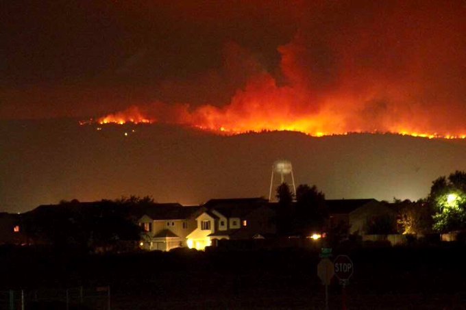
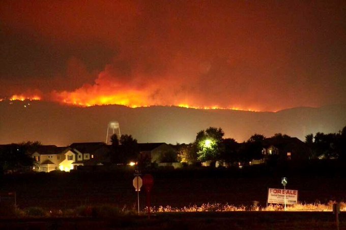
2. Photos & Videos Captured the Fire’s Orange Hue in the Sky
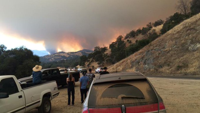
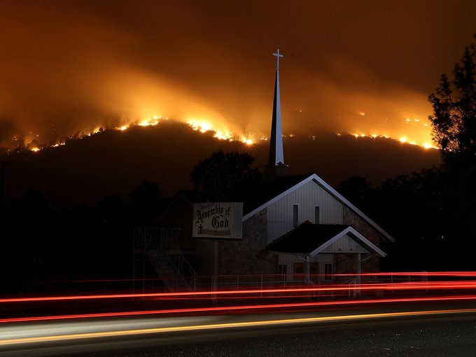
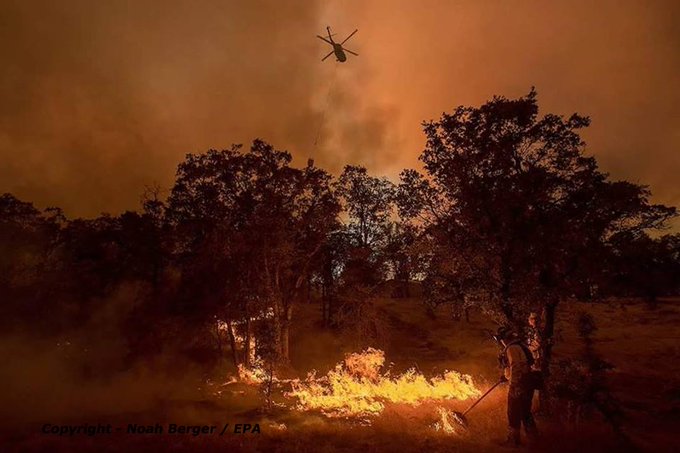
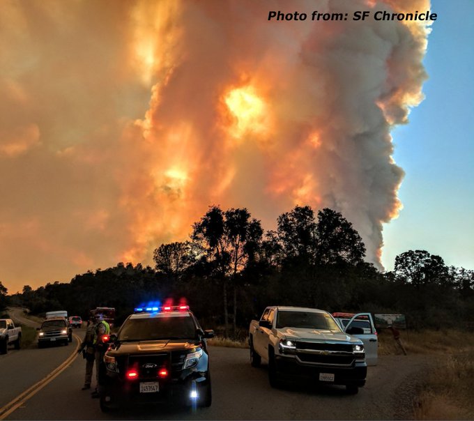
Dramatic photos and videos showed the ominous orange light of the fire over the horizon. Here are some of them:
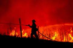
Flames have risen as high as 25 feet, reported The Modesto Bee. See more photos and videos from the scene:
3. Mariposa Is a Mining Town With a Gold Rush History
The Town of Mariposa’s history is cemented in the Gold Rush era.
According to Yosemite.com, “The town of Mariposa, first settled in 1849, is the southernmost in the Gold Rush chain of towns. The streets follow the original street grid laid out by John C. Fremont in 1850. Several disastrous early fires convinced settlers to rebuild with stone, brick and adobe.”
As a result, the town is filled with historic buildings. “Consequently, many of today’s existing structures in the historic downtown had been built by the late 1850s, with most of the remaining ones completed by 1900. Because they have always been in use, the old buildings haven’t had to be restored or recreated,” Yosemite.com reported.
Mariposa has worked hard to preserve its historic authenticity. “Mariposa has retained the small town charm of a bygone era, so you won’t see strip malls or chain stores, and Mariposa remains one of a handful of California towns without a stop light,” the site reported.
According to Ghost Towns.com, “Mariposa became the last southern link in a chain of mining towns that would extend north along what is now highway 49. Mariposa Creek was the main source of gold at first until hard rock mining took over. Kit Carson and two companions discovered the Mariposa Mine in 1849 and its ore output soon outgrew the crushing capacity of the primitive mill.”
4. Mariposa County Stands in the Shadow of Yosemite & Was Called ‘The Mother of Counties’
Yosemite National Park looms large in the area around Mariposa County, which calls itself “Home of Yosemite.”
The county courthouse was completed in 1854. “The Mariposa County Courthouse is the oldest superior courthouse west of the Mississippi and the oldest courthouse in continuous use west of the Rockies,” reports Yosemite.com.
“With Yosemite National Park in Mariposa’s backyard, tourism played a role as far back as the 1870s, though it didn’t really take off until automobile travel did too. Nowadays, about four million people visit Yosemite National Park each year. Over the years, the county has become host to a wide variety of popular annual festivals. Whichever month you arrive in, you’re bound to find something fun going on,” the site says.
According to the Mariposa County website, “Mariposa County was formed before California became the 31st State in the Union. On September 9, 1850 Peter H. Burnett, the first governor of California, signed the law creating 27 original counties. At the time Mariposa County comprised one-fifth of the territory of California despite the small density of population. In following years, Merced, Madera, Fresno, Kings, Tulare, Kern and portions of Mono, Inyo, San Bernardino, Los Angeles and San Benito would all spring from ‘The Mother of Counties’ as Mariposa was christened.”
5. Maps Show the Massive Fire’s Scope
KPCC has a fire tracker that provides information on the blaze.
See a map of the fire in 3D:
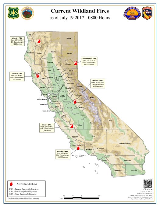
Other maps showed multiple California wildfires, although none as potentially devastating as Detwiler.
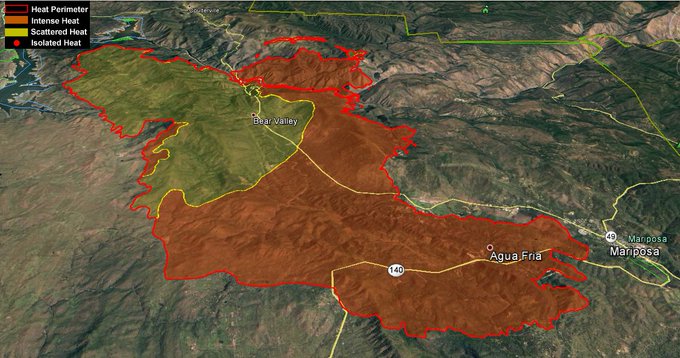
Here is a perimeter map:
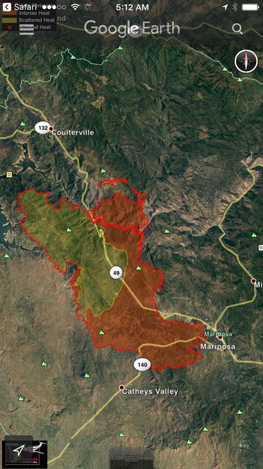
Here’s another view:
A live map is available here:
