Go to main menu
Go to search form
Heavy
Sports
Alerts
Hi,
Subscriber
Search
Sports
News, stats, rumors, predictions and roster moves around the NFL, NBA, MLB, NHL and more.
More From Sports
Denny Hamlin Responds to ‘Cheated Up’ Accusations After Michigan Win
6 minutes ago
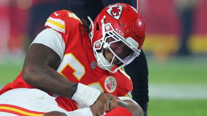
Chiefs Agree to Explore Trade Options For 4th Year OT
10 minutes ago
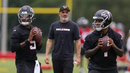
Falcons Coach Sends Clear Message on Michael Penix Jr & Tua Tagovailoa QB Battle
14 minutes ago
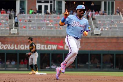
MLB World Reacts to Ronald Acuña Jr. Injury in Braves-White Sox Game
9 minutes ago
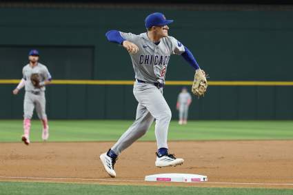
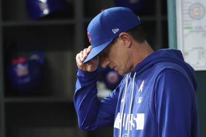
Chicago Cubs Announced Matt Shaw News Before Rockies Series
27 minutes ago
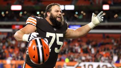
Joel Bitonio Takes Shot at Former Browns QB Johnny Manziel Following Retirement
39 minutes ago
Chiefs TE Turnings Heads, Climbing Depth Chart Behind Travis Kelce: Report
41 minutes ago
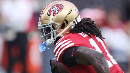
Brandon Aiyuk Doesn’t Hold Back Again on 49ers Situation
48 minutes ago
Raiders Provide Update on $36 Million Signing Amid Mysterious Absence
52 minutes ago
Chicago Cubs Announce Big News on 10-Year MLB Player Before Rockies Game
53 minutes ago
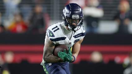
Jaxon Smith-Njigba Sends Clear Message on Sam Darnold With Seahawks
54 minutes ago
Lakers Receive Trade Path to Star Center for Luka Doncic After New Report
57 minutes ago
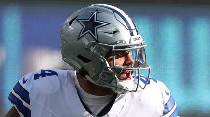
Dak Prescott Shares Thoughts on George Pickens Situation
9 minutes ago
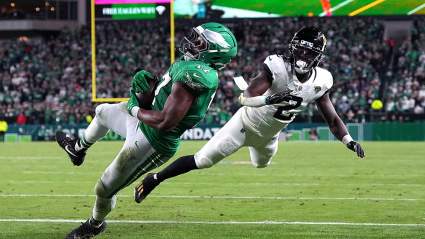
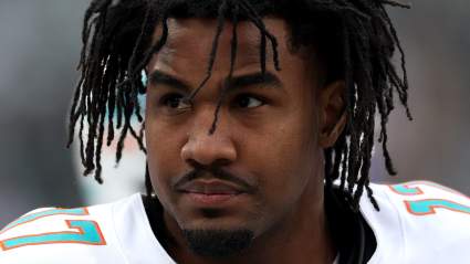
Broncos Face Unavoidable Question After Jaylen Waddle Trade
1 hour ago
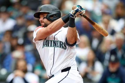
MLB World Reacts to Mariners Star Cal Raleigh’s Grand Slam With Tacoma Rainiers
1 hour ago
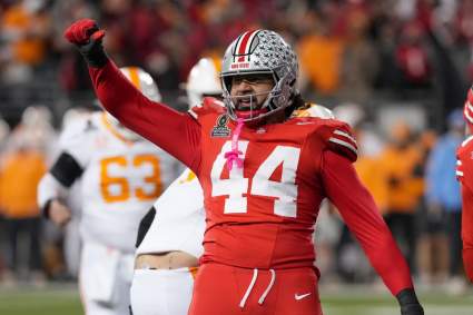
Ohio State Predicted to Deliver Huge June Recruiting win Over SEC Power
1 hour ago
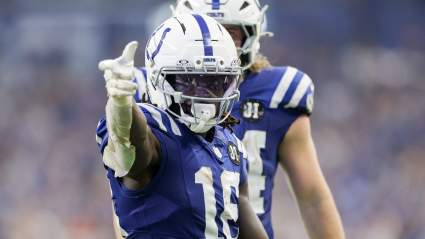
Colts $6.5 Million Dual Threat Leads Crucial Race Before Training Camp
2 hours ago
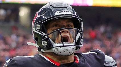
Texans Starter Gets Encouraging Update After Ominous Words
2 hours ago
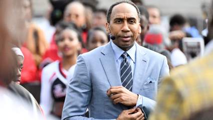
Stephen A. Smith Challenges Trump to IQ Debate After Knicks’ Game 3 Loss
2 hours ago
Hornets’ $75 Million Forward Linked to Offseason Trade: Report
2 hours ago
Atlanta Braves Legend Chipper Jones Makes Heartfelt Post
53 minutes ago
Chiefs Have Dark Horse Emerging for Potential Starting Role
2 hours ago
Joe Brady and Bills Get Great News as Mini Camp Kicks Off
2 hours ago
World Cup Group C Preview: Brazil Chases Record Sixth Championship
2 hours ago
Red Wings Top Goalie Prospect Linked to Central Division Club
2 hours ago
Vikings DC Brian Flores Gets Blunt on Harrison Smith’s Absence
2 hours ago
Kayvon Thibodeaux Makes Strong Statement on Giants Front Four
2 hours ago
Vikings Already Facing Serious Concerns Over QB Kyler Murray
2 hours ago
Bears TE Colston Loveland Doesn’t Hold Back on Luther Burden
2 hours ago
Chicago Cubs Announce Dansby Swanson Decision Before Rockies Series
1 hour ago
More from Sports
Load More Sports ↓
Close sidebar
Home
NFL
Expand sub-menu
Arizona Cardinals
Atlanta Falcons
Baltimore Ravens
Buffalo Bills
Carolina Panthers
Cincinnati Bengals
Cleveland Browns
Chicago Bears
Dallas Cowboys
Denver Broncos
Detroit Lions
Green Bay Packers
Houston Texans
Indianapolis Colts
Jacksonville Jaguars
Kansas City Chiefs
Los Angeles Chargers
Los Angeles Rams
Las Vegas Raiders
Miami Dolphins
Minnesota Vikings
New England Patriots
New Orleans Saints
New York Giants
New York Jets
Philadelphia Eagles
Pittsburgh Steelers
San Francisco 49ers
Seattle Seahawks
Tampa Bay Buccaneers
Tennessee Titans
Washington Commanders
NBA
Expand sub-menu
Atlanta Hawks
Boston Celtics
Brooklyn Nets
Charlotte Hornets
Chicago Bulls
Cleveland Cavaliers
Dallas Mavericks
Denver Nuggets
Detroit Pistons
Golden State Warriors
Houston Rockets
Indiana Pacers
Los Angeles Clippers
Los Angeles Lakers
Memphis Grizzlies
Miami Heat
Milwaukee Bucks
Minnesota Timberwolves
New Orleans Pelicans
New York Knicks
Oklahoma City Thunder
Orlando Magic
Philadelphia 76ers
Phoenix Suns
Portland Trail Blazers
Sacramento Kings
San Antonio Spurs
Toronto Raptors
Utah Jazz
Washington Wizards
MLB
Expand sub-menu
Arizona Diamondbacks
Athletics
Atlanta Braves
Baltimore Orioles
Boston Red Sox
Chicago Cubs
Chicago White Sox
Cincinnati Reds
Cleveland Guardians
Colorado Rockies
Detroit Tigers
Houston Astros
Kansas City Royals
Los Angeles Angels
Los Angeles Dodgers
Miami Marlins
Milwaukee Brewers
Minnesota Twins
New York Mets
New York Yankees
Philadelphia Phillies
Pittsburgh Pirates
San Diego Padres
San Francisco Giants
Seattle Mariners
St. Louis Cardinals
Tampa Bay Rays
Texas Rangers
Toronto Blue Jays
Washington Nationals
NHL
Expand sub-menu
Anaheim Ducks
Boston Bruins
Buffalo Sabres
Calgary Flames
Carolina Hurricanes
Chicago Blackhawks
Colorado Avalanche
Columbus Blue Jackets
Dallas Stars
Detroit Red Wings
Edmonton Oilers
Florida Panthers
Los Angeles Kings
Minnesota Wild
Montreal Canadiens
Nashville Predators
New Jersey Devils
New York Islanders
New York Rangers
Ottawa Senators
Philadelphia Flyers
Pittsburgh Penguins
San Jose Sharks
Seattle Kraken
St. Louis Blues
Tampa Bay Lightning
Toronto Maple Leafs
Utah Mammoth
Vancouver Canucks
Vegas Golden Knights
Washington Capitals
Winnipeg Jets
More Sports
Expand sub-menu
College Basketball
College Football
Cricket
Formula 1
Golf
NASCAR
UFC
WNBA
Olympics
Pro Wrestling
Heavy on Soccer
Tennis