Go to main menu
Go to search form
Heavy
Sports
Alerts
Hi,
Subscriber
Search
Sports
News, stats, rumors, predictions and roster moves around the NFL, NBA, MLB, NHL and more.
More From Sports
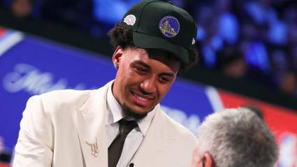
Warriors Star Reacts to Team Drafting Yaxel Lendeborg No. 11 Overall
35 minutes ago
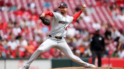
Braves Must Consider Trade For Nationals’ Breakout Starter
55 minutes ago
Celtics ‘Showing Interest’ in Trade for $270 Million Star Big Man
1 hour ago
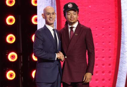
Hawks Draft Pick Kingston Flemings’ Bold Message to NBA Rookies
1 hour ago
Atlanta Braves Legend Chipper Jones Makes Honest Ronald Acuña Jr. Statement
1 hour ago
Former Dodgers’ Infielder Makes Honest Kiké Hernandez Statement
2 hours ago
Warriors GM Mike Dunleavy Addresses Viral Joe Lacob Draft-Night ‘Argument’
2 hours ago
Rams Projected to Consider Cutting Ties With Former Seahawks Draft Pick
2 hours ago
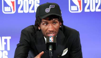
Utah Jazz Rookie Darryn Peterson Sends Warning For No. 1 Pick AJ Dybantsa
2 hours ago
Warriors Get Good News on NBA Draft Pick Yaxel Lendeborg
2 hours ago
Five-Year Cardinals’ Backstop Signs With Boston Red Sox
2 hours ago
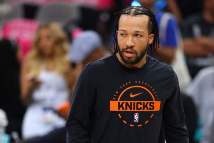
Becky Hammon Ends Knicks Jalen Brunson Controversy With Unexpected Statement
2 hours ago
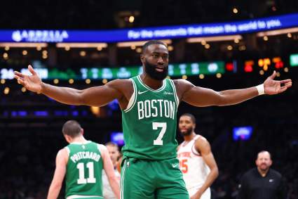
Brad Stevens Breaks Silence on Jaylen Brown Trade Rumors After Celtics Draft
2 hours ago
New York Yankees Legend Jorge Posada Makes Heartfelt Post
58 minutes ago
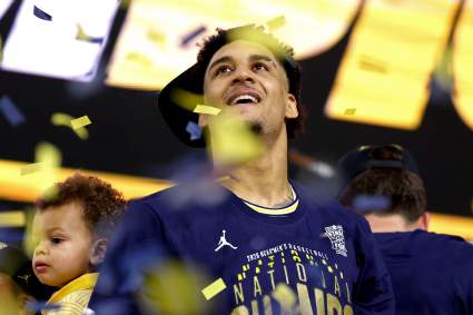
Golden State Warriors First Round Draft Pick Says he Used to ‘Hate’ Steph Curry
2 hours ago
Knicks Make Surprising Trades Moves at 2026 NBA Draft to Protect Title Core
3 hours ago
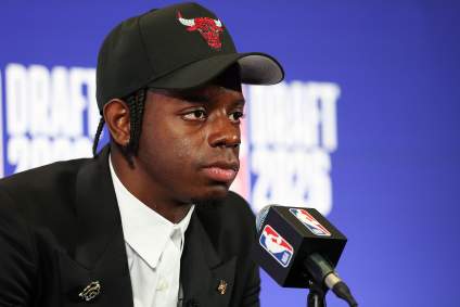
Chicago Bulls 21-Year-Old Star Sends Strong Message After Caleb Wilson Pick
3 hours ago
Boston Celtics Make Frontcourt Move Amid Jaylen Brown Uncertainty
3 hours ago
Broncos Get Clear Message About Potential Replacement for Jonathon Cooper
3 hours ago
Blackhawks Target Wrong Player in Massive Trade
3 hours ago
Chicago Cubs Manager Announced Bad Edward Cabrera News After Mets Game
3 hours ago
Second-Round NBA Mock Draft: All 30 Picks, Intel & Analysis After Wild First Night
3 hours ago
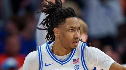
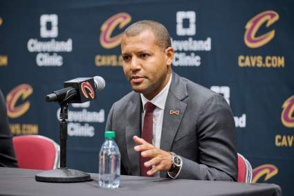
TRADE: Cleveland Cavaliers And Sacramento Kings Make A Deal
55 minutes ago
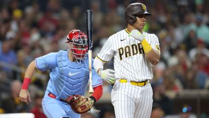
Phillies Manager Provides Kyle Schwarber Injury Update After Nationals Win
2 hours ago
Knicks Draft 20-Year-Old International Guard After Trade With Lakers
3 hours ago
Spurs Pull Off a Bold Trade Up at the 2026 NBA Draft to Address a Glaring Need
3 hours ago
Denver Nuggets Make Trade With San Antonio Spurs In NBA Draft
3 hours ago
Lakers Land Cameron Carr, Son of Former Kobe Bryant Rival
3 hours ago
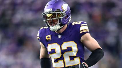
Vikings Insider Issues Clear Harrison Smith Update Before Training Camp
3 hours ago
Mike Macdonald Favorite Tipped to Set Career-High Mark for Seahawks
3 hours ago
More from Sports
Load More Sports ↓
Close sidebar
Home
NFL
Expand sub-menu
Arizona Cardinals
Atlanta Falcons
Baltimore Ravens
Buffalo Bills
Carolina Panthers
Cincinnati Bengals
Cleveland Browns
Chicago Bears
Dallas Cowboys
Denver Broncos
Detroit Lions
Green Bay Packers
Houston Texans
Indianapolis Colts
Jacksonville Jaguars
Kansas City Chiefs
Los Angeles Chargers
Los Angeles Rams
Las Vegas Raiders
Miami Dolphins
Minnesota Vikings
New England Patriots
New Orleans Saints
New York Giants
New York Jets
Philadelphia Eagles
Pittsburgh Steelers
San Francisco 49ers
Seattle Seahawks
Tampa Bay Buccaneers
Tennessee Titans
Washington Commanders
NBA
Expand sub-menu
Atlanta Hawks
Boston Celtics
Brooklyn Nets
Charlotte Hornets
Chicago Bulls
Cleveland Cavaliers
Dallas Mavericks
Denver Nuggets
Detroit Pistons
Golden State Warriors
Houston Rockets
Indiana Pacers
Los Angeles Clippers
Los Angeles Lakers
Memphis Grizzlies
Miami Heat
Milwaukee Bucks
Minnesota Timberwolves
New Orleans Pelicans
New York Knicks
Oklahoma City Thunder
Orlando Magic
Philadelphia 76ers
Phoenix Suns
Portland Trail Blazers
Sacramento Kings
San Antonio Spurs
Toronto Raptors
Utah Jazz
Washington Wizards
MLB
Expand sub-menu
Arizona Diamondbacks
Athletics
Atlanta Braves
Baltimore Orioles
Boston Red Sox
Chicago Cubs
Chicago White Sox
Cincinnati Reds
Cleveland Guardians
Colorado Rockies
Detroit Tigers
Houston Astros
Kansas City Royals
Los Angeles Angels
Los Angeles Dodgers
Miami Marlins
Milwaukee Brewers
Minnesota Twins
New York Mets
New York Yankees
Philadelphia Phillies
Pittsburgh Pirates
San Diego Padres
San Francisco Giants
Seattle Mariners
St. Louis Cardinals
Tampa Bay Rays
Texas Rangers
Toronto Blue Jays
Washington Nationals
NHL
Expand sub-menu
Anaheim Ducks
Boston Bruins
Buffalo Sabres
Calgary Flames
Carolina Hurricanes
Chicago Blackhawks
Colorado Avalanche
Columbus Blue Jackets
Dallas Stars
Detroit Red Wings
Edmonton Oilers
Florida Panthers
Los Angeles Kings
Minnesota Wild
Montreal Canadiens
Nashville Predators
New Jersey Devils
New York Islanders
New York Rangers
Ottawa Senators
Philadelphia Flyers
Pittsburgh Penguins
San Jose Sharks
Seattle Kraken
St. Louis Blues
Tampa Bay Lightning
Toronto Maple Leafs
Utah Mammoth
Vancouver Canucks
Vegas Golden Knights
Washington Capitals
Winnipeg Jets
More Sports
Expand sub-menu
College Basketball
College Football
Cricket
Formula 1
Golf
NASCAR
UFC
WNBA
Olympics
Pro Wrestling
Heavy on Soccer
Tennis