Fires are growing all across the country, especially in places like California and Oregon, but Texas is faring better at the moment than many other states. Only two fires are active right now, according to the Texas Wildfire Incident Response map. Read on for more details.
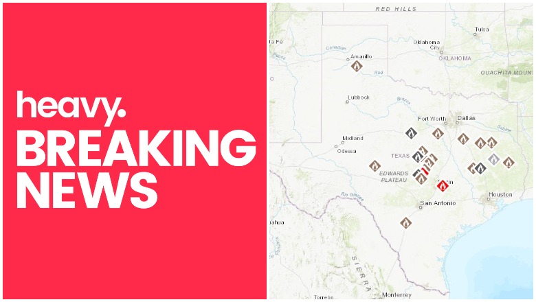
The Texas Wildfire Incident Response map records all the active fires in Texas and their containment levels. Here’s a screenshot of the current map. The map is not embeddable. If you visit the map here, then you can see each active fire, its location and containment information. We will also be listing the fire information below the map.
The two current active fires are listed below.
Park Road Fire
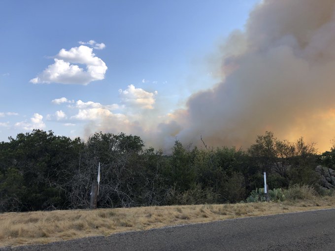
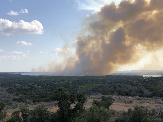
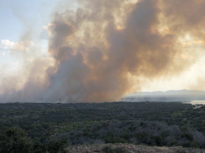
The Park Road fire in Burnet is 70 percent contained and 557 acres. Initially, 150 homes and Inks Lake State Park, plus a fish hatchery, were evacuated. Residents were later allowed to return, KUT reported.
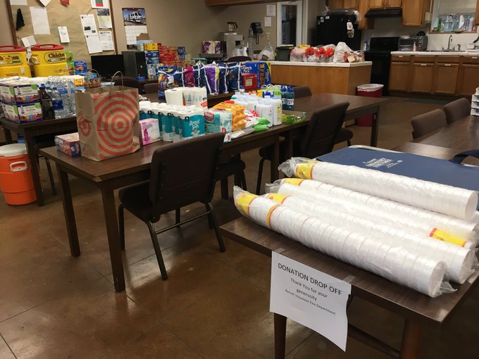
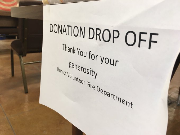
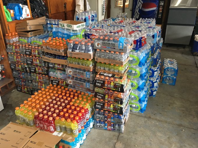
The Burnet volunteer fire department has received extensive donations for their hard work.
The fire started on private property off County Road 116 near Inks Lake State Park, KUT reported. Rocky conditions slowed efforts to gain 100 percent containment.
Riverbottom Fire
This fire is 10 acres in size and 0 percent contained. It’s located at latitude 30° 12.91′ N, longitude 97° 26.28′ W. The fire is located in central Bastrop.
Contained Fires
Thankfully, Texas firefighters have been able to get numerous other fires under control. According to the incident response map, the following fires are now 100 percent contained:
- 1258 Canyon in Armstrong
- 199 in Somervell
- 308 in Llano
- 412 in Mills
- Anderson 13:29 in Anderson
- Angelina 06:09 in Angelina
- Brushy Creek in Lampasas
- Cherokee 17:24 in Cherokee
- CR 108 in Burnet
- FM 2005 in Mills
- Grady in Houston
- Harman Road in Coryell
- Horse Creek in Eastland
- Hunt in Schleicher
- Leona in Frio
- Madison 17:03 in Madison
- Madison 23:06 in Madison
- Navarro 17:57 in Navarro
- Skybreak in Llano
- Underwood in Lampasas
