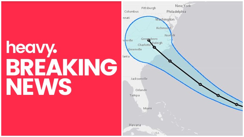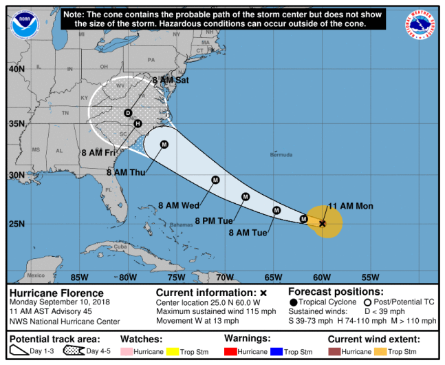
Hurricane Florence is expected to make landfall on Thursday, September 13, sometime in the afternoon. The projected landfall location is in North Carolina, but the path could change. South Carolina is still expected to experience severe weather from this major storm, though the eye of the storm is trending toward the north as of now.
“A hurricane is coming our way. Pretend, assume, presume that a major hurricane is going to hit South Carolina. Be prepared. Be ready. Whatever happens, we’re going to have a lot of rain and a lot of wind, even if the hurricane goes farther north,” South Carolina governor Henry McMaster said in a press conference on Monday.
The Governor of South Carolina Has Declared a State of Emergency & an Evacuation Order Will Go Into Effect on Tuesday

National Hurricane Center
The governor has already declared a state of emergency. He also urged those living in coastal counties to prepare to evacuate. The evacuation order is set to go into effect on Tuesday, September 11.
“We know this evacuation order is going to be inconvenient to some people. … But we are not going to gamble with the lives of the people of South Carolina,” McMaster said in a press conference on Monday. You can read more about evacuation zones here.
Weather Is Expected to Worsen on Wednesday evening & Will Be Severe on Thursday

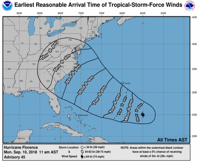
NHC
Tropical Storm force winds of over 40 miles per hour could arrive in the area as early as Wednesday evening, just after 8 p.m. local time. These winds will continue to increase throughout the entire state, picking up in speed late Thursday through early Friday.
“Hurricane Force wind gusts, over 74 mph, are possible across much of Horry County and for areas near the North Carolina border. Winds of this magnitude will be enough to cause scattered to widespread downed trees and power lines. A slight shift southward in the track of Florence would result in significantly higher wind speeds that could reach and exceed 100 mph,” WMBF News reports.
Most of the region will see anywhere from 4 to as much as 8 inches of rain beginning late Thursday and going into Friday.
“Rainfall of this magnitude would likely lead to areas of flooding. A slight shift southward in the track of Florence would result in significantly higher rainfall amounts and major flooding,” reports WMBF.
READ NEXT: Hurricane Florence’s Latest Track According to GFS Model