Go to main menu
Go to search form
Heavy
Sports
Alerts
Hi,
Subscriber
Search
Sports
News, stats, rumors, predictions and roster moves around the NFL, NBA, MLB, NHL and more.
More From Sports
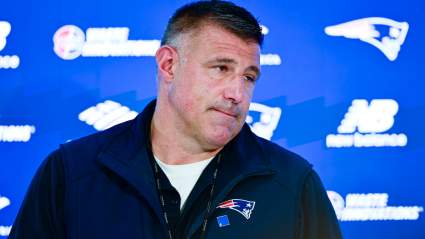
New Dianna Russini Comments Revive Mike Vrabel Controversy Before Training Camp
2 minutes ago
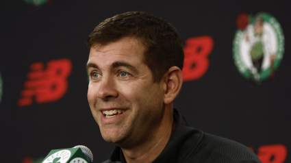
Former Celtics Player Wants Boston to Reunite With Championship Guard
24 minutes ago
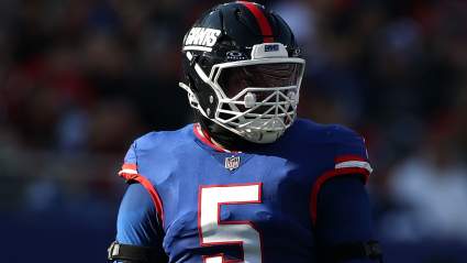
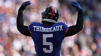
49ers Get Intriguing Trade Pitch for Giants’ Kayvon Thibodeaux
57 minutes ago
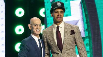
Ex-Celtics Player Makes Bold Prediction About Boston’s Rookie Big Man
8 minutes ago
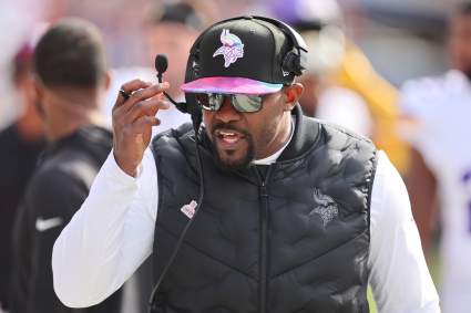
Vikings Get Hopes Dashed for Pro Bowl Edge Rusher
2 hours ago
Giants’ Kayvon Thibodeaux Receives Updated Trade Value
2 hours ago
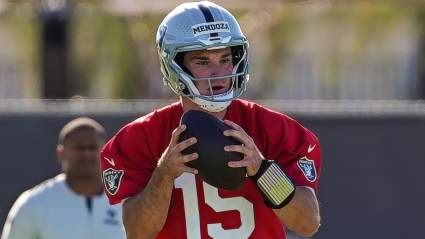
Raiders Get Strong Fernando Mendoza Take Before Training Camp
2 hours ago
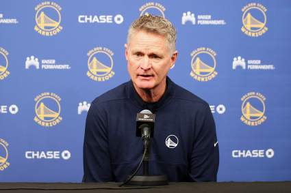
Golden State Warriors Reportedly Sign Elite 3-Point Shooter After NBA Draft
2 hours ago
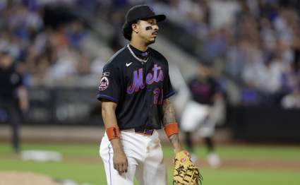
Mets’ Fans Make Feelings Known During Ugly Loss
3 hours ago
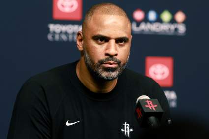
Houston Rockets Sign Elite Play-Making Point Guard After NBA Draft
2 hours ago
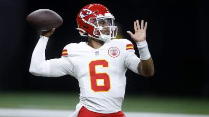
Chiefs Predicted to Cut Ties With QB Who Filled In for Patrick Mahomes
3 hours ago
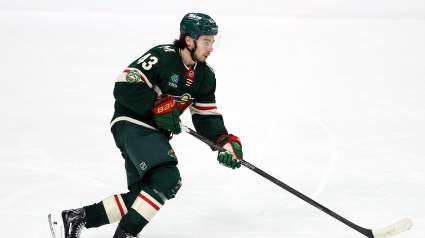
Quinn Hughes Extension Talks With Minnesota Wild Gets Massive Update
4 hours ago
Los Angeles Lakers Sign Elite Rim Protector After NBA Draft
2 hours ago
Struggling Bills WR ‘On the Chopping Block’ as Season Nears
4 hours ago
Canada’s Promise David Reacts to Scoring His First-Ever World Cup Goal
4 hours ago
Labaron Philon Jr.’s Jersey Number with Philadelphia 76ers Revealed
5 hours ago
Rams’ Ty Simpson Gets Worrying News Before First Training Camp
5 hours ago
MLB Trade: Mets Make Significant Statement With David Peterson Deal
5 hours ago
Patrick Mahomes Wife’ Brittany Makes Career Announcement
5 hours ago
Lions CB Terrion Arnold Expected to Face Serious NFL Punishment After Arrest
5 hours ago
Minnesota Timberwolves Making LaMelo Ball Top Trade Priority
5 hours ago
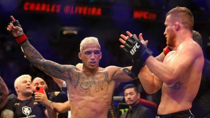
Charles Oliveira Makes Case For Fighting Justin Gaethje Next
6 hours ago
BREAKING: Cubs Acquire 2025 All-Star From New York Mets
5 hours ago
Los Angeles Lakers Quietly Sign Elite 3-Point Shooter After NBA Draft
2 hours ago
Lions CB Terrion Arnold’s Camp Issues Strong Statement After Arrest
3 hours ago
Lakers May Have Lost Two Center Targets in One NBA Draft Trade
6 hours ago
Raptors Interested in Acquiring LaMelo Ball
6 hours ago
Lakers Sign Polished 6-Foot-7 Wing After Missing out on Trade
6 hours ago
Miami Heat Quietly Sign Scoring Point Guard After NBA Draft
2 hours ago
Report: Multiple Teams ‘Strongly Pursuing’ Trade for Hornets’ $203 Million All-Star
6 hours ago
More from Sports
Load More Sports ↓
Close sidebar
Home
NFL
Expand sub-menu
Arizona Cardinals
Atlanta Falcons
Baltimore Ravens
Buffalo Bills
Carolina Panthers
Cincinnati Bengals
Cleveland Browns
Chicago Bears
Dallas Cowboys
Denver Broncos
Detroit Lions
Green Bay Packers
Houston Texans
Indianapolis Colts
Jacksonville Jaguars
Kansas City Chiefs
Los Angeles Chargers
Los Angeles Rams
Las Vegas Raiders
Miami Dolphins
Minnesota Vikings
New England Patriots
New Orleans Saints
New York Giants
New York Jets
Philadelphia Eagles
Pittsburgh Steelers
San Francisco 49ers
Seattle Seahawks
Tampa Bay Buccaneers
Tennessee Titans
Washington Commanders
NBA
Expand sub-menu
Atlanta Hawks
Boston Celtics
Brooklyn Nets
Charlotte Hornets
Chicago Bulls
Cleveland Cavaliers
Dallas Mavericks
Denver Nuggets
Detroit Pistons
Golden State Warriors
Houston Rockets
Indiana Pacers
Los Angeles Clippers
Los Angeles Lakers
Memphis Grizzlies
Miami Heat
Milwaukee Bucks
Minnesota Timberwolves
New Orleans Pelicans
New York Knicks
Oklahoma City Thunder
Orlando Magic
Philadelphia 76ers
Phoenix Suns
Portland Trail Blazers
Sacramento Kings
San Antonio Spurs
Toronto Raptors
Utah Jazz
Washington Wizards
MLB
Expand sub-menu
Arizona Diamondbacks
Athletics
Atlanta Braves
Baltimore Orioles
Boston Red Sox
Chicago Cubs
Chicago White Sox
Cincinnati Reds
Cleveland Guardians
Colorado Rockies
Detroit Tigers
Houston Astros
Kansas City Royals
Los Angeles Angels
Los Angeles Dodgers
Miami Marlins
Milwaukee Brewers
Minnesota Twins
New York Mets
New York Yankees
Philadelphia Phillies
Pittsburgh Pirates
San Diego Padres
San Francisco Giants
Seattle Mariners
St. Louis Cardinals
Tampa Bay Rays
Texas Rangers
Toronto Blue Jays
Washington Nationals
NHL
Expand sub-menu
Anaheim Ducks
Boston Bruins
Buffalo Sabres
Calgary Flames
Carolina Hurricanes
Chicago Blackhawks
Colorado Avalanche
Columbus Blue Jackets
Dallas Stars
Detroit Red Wings
Edmonton Oilers
Florida Panthers
Los Angeles Kings
Minnesota Wild
Montreal Canadiens
Nashville Predators
New Jersey Devils
New York Islanders
New York Rangers
Ottawa Senators
Philadelphia Flyers
Pittsburgh Penguins
San Jose Sharks
Seattle Kraken
St. Louis Blues
Tampa Bay Lightning
Toronto Maple Leafs
Utah Mammoth
Vancouver Canucks
Vegas Golden Knights
Washington Capitals
Winnipeg Jets
More Sports
Expand sub-menu
College Basketball
College Football
Cricket
Formula 1
Golf
NASCAR
UFC
WNBA
Olympics
Pro Wrestling
Heavy on Soccer
Tennis