Go to main menu
Go to search form
Heavy
Sports
Alerts
Hi,
Subscriber
Search
Sports
News, stats, rumors, predictions and roster moves around the NFL, NBA, MLB, NHL and more.
More From Sports
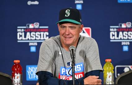
TRADE: MLB World Reacts To Seattle Mariners Acquiring 5-Year Player From Giants
26 minutes ago
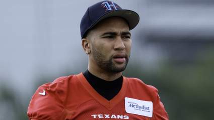
C.J. Stroud Urged to ‘Watch’ NFC Rival Amid Texans Trade Speculation
1 hour ago
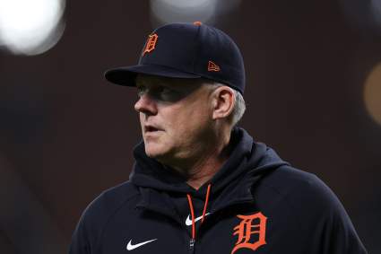
Detroit Tigers Release 3-Year MLB Player Before Yankees Series
23 minutes ago
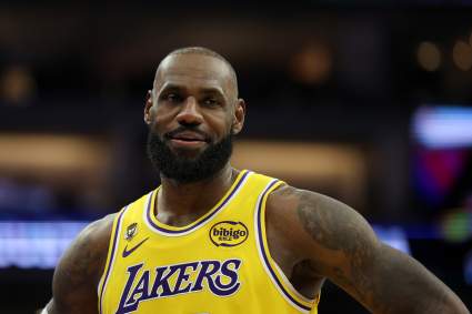
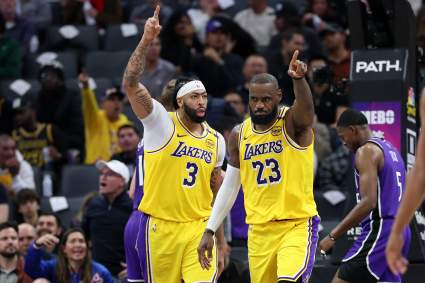
Miami Heat Get Big News on Potential LeBron James Reunion
2 hours ago
Phil Mickelson’s Wife Amy Has Past Connection to Latest Career Decision
2 hours ago
New York Yankees May Be Facing Harsh Austin Wells Reality
2 hours ago
Bears Great Brian Urlacher’s 3-Word Description of Caleb Williams
2 hours ago
Maple Leafs GM John Chayka’s Candid Statement on Starting Goalie Job
3 hours ago
$200 Million Star Guard Named Top Trade Target for Portland Trail Blazers
2 hours ago
Will Neymar Play Against Japan? Brazil Gets Key World Cup Injury Update
3 hours ago
Recently Released New York Yankees Player Is Still A Free Agent
30 minutes ago
Suns’ Free Agent Wish List Revealed
3 hours ago
Houston Rockets’ Offer for Lakers Key Starter Revealed
3 hours ago
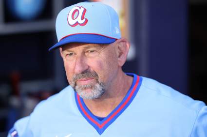
Atlanta Braves Manager Makes Honest Statement After Giants Game
2 hours ago
Raiders’ Keyron Crawford Doesn’t Hold Back on Maxx Crosby
3 hours ago
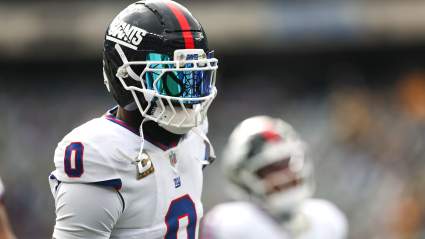
Undrafted Bucs WR With ‘Real Burner’ Speed Trending Toward Roster
3 hours ago
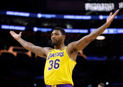
Lakers’ Marcus Smart Decision Appears All But Certain After Latest Report
4 hours ago
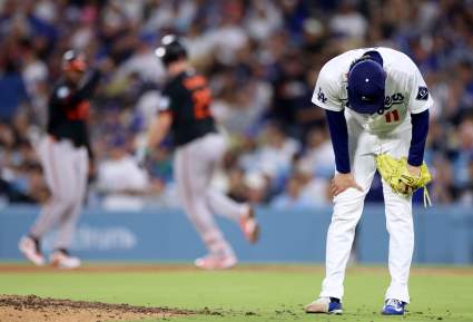
Dodgers May Be Facing Harsh Roki Sasaki Reality
4 hours ago
Maple Leafs Next 3 Moves following 2026 NHL Draft
4 hours ago
New York Yankees Star Leaves Fenway Park Without Speaking To Reporters
2 hours ago
Rams Get Clear Instructions on Aaron Donald After Ominous ‘Insight’
4 hours ago
San Francisco Giants Trade 5-Year MLB Player To Seattle Mariners
4 hours ago
Yankees’ Jazz Chisholm Called Out for ‘Immaturity’ by New York Legend
4 hours ago
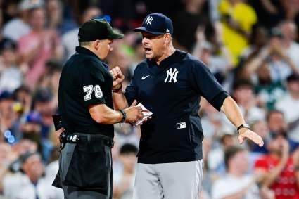
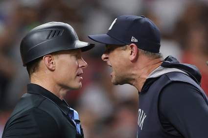
New York Yankees Manager Makes Brutally Honest Statement After Red Sox Series
1 hour ago
Browns QB Deshaun Watson Earns Grim Outlook as Starter
4 hours ago
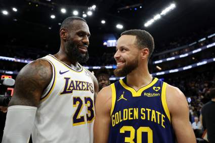
Lakers’ LeBron James Rival Plots Anthony Davis Reunion
4 hours ago
John Chayka Promises Maple Leafs Will Be ‘Aggressive’ on July 1
5 hours ago
Warriors’ Ambitious LeBron Plan Includes Reunion With $275 Million Star
5 hours ago
Giants All-Pro Reveals Brian Burns’ Secret
5 hours ago
Connor Zilisch Earns First NASCAR Cup Series Top 10
5 hours ago
More from Sports
Load More Sports ↓
Close sidebar
Home
NFL
Expand sub-menu
Arizona Cardinals
Atlanta Falcons
Baltimore Ravens
Buffalo Bills
Carolina Panthers
Cincinnati Bengals
Cleveland Browns
Chicago Bears
Dallas Cowboys
Denver Broncos
Detroit Lions
Green Bay Packers
Houston Texans
Indianapolis Colts
Jacksonville Jaguars
Kansas City Chiefs
Los Angeles Chargers
Los Angeles Rams
Las Vegas Raiders
Miami Dolphins
Minnesota Vikings
New England Patriots
New Orleans Saints
New York Giants
New York Jets
Philadelphia Eagles
Pittsburgh Steelers
San Francisco 49ers
Seattle Seahawks
Tampa Bay Buccaneers
Tennessee Titans
Washington Commanders
NBA
Expand sub-menu
Atlanta Hawks
Boston Celtics
Brooklyn Nets
Charlotte Hornets
Chicago Bulls
Cleveland Cavaliers
Dallas Mavericks
Denver Nuggets
Detroit Pistons
Golden State Warriors
Houston Rockets
Indiana Pacers
Los Angeles Clippers
Los Angeles Lakers
Memphis Grizzlies
Miami Heat
Milwaukee Bucks
Minnesota Timberwolves
New Orleans Pelicans
New York Knicks
Oklahoma City Thunder
Orlando Magic
Philadelphia 76ers
Phoenix Suns
Portland Trail Blazers
Sacramento Kings
San Antonio Spurs
Toronto Raptors
Utah Jazz
Washington Wizards
MLB
Expand sub-menu
Arizona Diamondbacks
Athletics
Atlanta Braves
Baltimore Orioles
Boston Red Sox
Chicago Cubs
Chicago White Sox
Cincinnati Reds
Cleveland Guardians
Colorado Rockies
Detroit Tigers
Houston Astros
Kansas City Royals
Los Angeles Angels
Los Angeles Dodgers
Miami Marlins
Milwaukee Brewers
Minnesota Twins
New York Mets
New York Yankees
Philadelphia Phillies
Pittsburgh Pirates
San Diego Padres
San Francisco Giants
Seattle Mariners
St. Louis Cardinals
Tampa Bay Rays
Texas Rangers
Toronto Blue Jays
Washington Nationals
NHL
Expand sub-menu
Anaheim Ducks
Boston Bruins
Buffalo Sabres
Calgary Flames
Carolina Hurricanes
Chicago Blackhawks
Colorado Avalanche
Columbus Blue Jackets
Dallas Stars
Detroit Red Wings
Edmonton Oilers
Florida Panthers
Los Angeles Kings
Minnesota Wild
Montreal Canadiens
Nashville Predators
New Jersey Devils
New York Islanders
New York Rangers
Ottawa Senators
Philadelphia Flyers
Pittsburgh Penguins
San Jose Sharks
Seattle Kraken
St. Louis Blues
Tampa Bay Lightning
Toronto Maple Leafs
Utah Mammoth
Vancouver Canucks
Vegas Golden Knights
Washington Capitals
Winnipeg Jets
More Sports
Expand sub-menu
College Basketball
College Football
Cricket
Formula 1
Golf
NASCAR
UFC
WNBA
Olympics
Pro Wrestling
Heavy on Soccer
Tennis