The Maria Fire in Ventura County, California near Santa Paula has jumped to more than 8,000 acres in size after just starting on October 31. Here are the latest maps for the fire, evacuation details, photos and videos, and how to stay updated on the latest news.
Maria Fire Size, Containment & Maps
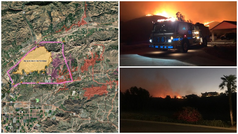
The Maria Fire started at 8:58 p.m. on October 31. near the top of South Mountain in Santa Paula, off Bradley Road and Solano Verde Dr. As of November 1, it’s now 8,730 acres and 0 percent contained, according to VC Emergency.
A map of current evacuation orders in Ventura County can be seen here or below. Pink outlined regions are mandatory evacuations, orange outlined regions indicate voluntary evacuations. You can enter your address to see where you fall in the evacuation orders.
Mandatory evacuations are issued for the following region as of 8:38 a.m. on Friday. Please note that the map above will have the most updated information.
North Boundary: South Mountain Road
West Boundary: West Los Angeles Ave
East Boundary: Balcom Canyon Road
South: Highway 118
Emergency shelters are in the following regions:
- Camarillo Community Center, 1605 Burnley St.l, Camarillo, CA 93010
- Camarillo Animal Shelter (Small Animals), 600 Aviation Dr, Camarillo, CA 93010
- Ventura County Fairgrounds (Large Animals), 10 W. Harbor Blvd., Ventura, CA 93001
- Earl Warren Showgrounds (Large Animals), 3400 Calle Real, Santa Barbara, CA 93015
Ventura County has also activated animal shelters in support of the fire. Small animals are being accepted at Animal Services Camarillo Shelter. Large animals are being accepted at the Ventura County Fairgrounds.
Here’s another map of the Maria Fire from MappingSupport.com.
This map above shows satellite hotspots and can give you a good idea of the fire’s size and intensity, but data is about three hours old and it should not be used for emergency planning.
Vta Co. may experience poor air quality due to the Maria Fire. Children, the elderly, those who work outdoors & with respiratory conditions & heart disease are most at risk. Stay indoors as much as possible until air quality improves to decrease your exposure to wildfire smoke.

Air quality may be poor in the region due to the fire. Stay indoors as much as you can until the air quality has improved.
The following schools are closed today, November 1. See VCOE for updates.
School Districts
- Briggs School District
- Hueneme Elementary School District
- Mesa Union School District
- Mupu School District
- Ocean View School District
- Oxnard School District (K-8)
- Oxnard Union High School District
- Pleasant Valley School District
- Rio School District
- Santa Clara Elementary School District
- Santa Paula Unified School District
Charter Schools
- ACE (Camarillo)
- River Oaks Academy Resource Center (Oxnard Only)
- University Preparation (Camarillo)
Maria Fire Live Streams, Photos & Videos
The account Weather Cam Live has a live stream of the Maria Fire right now.
The Periscope address for Weather Cam Live is here. Live streams may occasionally go down.
Here is another video of the fire.
#MariaFire; 11/1/19 AM Video Incident Update. @VCFD @VENTURASHERIFF @CALFIRE_PIO
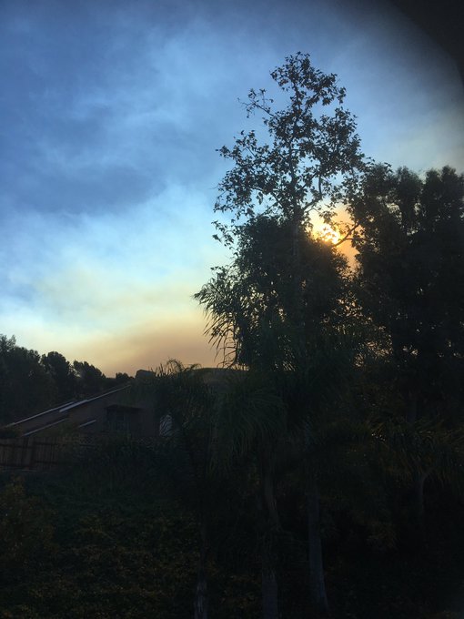
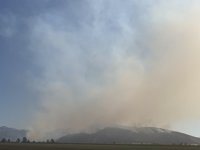
Here are more photos and videos from people in the region.
Seen from the West Hills of Ventura just now #MariaFire

Lots of ash & soot from #mariafire at the Ventura Auto Center


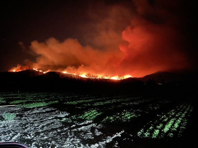
Flareups are being seen in different locations.
#MariaFire new flare up near Bradley Road can see from Camarillo
And more photos and videos:
And just like that (meanings lots of helicopter passes and fire management), the western progression of the #MariaFire fizzles…
From October 31:
Staying Updated on the Fire
A Red Flag warning is in effect until the evening, which could make fighting the fire more difficult.
The best source for staying updated on this fire is VC Emergency.
Another good source for updates is VCFD PIO on Twitter.
The Maria Fire is one of many fires in California today.
READ NEXT: California Fire & Evacuation Maps: Track Fires Near Me Today