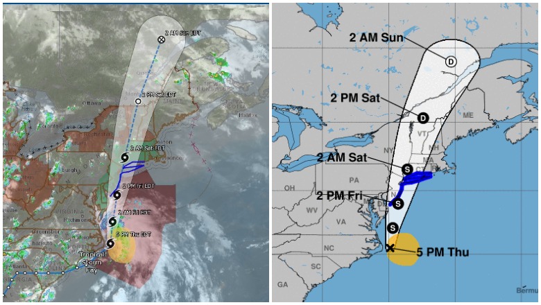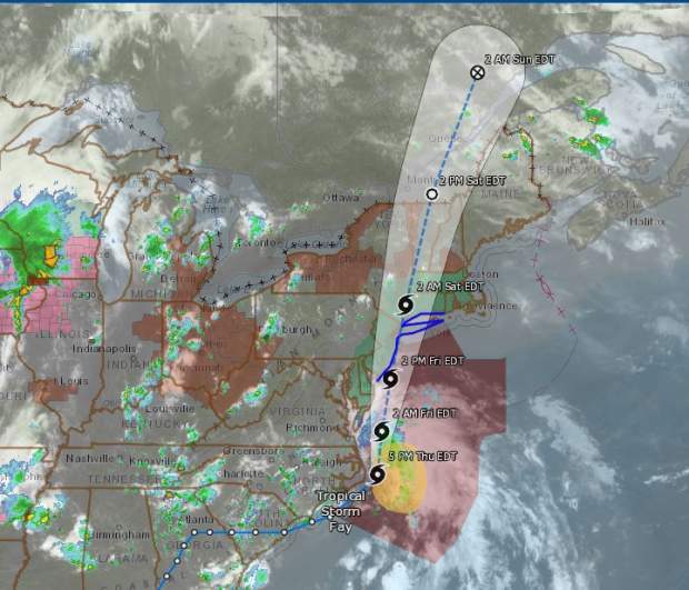
Tropical Storm Fay, the latest storm of the 2020 hurricane season, has formed. Where is the storm now and where is it heading? Read on to see live radar and maps of the storm, along with a map of its projected future path.
Live Streams, Trackers & Radars
This first live radar is from Windy.com. This radar is very helpful for tracking the storm’s lcoation. You can press the + button on the right-side of the map to zoom in more closely. You can also move the map ahead in time to see where the storm is forecast to be headed.
Note that depending on your browser, you might not see the storm right away. You might need to click on the map and pull the map up to see the storm:
Google has a storm tracker here for tracking Fay. It’s also embedded below. Depending on your browser, you may need to zoom into the map below using the + button to see the storm’s track. (Some browsers will show a far-away view despite the settings, but zooming in will allow you to see the map in full.) This map will update automatically.
Another live storm tracker, from NowCoast at NOAA.gov, is here. A screenshot is below, since this map can’t be embedded.
The Storm’s Projected Path
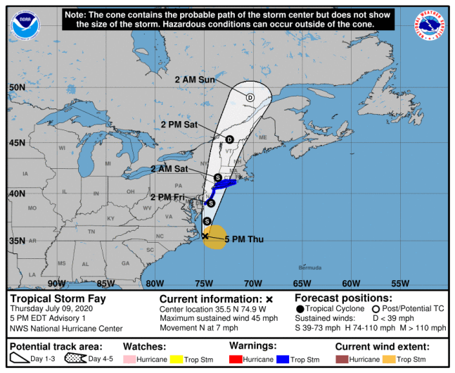
Below is a map from the National Hurricane Center showing the storm’s projected path.
Tropical Storm Fay is currently at 35.5 N, 74.9 W as of 5 p.m. Eastern, just off the coast of North Carolina, according to NOAA.
It had maximum sustained winds of 45 mph, moving north or 360 degrees at 7 mph. The minimum central pressure is 1005 MB or 29.68 inches.
The National Hurricane Center noted:
At 500 PM EDT (2100 UTC), the center of Tropical Storm Fay was located near latitude 35.5 North, longitude 74.9 West. Fay is moving toward the north near 7 mph (11 km/h). A northward to north-northeastward motion at a faster forward speed is expected over the next couple of days. On the forecast track, the center of Fay is forecast to move near the mid-Atlantic coast on Friday, and move inland over the northeast United States on Saturday.
Data from an Air Force Reserve reconnaissance aircraft indicate that maximum sustained winds are near 45 mph (75 km/h) with higher gusts. Some slight strengthening is forecast tonight and Friday. Weakening should begin after the center moves inland on
Saturday.Tropical-storm-force winds extend outward up to 140 miles (220 km) primarily to the east and southeast of the center.
The latest minimum central pressure reported by reconnaissance aircraft is 1005 mb (29.68 inches).
The storm is expected to move inland on Saturday, and tropical storm winds will first reach the coast on Friday.
According to NHC, a tropical storm warning was issued for “Cape May New Jersey to Watch Hill Rhode Island, including Long Island and Long Island Sound.”
READ NEXT: Daily COVID-19 Updates

