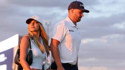
Sam Burns & Wife Caroline Campbell Receive Life-Changing News as He Contends at US Open 23 seconds ago
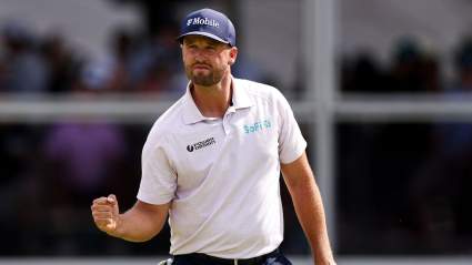
Scottie Scheffler Reveals Funny Son Bennett Cookie Story as He Chases Grand Slam at US Open 2 hours ago
‘This Still Doesn’t Feel Real’: Samantha Busch Faces First Father’s Day Without Kyle Busch 3 hours ago

![‘You’ve Got to Be [Expletive] Kidding Me’: Bubba Wallace’s Day Unravels in San Diego](https://heavy.com/wp-content/uploads/2026/06/GettyImages-2282443880-e1782076960120.jpg?quality=65&strip=all&w=425)