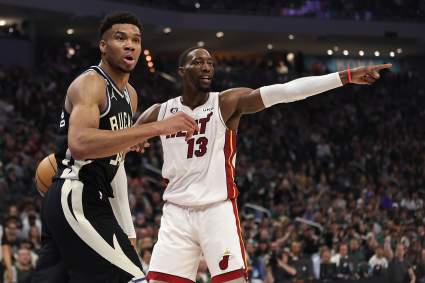
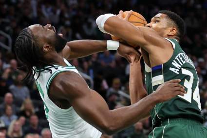
Washington Fire Map: Track Fires & Evacuations Near Me Today [July 9]

Washington fires near me

Inciweb Washington fires near me

Fires are burning in Washington as the summer heats up, and there are still a number of evacuations in place. Here are the details about the latest fires as of July 9, 2021. Read on for the details about the wildfires’ locations, containment, evacuations. Remember to also check your local news sources, as fire details can change quickly and with little warning.


Interactive Fire Maps for Washington

A great way to keep track of fire activity is by looking at interactive maps.

You can see an interactive map of both Oregon and Washington fires here, provided by NIFC.gov. You can also see the map below. Just click “OK” to get past the flash screen. Note that due to server traffic, it may take a while for the map below to load. You can zoom in on the flame icon or click on the flame to learn more about the fire.

Another helpful interactive map is run by Inciweb. You can see the full map here. Inciweb is “an interagency all-risk incident information management system.”

Firemappers has a statewide map below or here. This is a wildfire map, not an evacuation map. You may need to click “OK” to see the full map. You can go to your county to see evacuation maps for Oregon, Washington, or California here or here.


If you used to follow Google’s Crisis Map, that is no longer available. However, Google does provide other crisis and wildfire services that are local-based.

ESRI provides a wildfire live feed update for 2021.

Next are details on the individual fires, in alphabetical order. Some fires that are 100% contained may not be included, and this list is focusing mostly on major fires in the region.


Individual Washington Fires

Note that since evacuation details can change rapidly, it’s also good to stay tuned to local news, including local city and county Facebook and Twitter pages.

Andrus Fire

The Andrus Fire was first reported on July 5, according to NIFC, and is now 232 acres. The cause is not known. The fire started three miles northeast of Cheney, Washington, and spread quickly because of low humidity and dry conditions, Inciweb reported.

It’s 55% contained as of July 8 at 9:30 p.m., Inciweb noted. However, on July 9 Inciweb noted that containment is expected to increase throughout the day.

Only Level 1 evacuation orders remain in place, affecting 24 residents adjacent to the fire.

Batterman Fire

The Batterman Fire is 14,100 acres but now 80% contained, Inciweb reported. It was first reported on July 4 at 12:15 p.m. on the north side of Batterman Road in East Wenatchee heading east. The fire is expected to stay within control lines, Inciweb noted as of July 9 at 10:26 a.m. The cause is unknown.

On July 8, evacuation orders were reduced to Level 1.

Dry Gulch Fire

The Dry Gulch Fire is being managed in conjunction with the Lick Creek Fire. See details below listed under the Lick Creek Fire.

Green Ridge – Turkey Trail Fire

These are two smaller fires that started July 7 about 30 miles east of Walla Walla, Washington, near the Oregon border, Inciweb noted.

Lick Creek Fire

The Lick Creek Fire started on July 7 and is 1,500 acres in size, Inciweb reported. It started 15 miles southeast of Pomeroy, Washington. It’s now being managed in conjunction with the Dry Gulch Fire, however, and together they are considered to be 19,346 acres in size and 0% contained, according to Inciweb.

Inciweb noted on the night of July 8: “Level 3 (Go Now) evacuations are in place for residences on Asotin Creek Road west of the Cloverland fork. Level 2 (Get Set) evacuations are in place for Cloverland Road and streets off of Cloverland Road, as well as the Harlow Ridge area. In Clarkston Heights, areas south of Peola Road and Critchfield Road intersections to Quail Ridge/Swallow’s Nest Golf Course are at a Level 2.”

Inciweb also noted: “Shelter: Evacuees are able to take shelter at Lincoln Middle School in Clarkston. The shelter is being staffed by Red Cross Volunteers. Livestock and large animals can be evacuated to the Livestock Market at 3200 E Main St, Lewiston, ID 83501.”

An evacuation map for Dry Gulch posted on July 8 is below:

The Facebook page for these fires later noted:

Here’s the latest fire update page:

Silcott Fire

InciwebSilcott Fire

The Silcott fire was started by lightning on July 7 and is now 8,633 acres in size and 10% contained, Inciweb reported. The fire started two miles west of Asotin, Washington. However, officials said they don’t expect the fire to grow or spread outside its current borders, as of July 9 at 10:08 a.m.

It is just northeast of the Lick Creek Fire.

The Silcott, Dry Gulch, and Lick Creek fires together total 27,929 acres in size and 10% containment.

Inciweb noted on the night of July 8 regarding all three fires together: “Level 3 (Go Now) evacuations are in place for residences on Asotin Creek Road west of the Cloverland fork. Level 2 (Get Set) evacuations are in place for Cloverland Road and streets off of Cloverland Road, as well as the Harlow Ridge area. In Clarkston Heights, areas south of Peola Road and Critchfield Road intersections to Quail Ridge/Swallow’s Nest Golf Course are at a Level 2.”

Inciweb also noted: “Shelter: Evacuees are able to take shelter at Lincoln Middle School in Clarkston. The shelter is being staffed by Red Cross Volunteers. Livestock and large animals can be evacuated to the Livestock Market at 3200 E Main St, Lewiston, ID 83501.”

For an evacuation map and details, see the Lick Creek Fire update above.

READ NEXT: The latest COVID-19 variant details, cases, and vaccine updates