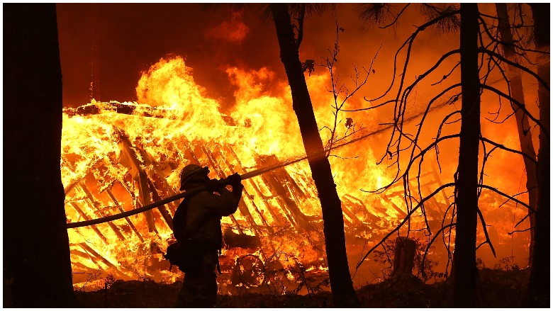
California is still being ravaged by wildfires, as thousands of people are being evacuated from all over the state. The main fires causing evacuations are the Camp Fire in Butte County near Paradise, the Hill Fire in Ventura County, and the Woolsey Fire causing evacuations in Malibu.
Countless photos have been pouring in, offering a close-up look at the destruction caused by the fires, including NASA. With the help of its satellites, NASA has released pictures that give a different look at the fires consuming the state.
NASA’s Landsat 8 satellite captured the above image of the Camp Fire on the morning of November 8, just a few hours after the blaze had broken out. The Camp Fire grew quickly, incinerating 20,000 acres in less than 14 hours. At one point, it grew by a average of more than one football field every three seconds, according to CNN. The outlet reports that by Friday morning, the Camp Fire had grown to more than 90,000 acres.
“From the vantage point of our @NASAEarth satellites in space, the fast-moving #CampFire threatening several towns in California can be seen in natural color. Take a closer look,” NASA posted on Facebook, with a link to their website.
Strong winds pushed the fire to the south and southwest overnight, tripling its size and spreading smoke over the Sacramento Valley, NASA reports. The fire in the picture is highlighted, and beneath the smoke the flames are creeping into the northern California community of Paradise, where it’s estimated that up to 90% of homes have been destroyed. CNN reports that 9 casualties in Paradise as the Camp Fire closed in around the community.
NASA posted an earlier photo, before the fires picked up momentum as they attempted to aid disaster management and response teams on the ground by tracking the fires from space. The difference in the two pictures gives a relative idea to how quickly the fires spread.
“Data collected by our NASA Earth satellites on wildfires is quickly put to work, aiding management and disaster response. Here, our satellite captured a Nov. 8 image of the fast-moving #CampFire in northern California. Actively burning fires, detected by thermal bands, are shown as red points.”
According to the NASA Earth Observatory website, more than 2,000 personnel are fighting the Camp Fire, which is expected to be contained by November 30. Firefighters are struggling to contain the fire due to unusually dry weather and strong winds, which “fan” the flames and carry the fire downwind. “The area also has heavy and dry fuel loads, or flammable material,” NASA reports.
State and local officials have closed several major highways and ordered evacuations in several towns, including Concow and Paradise, where the fatal fire burned most of the town to the ground.
READ NEXT: The Satanic Temple is Suing Netflix Over Baphomet Statue in The Chilling Adventures of Sabrina
