Jalen Brunson’s Sister Erica Brunson Fires Back at Becky Hammon After Knicks’ Title Run 17 minutes ago
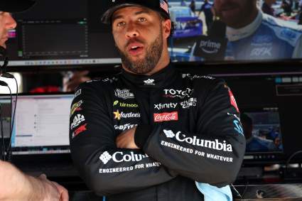
NASCAR Cup Series: Bubba Wallace Thought the Worst Was Over, Then Pocono Brought Back Old Memories 2 hours ago