
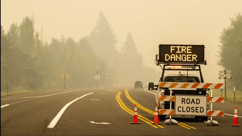
Oregon has 36 active fires, with more than 900,000 acres burned in the state. The fires have been so bad that the skies recently turned red. If you’re in the area, you’ll likely want to know about evacuations in your county. While you should stay tuned to local news, it can also be helpful to view live evacuation maps for your county. Here’s a look at maps for Josephine County and Jackson County, along with where to stay tuned for updates. To see updates on all Oregon fires, see Heavy’s story here.
Live Evacuation Maps for Josephine & Jackson Counties
Josephine County is providing an official fire and evacuation map here for both Josephine and Jackson counties. It may take some time to load depending on how many are visiting at a time. Although it’s embedded below, it may not always be viewable depending on your browser. The map is provided by Rogue Valley Emergency Management, which is a collaboration between the two counties’ emergency management teams.
According to the map’s legend, evacuation areas shaded slightly darker red with a broken line surrounding it are Level 3, shaded yellow are Level 2, and shaded green are Level 1. Bright red indicates a thermal hotspot. There’s also a red shading with a solid line that indicates the current fire perimeters, so keep that in mind when looking for Level 3 evacuation details. Purple lines indicate a municipal boundary. You can click on the map or go to the full-sized map to see exactly what each shaded region indicates. On the full-sized map, you can also enter your address for exact evacuation specifications in your area.
Follow Josephine County Emergency Management on Facebook for updates.
Jackson County’s Facebook is also posting updates.
Jackson County is updating evacuation information here. That website notes the following as a live evacuation map for the area, relevant for September 11. See the full-sized map here.
You can receive notifications from emergency management by signing up here.
Fire Details
Jackson County shared on September 11 that one of the fires affecting the area is the Almeda Fire which has had no growth in the last day and is 20% contained.
The Slater Fire is also affecting the Josephine County region.
Josephine County recommends the following for an emergency evacuation bag.
Evacuation zones are still in effect.
Statewide Maps of Oregon Fires
The maps below aren’t evacuation maps, but can help you track Oregon fires in the state.
Oregon Emergency Management is providing a statewide map of fires here, which you can also view below depending on your browser.
For another view, you can see an interactive map of the Oregon and Washington fires here, provided by NIFC.gov. You can also see the map below. Just click “OK” to get past the flash screen. Note that due to server traffic, it may take a while for the map below to load.
Another great interactive map is Inciweb’s full map here. Inciweb is “an interagency all-risk incident information management system.” There’s an embeddable Google Map that includes Inciweb fires, which you can see below and also here. Depending on your browser, you may need to zoom into the map below using the + button within the map or go to the “Layers” dropdown box and turn off everything but Wildfire Preparedness and Inciweb Wildfire Information.
Wildfire information is always changing, so stay tuned to local sources for the latest evacuation updates near you.
READ NEXT: The latest COVID-19 deaths, cases, and updates