Getty
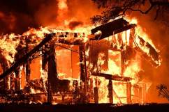
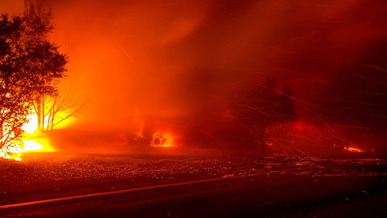
In the overnight hours of Sunday into Monday, several wildfires broke out in California, with the largest located in Napa, Sonoma, Mendocino, and Lake counties.
“A warning was issued today because dangerous fire conditions will exist until Tuesday in several areas of the San Francisco Bay Area, National Weather Service officials said. As of 11 a.m. a warning called a Red Flag Warning had been issued for the valleys and hills of the East Bay and North Bay and the Santa Cruz Mountains. Weather officials said the warning is in effect for those areas until 5 a.m. Tuesday,” SF Gate reports.
Below is a list of the current wildfires blazing in California, according to the Cal Fire website.
As of 6:14 p.m. on October 8, the Ridge Fire located in Lake County was affecting 87 acres and was 75 percent contained.
“Firefighters are currently working a wildland fire near the community of Clearlake. The terrain in the area is grassy oak woodland, steep terrains, and difficult access.”

As of 6:46 a.m. on October 8, the Fort Fire in Sonoma County was 100 percent contained.
As of 6:02 p.m. on October 8, the Jones Fire in Shasta County affecting 40 acres was 70 percent contained.
As of 6:35 p.m. on October 8, the Freeway Fire in Tehama County was 100 percent contained.
As of 6:31 p.m. on October 8, the Blue Fire was affecting 25 acres in Humboldt County.
As of 6:31 a.m. on October 9, the Cascade Fire in Yuba County had grown to 2,500 acres.
As of 6:39 a.m. on October 9, Mendocino County’s Potter Fire had grown to 1,500 acres.
“Firefighters are at scene battling the large fire. High winds are hindering fire fighting efforts.”
As of 6:36 a.m. on October 9, Nevada County’s McCourtney had spread over 200 acres.
As of 6:13 a.m. on October 9, the Cherokee Fire in Butte County had burned 1,000 acres and caused evacuations. The Cherokee Fire is located off Cherokee Road and Zonalea Lane. There are road closures on Highway 70 from Highway 191 to Table Mountain Road.
As of 7:22 a.m. on October 9, the Redwood Fire in Mendocino County had grown to 4,500 acres.
As of 5:57 a.m. on October 9, the Atlas Fire in Napa County was covering 5,000 acres. For evacuation information, click here.
As of 7:33 a.m. on October 9, the Patrick Fire in Napa County had covered 100 acres.
As of 7:33 a.m. on October 9, the Nuns Fire in Sonoma County blazed through 300 acres.
As of 7:33 a.m. on October 9, the Tubbs Fire in Napa County grew to over 20,000 acres.
For a full map of the areas where these wildfires are located, please click here.