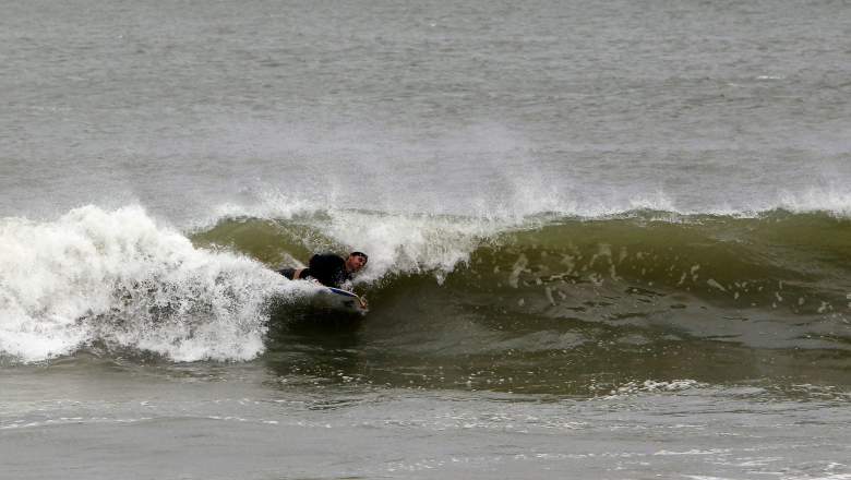
Getty Storm surges in Florida are expected to be anywhere from one to fifteen feet.
Hurricane Irma has made landfall in Florida. The storm made its first landfall in the U.S. in Cudjoe Key around 9:10 a.m.
That news was announced by the National Hurricane Center (NHC), which wrote, “Hurricane #Irma makes landfall at Cudjoe Key in the lower Florida Keys.”
The NHC also wrote:
“The center of Hurricane Irma made landfall at Cudjoe Key in the lower Florida Keys at 9:10 am EDT. A gust to 106 mph (171 km/h) was just reported at the National Key Deer Refuge in Big Pine Key.
Storm surges are expected to be anywhere from one to fifteen feet, especially along the west coast area, all the way from Marco Island to the Florida Keys. The storm surge could be the biggest obstacle from the tropical storm, and is the biggest reason for hurricane-related deaths by drowning.
“Storm surge flooding of 10-15 ft is now expected along the SW Florida coast,” the NHC wrote in a tweet. “This is a dire and life-threatening situation.”
“This will cover your house,” Gov. Rick Scott said Saturday, as reported by ABC News. “It flows in fast, very fast. You will not survive all this storm surge.”
Here’s a list of storm surge levels by city:
Tampa Bay: 5-8 Feet
Anna Maria-Captiva: 6-10 Feet
Southwest Florida: 10-15 Feet
Florida Keys: 5-10 Feet
Key Largo: 3-5 Feet
Miami Beach to Jupiter: 1-2 Feet
Weather Underground announced the following conditions in relation to the storm surge:
Dangerous storm surge is expected across Miami, the Florida Keys, and the Everglades. Inundation of 5 – 10 feet above ground level is possible. The surge may be highly variable and quickly changing along and near Biscayne Bay in the Miami area.
Dangerous storm surge is expected in the Naples and Marco Island areas, especially if Irma tracks on the west side of model forecasts. Surge may peak here during the southwesterly onshore winds after Irma has passed just to the north. Residents must heed all evacuation orders.
Dangerous storm surge—potentially higher than the surge during Matthew—can be expected from northern Florida to southern South Carolina, especially along the Georgia coast. The concave coastline in this area tends to concentrate storm surge. The surge may be even higher in Georgia than in South Florida, even if Irma has weakened by the time it reaches Georgia. The surge may be similar in magnitude to what was observed last year in Hurricane Matthew.
Power outages will affect millions of Floridians and could last for days or weeks.
“Forget the tide,” the NHC tweeted. “Regardless of high/low tide, catastrophic storm surge flooding expected along portions of FL W coast & FL Keys.”
According to the National Oceanic and Atmospheric Administration (NOAA), a “storm surge” is defined as the following:
Storm surge is the abnormal rise in seawater level during a storm, measured as the height of the water above the normal predicted astronomical tide. The surge is caused primarily by a storm’s winds pushing water onshore. The amplitude of the storm surge at any given location depends on the orientation of the coast line with the storm track; the intensity, size, and speed of the storm; and the local bathymetry.
The NHC describes the difference between a storm surge warning and watch. See below for details.
Storm Surge Warning:
A storm surge warning is defined as the danger of life-threatening inundation from rising water moving inland from the shoreline somewhere within the specified area, generally within 36 hours, in association with a tropical, subtropical, or post-tropical cyclone. The warning may be issued earlier when other conditions, such as the onset of tropical storm-force winds, are expected to limit the time available to take protective actions for surge (e.g., evacuations). The warning may also be issued for locations not expected to receive life-threatening inundation, but which could potentially be isolated by inundation in adjacent areas.
Storm Surge Watch:
A storm surge watch is defined as the possibility of life-threatening inundation from rising water moving inland from the shoreline somwhere within the specified area, generally within 48 hours, in association with a tropical, subtropical, or post-tropical cyclone. The watch may be issued earlier when other conditions, such as the onset of tropical storm-force winds, are expected to limit the time available to take protective actions for surge (e.g., evacuations). The watch may also be issued for locations not expected to receive life-threatening inundation, but which could potentially be isolated by inundation in adjacent areas.

