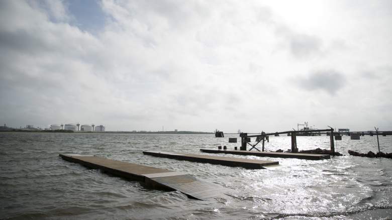
Getty Flooding begins at the Sabine Pass public boat ramps ahead of Hurricane Laura on August 26, 2020 in Sabine Pass, Texas.
Hurricane Laura made landfall at around 1 a.m. Thursday morning near Cameron, Louisiana, according to the National Hurricane Center (NHC). It was classified by the NHC as a high Category 4 hurricane at the time of landfall with “catastrophic storm surge” expected. It was downgraded to a Tropical Storm by noon on August 27, the NHC reported.
Many people are keeping an eye out for storm surge along the coast since the surge is expected to be devastating. Below are some of the early videos and photos of the storm surge that people began sharing ahead of Hurricane Laura’s landfall. As the storm moves further inland, more photos and videos showing the storm surge along the coast will become available.
Photos and videos of the overall damage can be found here.
Photos & Videos of Storm Surge & Damaged Caused by Storm Surge Began Coming in on Thursday Morning
Storm chaser Reed Timmer shared the destruction in Hackberry, Louisiana, which had “evidence of strong storm surge”:
There was a lot of storm surge flooding in the Cameron, Louisiana area:
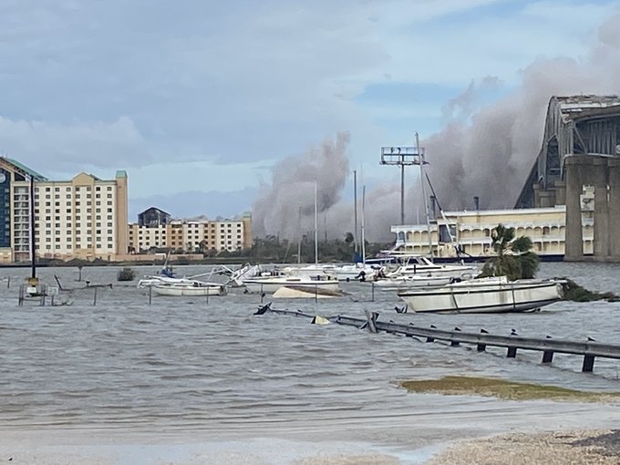
Authorities are warning of a fire at a chemical plant near Lake Charles leading to shelter-in-place orders for Westlake, Moss Bluff and Suplhur. Here is a photo of the smoke with the high water levels:
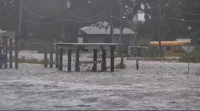
A video from Delcambre, Louisiana, showed deep floodwaters through the town:
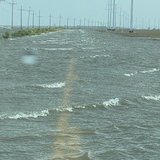
Louisiana Highway 1 is closed just south of the Leon Theriot Lock in Golden Meadow due to flooding:
Photos from Big Lake, Louisiana show water and debris everywhere, with roads “mostly inaccessible”:
The NHC’s Storm Surge unit posted on Thursday morning that “Preliminary data and model simulations indicate that the highest inundation from Hurricane #Laura‘s storm surge occurred east of Cameron, Louisiana, near the communities of Creole and Grand Chenier, where the eastern eyewall moved onshore.”
Photos & Videos of Storm Surge Began Coming in on Wednesday Afternoon & Evening, Hours Before the Hurricane’s Expected Landfall
The hurricane approached the Texas and Louisiana coast after sunset, and once it got dark out, photo and video updates of the storm surge were few and far between. Prior to landfall and sunset, some videos and photos were available of the start of the storm surge, with storm chaser Brian Emfinger sharing a look of the water levels rising over the road at Holly Beach, Louisiana, during the afternoon:
Here’s another video of Holly Beach:
And here is the water coming up Rutherford Beach, east of Holly Beach:
ABC13 shared a video of water coming over the road at High Island in Texas:
The Lafourche Parish Sheriff’s Office shared photos of rising water along Louisiana Highway 1 south of the Leon Theriot Lock in Golden Meadow, prompting the closure of the highway:
One reporter shared that Galveston Bay may have avoided major effects of storm surge:
Officials Warned of an ‘Unsurvivable Storm Surge’ Ahead of Hurricane Laura’s Landfall
On Wednesday morning, the NHC warned that Laura would have an “Unsurvivable storm surge with large and destructive waves” that is expected to cause damage from “Sea Rim State Park, Texas to Intracoastal City, Louisiana including Calcasieu and Sabine Lakes.” The NHC warned that the surge could affect up to 30 miles inland from coastal areas. Shortly after that message, Hurricane Laura increased to a category 4 hurricane with “catastrophic storm surge” to be expected.
The NHC’s storm surge flooding maps and warning areas can be found here.
According to the NHC, storm surges of up to 20ft could occur. National Weather Service meteorologist Benjamin Schott told the BBC, “To think that there would be a wall of water over two storeys high coming on shore is very difficult for most to conceive, but that is what is going to happen.”
He said, “The word ‘unsurvivable’ is not one that we like to use, and it’s one that I’ve never used before.” For coastal areas, storm surge is “often the greatest threat to life and property from a hurricane,” the NHC states on its website. The high death tolls seen in previous hurricanes that have made landfall were often due to storm surge. For example, the NHC writes that “At least 1500 persons lost their lives during Katrina and many of those deaths occurred directly, or indirectly, as a result of storm surge.”
READ NEXT: Hurricane Laura: Watch Live Webcams & Storm Chaser Streams as the Storm Makes Landfall


