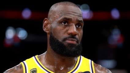
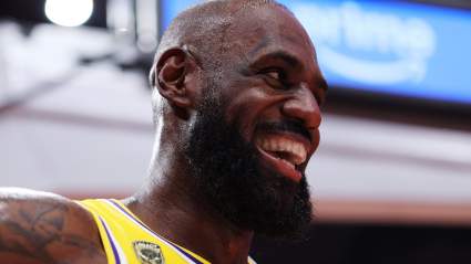
LeBron James Receives Massive Challenge From Tracy McGrady Ahead of Lakers-Thunder Series 12 minutes ago
Arsenal Vs Atlético Madrid Champions League Tension Builds As Arteta Delivers Stark ‘Go And Grab It’ Message 21 minutes ago
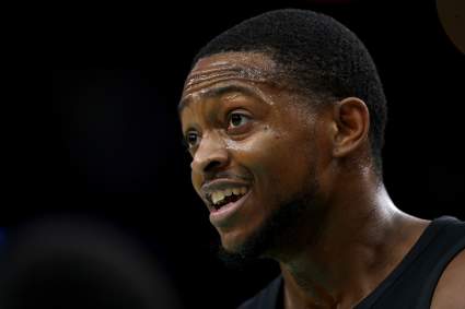
De’Aaron Fox Sends Scathing Statement For Jaden McDaniels After Spurs-Timberwolves Game 1 57 minutes ago