Go to main menu
Go to search form
Heavy
Sports
Alerts
Hi,
Subscriber
Search
Sports
News, stats, rumors, predictions and roster moves around the NFL, NBA, MLB, NHL and more.
More From Sports
Shohei Ohtani Leads Aaron Judge in MLB’s Power Rankings
59 minutes ago
NASCAR Kansas Speedway Entry List Brings Unexpected Twist
1 hour ago
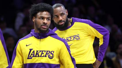
NBA Pundit Makes Brutally Honest Bronny James Admission Ahead Of Lakers Postseason
37 minutes ago
Dillon Brooks Issues Warrning to Warriors Before Play-In Vs. Suns
2 hours ago
Former Atlanta Braves All-Star Announced Retirement From MLB Before Season
44 minutes ago
RBC Heritage Round 1: Åberg Leads as Big Names Fall Behind
2 hours ago
End of an Era: Comerica Park Name Change Coming After 2026 Season
2 hours ago
Bronny James Makes LeBron James Statement Before Lakers-Rockets Playoff Series
2 hours ago
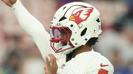
Vikings’ Kyler Murray Gets Honest Words from Former Cardinals Teammate
2 hours ago
John Harbaugh and Joe Schoen Tensions Detailed in New Giants Report
3 hours ago
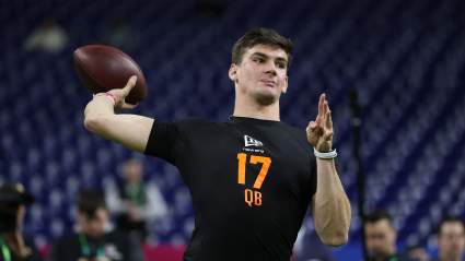
ESPN Analyst Gives Cardinals Strong Ty Simpson-Mike LaFleur Prediction
4 hours ago
Major Hailee Steinfeld Career News Announced After Baby’s Arrival
4 hours ago
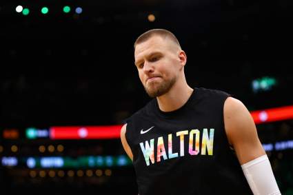
NBA World Reacts To Kristaps Porzingis News Before Warriors-Suns Game
2 hours ago
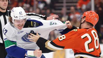
Canucks 2025-26 Season a Success for Critical Reason
4 hours ago
Erik Spoelstra Surprisingly Defends LaMelo Ball Against NBA
4 hours ago
Seahawks GM John Schneider Doesn’t Hold Back on Draft Plans
5 hours ago
Top Linebacker Target Issues Strong Statement on Cowboys
5 hours ago
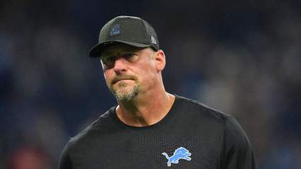
Lions Predicted to Cut Ties With $20 Million Player
5 hours ago
Red Wings Annual Tradition Proves They Were Pretenders
5 hours ago
Trae Young Just Reopened Knicks Fans’ Worst Playoff Wound
5 hours ago
Rangers Could Have Had a Chance this Season If Not for This
5 hours ago
Browns Expected to Make Blockbuster Draft-Day Trade in Top 10
5 hours ago
WWE President Gives Cold Response To Unhappy Fans
5 hours ago
Packers Face $14 Million Contract Problem With Lukas Van Ness: Analyst
5 hours ago
Padres Are “Showcasing” Fernando Tatis Jr For Potential Trade, Says One MLB Analyst
5 hours ago
Maple Leafs 2025-26 Season Squandered Unless This Happens
5 hours ago
Bears Get Blunt Take on No. 25 Draft Pick Plans From ESPN’s Field Yates
6 hours ago
Major Reason For Shocking AEW World Title Change Revealed
6 hours ago
MLB World Reacts To Anthony Volpe’s Performance In Yankees Minor League Game
4 hours ago
Chiefs Predicted to Replace Bryan Cook With Ultra-Athletic Safety in NFL Draft
6 hours ago
More from Sports
Load More Sports ↓
Close sidebar
Home
NFL
Expand sub-menu
Arizona Cardinals
Atlanta Falcons
Baltimore Ravens
Buffalo Bills
Carolina Panthers
Cincinnati Bengals
Cleveland Browns
Chicago Bears
Dallas Cowboys
Denver Broncos
Detroit Lions
Green Bay Packers
Houston Texans
Indianapolis Colts
Jacksonville Jaguars
Kansas City Chiefs
Los Angeles Chargers
Los Angeles Rams
Las Vegas Raiders
Miami Dolphins
Minnesota Vikings
New England Patriots
New Orleans Saints
New York Giants
New York Jets
Philadelphia Eagles
Pittsburgh Steelers
San Francisco 49ers
Seattle Seahawks
Tampa Bay Buccaneers
Tennessee Titans
Washington Commanders
NBA
Expand sub-menu
Atlanta Hawks
Boston Celtics
Brooklyn Nets
Charlotte Hornets
Chicago Bulls
Cleveland Cavaliers
Dallas Mavericks
Denver Nuggets
Detroit Pistons
Golden State Warriors
Houston Rockets
Indiana Pacers
Los Angeles Clippers
Los Angeles Lakers
Memphis Grizzlies
Miami Heat
Milwaukee Bucks
Minnesota Timberwolves
New Orleans Pelicans
New York Knicks
Oklahoma City Thunder
Orlando Magic
Philadelphia 76ers
Phoenix Suns
Portland Trail Blazers
Sacramento Kings
San Antonio Spurs
Toronto Raptors
Utah Jazz
Washington Wizards
MLB
Expand sub-menu
Arizona Diamondbacks
Athletics
Atlanta Braves
Baltimore Orioles
Boston Red Sox
Chicago Cubs
Chicago White Sox
Cincinnati Reds
Cleveland Guardians
Colorado Rockies
Detroit Tigers
Houston Astros
Kansas City Royals
Los Angeles Angels
Los Angeles Dodgers
Miami Marlins
Milwaukee Brewers
Minnesota Twins
New York Mets
New York Yankees
Philadelphia Phillies
Pittsburgh Pirates
San Diego Padres
San Francisco Giants
Seattle Mariners
St. Louis Cardinals
Tampa Bay Rays
Texas Rangers
Toronto Blue Jays
Washington Nationals
NHL
Expand sub-menu
Anaheim Ducks
Boston Bruins
Buffalo Sabres
Calgary Flames
Carolina Hurricanes
Chicago Blackhawks
Colorado Avalanche
Columbus Blue Jackets
Dallas Stars
Detroit Red Wings
Edmonton Oilers
Florida Panthers
Los Angeles Kings
Minnesota Wild
Montreal Canadiens
Nashville Predators
New Jersey Devils
New York Islanders
New York Rangers
Ottawa Senators
Philadelphia Flyers
Pittsburgh Penguins
San Jose Sharks
Seattle Kraken
St. Louis Blues
Tampa Bay Lightning
Toronto Maple Leafs
Utah Mammoth
Vancouver Canucks
Vegas Golden Knights
Washington Capitals
Winnipeg Jets
More Sports
Expand sub-menu
College Basketball
College Football
Cricket
Formula 1
Golf
NASCAR
UFC
WNBA
Olympics
Pro Wrestling
Tennis