Chiefs Urged to Sign 27-TD Veteran Wide Receiver Amid ‘Confusing’ Rashee Rice Situation 25 minutes ago
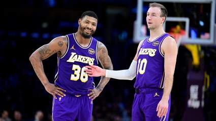
Lakers Make Decision on Marcus Smart and Luke Kennard as Rui Hachimura Faces Uncertain Future 40 minutes ago