Go to main menu
Go to search form
Heavy
Sports
Alerts
Hi,
Subscriber
Search
Sports
News, stats, rumors, predictions and roster moves around the NFL, NBA, MLB, NHL and more.
More From Sports
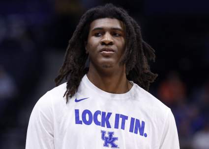
Lakers Monitoring “Wildly Polarizing” Forward to Transform Frontcourt
2 minutes ago
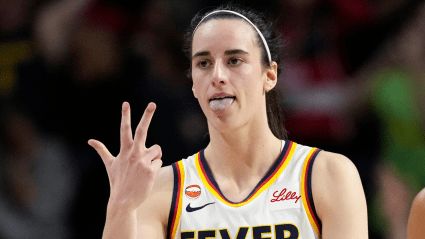
Caitlin Clark Posts Reaction to Prestigious WNBA Announcement
4 minutes ago
Vikings Suitor for $5 Million QB Before Kyler Murray Ever Takes Snap
18 minutes ago
Commanders Tagged as Best Fit for 5-Time All-Pro WR as Brandon Aiyuk Alternative
28 minutes ago
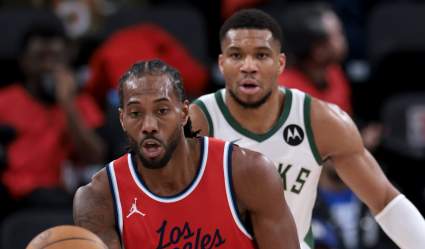
Report: Insider Reveals Clippers Role In Rumored 3-Team Giannis Trade
29 minutes ago
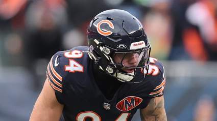
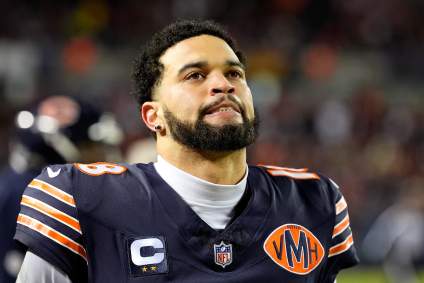
Bears’ Season Could Make, Break on Shoulders of Unlikely 3rd-Year Player
50 minutes ago
Argentina Star Lionel Messi Sends Emotional Message After Latest Victory
1 hour ago
Packers Bring Back Young Tight End Who Failed Physical Last Month
1 hour ago
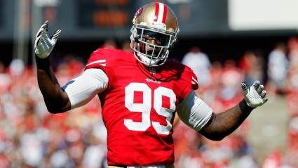
Former 49ers’ Alex Boone Shares Emotional Message on Aldon Smith
1 hour ago
Exclusive: Andrei Svechnikov Reveals Key to Hurricanes’ Dominant Stanley Cup Run
1 hour ago
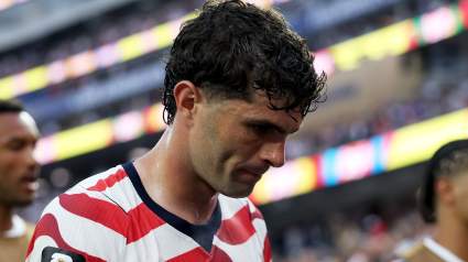
US Team Offers Cryptic Christian Pulisic Injury Update at World Cup
1 hour ago
Ex-Browns Receiver Lands Deal With Bears
2 hours ago
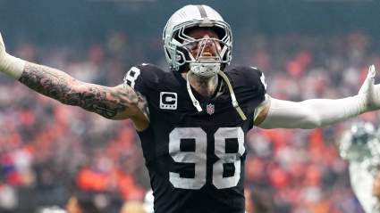
Raiders Get Blunt Maxx Crosby Message Before 2026 Season
2 hours ago
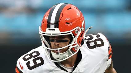
Browns Eyeing Former All-Conference Pass-Rusher After Myles Garrett Trade
2 hours ago
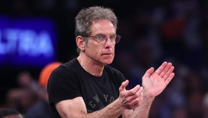
Knicks Fan Ben Stiller Makes Bold Statement About Hollywood And NBA Finals
2 hours ago
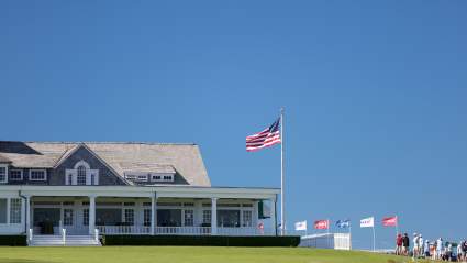
Why Shinnecock Hills Holds a Special Place in U.S. Open History
2 hours ago
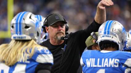
Lions Add Championship Experience, Featuring Former NFC North Rival
3 hours ago
Lakers Urged to Take Risk on Polarizing Center With Elite Defensive Upside
3 hours ago
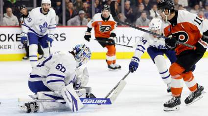
Maple Leafs Fans React To Explosive Goalie Trade With Flyers
3 hours ago
Caleb Williams Just Said Something Packers Fans Will Appreciate
4 hours ago
Flyers Steal Goalie From Conference Rival In Blockbuster Trade
4 hours ago
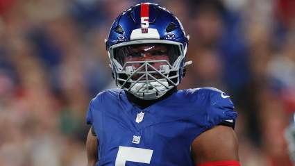
Giants Offense’s Best- and Worst-Case Scenarios All Tie Back to Jaxson Dart
4 hours ago
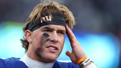
Giants Issued Major Kayvon Thibodeaux Take Amid Seahawks Speculation
4 hours ago
Vikings Beloved Safety Sends Clear Message to Rookie
4 hours ago
Browns Warned Over Brendan Sorsby Situation
5 hours ago
4-Year New York Yankees Player Still Playing In Japan
5 hours ago
Cardinals Prospect Makes Case for MLB Promotion with Big Night
5 hours ago
Dolphins Land Big Jordyn Brooks Take Amid Cowboys Speculation
5 hours ago
Atlanta Braves World Series Champion Is Still Playing In South Korea
5 hours ago
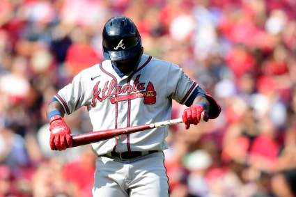
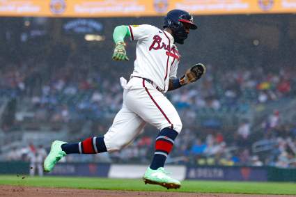
Braves Provide Injury Update on Michael Harris II After Giants Game is Suspended
6 hours ago
More from Sports
Load More Sports ↓
Close sidebar
Home
NFL
Expand sub-menu
Arizona Cardinals
Atlanta Falcons
Baltimore Ravens
Buffalo Bills
Carolina Panthers
Cincinnati Bengals
Cleveland Browns
Chicago Bears
Dallas Cowboys
Denver Broncos
Detroit Lions
Green Bay Packers
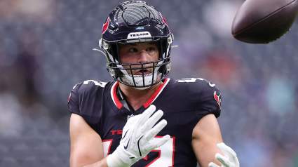
Houston Texans
Indianapolis Colts
Jacksonville Jaguars
Kansas City Chiefs
Los Angeles Chargers
Los Angeles Rams
Las Vegas Raiders
Miami Dolphins
Minnesota Vikings
New England Patriots
New Orleans Saints
New York Giants
New York Jets
Philadelphia Eagles
Pittsburgh Steelers
San Francisco 49ers
Seattle Seahawks
Tampa Bay Buccaneers
Tennessee Titans
Washington Commanders
NBA
Expand sub-menu
Atlanta Hawks
Boston Celtics
Brooklyn Nets
Charlotte Hornets
Chicago Bulls
Cleveland Cavaliers
Dallas Mavericks
Denver Nuggets
Detroit Pistons
Golden State Warriors
Houston Rockets
Indiana Pacers
Los Angeles Clippers
Los Angeles Lakers
Memphis Grizzlies
Miami Heat
Milwaukee Bucks
Minnesota Timberwolves
New Orleans Pelicans
New York Knicks
Oklahoma City Thunder
Orlando Magic
Philadelphia 76ers
Phoenix Suns
Portland Trail Blazers
Sacramento Kings
San Antonio Spurs
Toronto Raptors
Utah Jazz
Washington Wizards
MLB
Expand sub-menu
Arizona Diamondbacks
Athletics
Atlanta Braves
Baltimore Orioles
Boston Red Sox
Chicago Cubs
Chicago White Sox
Cincinnati Reds
Cleveland Guardians
Colorado Rockies
Detroit Tigers
Houston Astros
Kansas City Royals
Los Angeles Angels
Los Angeles Dodgers
Miami Marlins
Milwaukee Brewers
Minnesota Twins
New York Mets
New York Yankees
Philadelphia Phillies
Pittsburgh Pirates
San Diego Padres
San Francisco Giants
Seattle Mariners
St. Louis Cardinals
Tampa Bay Rays
Texas Rangers
Toronto Blue Jays
Washington Nationals
NHL
Expand sub-menu
Anaheim Ducks
Boston Bruins
Buffalo Sabres
Calgary Flames
Carolina Hurricanes
Chicago Blackhawks
Colorado Avalanche
Columbus Blue Jackets
Dallas Stars
Detroit Red Wings
Edmonton Oilers
Florida Panthers
Los Angeles Kings
Minnesota Wild
Montreal Canadiens
Nashville Predators
New Jersey Devils
New York Islanders
New York Rangers
Ottawa Senators
Philadelphia Flyers
Pittsburgh Penguins
San Jose Sharks
Seattle Kraken
St. Louis Blues
Tampa Bay Lightning
Toronto Maple Leafs
Utah Mammoth
Vancouver Canucks
Vegas Golden Knights
Washington Capitals
Winnipeg Jets
More Sports
Expand sub-menu
College Basketball
College Football
Cricket
Formula 1
Golf
NASCAR
UFC
WNBA
Olympics
Pro Wrestling
Heavy on Soccer
Tennis