Go to main menu
Go to search form
Heavy
Sports
Alerts
Hi,
Subscriber
Search
Sports
News, stats, rumors, predictions and roster moves around the NFL, NBA, MLB, NHL and more.
More From Sports
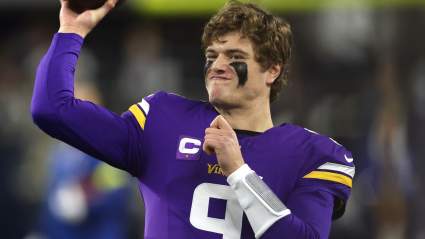
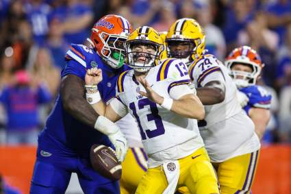
Vikings Predicted to Draft 3,600-Yard, 33-TD QB in 2027
20 minutes ago
Baltimore Ravens Controversial Decision Draws Massive Backlash From Angry Fans
33 minutes ago
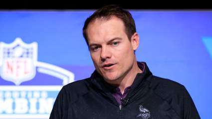
Vikings’ Top Draft Picks Get Major Career Message
48 minutes ago
Taylor Swift, Travis Kelce Kentucky Derby Rumor Gains Major Traction
40 minutes ago
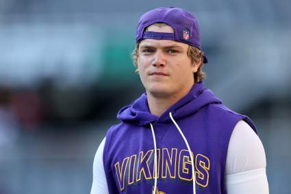
Vikings QB J.J. McCarthy’s Future Grows Even More Concerning
1 hour ago
NFL World Reacts to Latest Injury News on Broncos’ Bo Nix
1 hour ago
Packers Named Potential Suitor for $15.8 Million Jordan Love Weapon
2 hours ago
Cowboys Get Props for Micah Parsons Trade After NFL Draft
2 hours ago
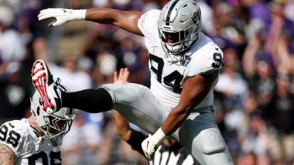
Raiders’ Ashton Jeanty Gets Blunt About Mike Washington Jr. Pick
2 hours ago
Red Sox Hall Of Famer Makes Blunt Statement About Mets’ Marcus Semien
2 hours ago
Former World Series Champion Is Playing For New York Yankees Minor League Team
2 hours ago
Yankees Surprising Prospect Decision Puts Anthony Volpe on Notice
3 hours ago
Kansei Matsuzawa Shares True Thoughts After Signing With Raiders
3 hours ago
Bears Can Pursue Controversial $100 Million DT After Weak D-Line Draft
4 hours ago
Red Wings Offseason Storylines to Watch in 2026
4 hours ago
Vikings Advised to Add $100 Talent to Fill Roster Hole
2 hours ago
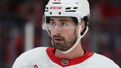
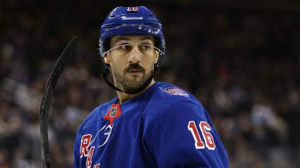
Rangers Would Do Well to Hold onto Trocheck This Summer
4 hours ago
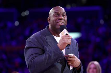
Magic Johnson Apologizes to Philadelphia 76ers After Their Game 5 Win
4 hours ago
Bears New CB Malik Muhammad Breaks Silence on Viral Clip
4 hours ago
NHL Signings: 3 Huge RFA Contracts to Watch in 2026 Offseason
4 hours ago
Cowboys Praised for Draft Pick ‘Steal’ With 6-foot-4, 240-Pound Edge Rusher
4 hours ago
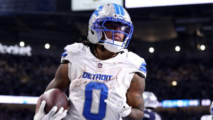
Lions News Emerges on Jahmyr Gibbs’ Future in Detroit
4 hours ago
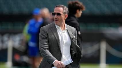
Eagles GM Earns High Praise Following 2026 NFL Draft
4 hours ago
Joel Embiid Finally Tilts Celtics-Sixers Series in Surprising Game 5
5 hours ago
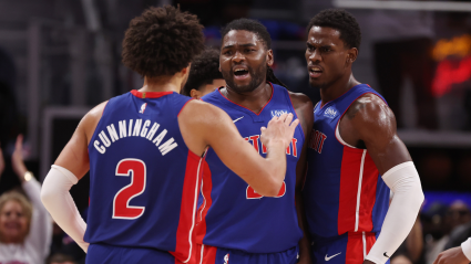
Cade Cunningham Calls Out Pistons Teammates To Step Up
5 hours ago
Chicago Cubs Announce Dansby Swanson Injury During Padres Game
2 hours ago
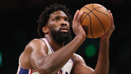
Joel Embiid Gets Major Praise for Dominating 76ers-Celtics Game 5
5 hours ago
Donald Trump Interrupts White House Speech to Praise Rory McIlroy at King Charles Dinner
5 hours ago
Bears Pushed to Sign $80 Million Player After Overlooking Key Need
5 hours ago
New York Yankees Make Anthony Volpe Decision As Return Looms
5 hours ago
More from Sports
Load More Sports ↓
Close sidebar
Home
NFL
Expand sub-menu
Arizona Cardinals
Atlanta Falcons
Baltimore Ravens
Buffalo Bills
Carolina Panthers
Cincinnati Bengals
Cleveland Browns
Chicago Bears
Dallas Cowboys
Denver Broncos
Detroit Lions
Green Bay Packers
Houston Texans
Indianapolis Colts
Jacksonville Jaguars
Kansas City Chiefs
Los Angeles Chargers
Los Angeles Rams
Las Vegas Raiders
Miami Dolphins
Minnesota Vikings
New England Patriots
New Orleans Saints
New York Giants
New York Jets
Philadelphia Eagles
Pittsburgh Steelers
San Francisco 49ers
Seattle Seahawks
Tampa Bay Buccaneers
Tennessee Titans
Washington Commanders
NBA
Expand sub-menu
Atlanta Hawks
Boston Celtics
Brooklyn Nets
Charlotte Hornets
Chicago Bulls
Cleveland Cavaliers
Dallas Mavericks
Denver Nuggets
Detroit Pistons
Golden State Warriors
Houston Rockets
Indiana Pacers
Los Angeles Clippers
Los Angeles Lakers
Memphis Grizzlies
Miami Heat
Milwaukee Bucks
Minnesota Timberwolves
New Orleans Pelicans
New York Knicks
Oklahoma City Thunder
Orlando Magic
Philadelphia 76ers
Phoenix Suns
Portland Trail Blazers
Sacramento Kings
San Antonio Spurs
Toronto Raptors
Utah Jazz
Washington Wizards
MLB
Expand sub-menu
Arizona Diamondbacks
Athletics
Atlanta Braves
Baltimore Orioles
Boston Red Sox
Chicago Cubs
Chicago White Sox
Cincinnati Reds
Cleveland Guardians
Colorado Rockies
Detroit Tigers
Houston Astros
Kansas City Royals
Los Angeles Angels
Los Angeles Dodgers
Miami Marlins
Milwaukee Brewers
Minnesota Twins
New York Mets
New York Yankees
Philadelphia Phillies
Pittsburgh Pirates
San Diego Padres
San Francisco Giants
Seattle Mariners
St. Louis Cardinals
Tampa Bay Rays
Texas Rangers
Toronto Blue Jays
Washington Nationals
NHL
Expand sub-menu
Anaheim Ducks
Boston Bruins
Buffalo Sabres
Calgary Flames
Carolina Hurricanes
Chicago Blackhawks
Colorado Avalanche
Columbus Blue Jackets
Dallas Stars
Detroit Red Wings
Edmonton Oilers
Florida Panthers
Los Angeles Kings
Minnesota Wild
Montreal Canadiens
Nashville Predators
New Jersey Devils
New York Islanders
New York Rangers
Ottawa Senators
Philadelphia Flyers
Pittsburgh Penguins
San Jose Sharks
Seattle Kraken
St. Louis Blues
Tampa Bay Lightning
Toronto Maple Leafs
Utah Mammoth
Vancouver Canucks
Vegas Golden Knights
Washington Capitals
Winnipeg Jets
More Sports
Expand sub-menu
College Basketball
College Football
Cricket
Formula 1
Golf
NASCAR
UFC
WNBA
Olympics
Pro Wrestling
Tennis