Go to main menu
Go to search form
Heavy
Sports
Alerts
Hi,
Subscriber
Search
Sports
News, stats, rumors, predictions and roster moves around the NFL, NBA, MLB, NHL and more.
More From Sports
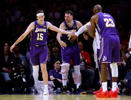
Lakers Big Three Putting Pressure On Team To Sign Role Player
2 minutes ago
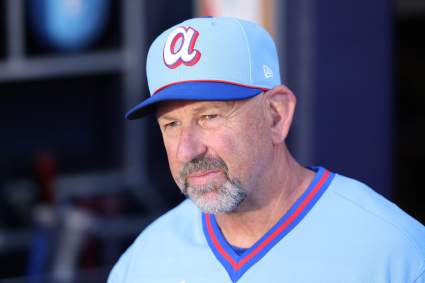
Atlanta Braves Make Notable Roster Decision After Nationals Game
1 minute ago
5 NASCAR Drivers to Watch at Talladega — Including the Season’s Hottest Star
9 minutes ago
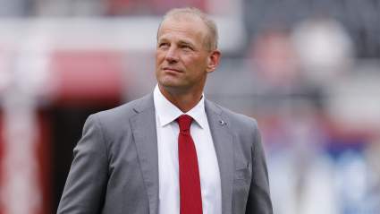
What Kalen DeBoer and Greg Byrne Really Said About Alabama’s Contract Extension
17 minutes ago
Cowboys Reveal Plans on Trading Picks in NFL Draft
18 minutes ago
Seahawks Insider Predicts ‘Stout’ Luxury Pick in Round 1
23 minutes ago
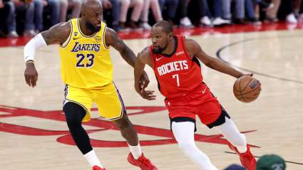
LeBron James Warns Lakers About Kevin Durant Before Game 3 vs Rockets
32 minutes ago
Canucks Request Permission to Speak with Leafs Exec, Report
36 minutes ago
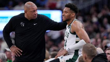
Doc Rivers Blames Giannis Drama For Bucks Failed Season
38 minutes ago
Brandon Ingram Gets Real on Struggles With Game 3 Looming
51 minutes ago
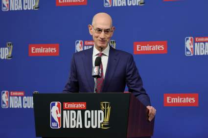
Adam Silver Wants to See Memphis Grizzlies Play Some Games in Nashville
49 minutes ago
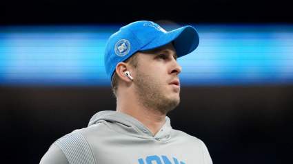
Fans Erupt As Lions QB Jared Goff Surprises With Special Local Appearance
55 minutes ago
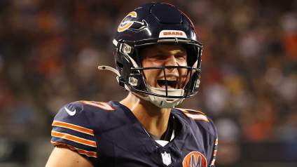
Trade Talks on Bears QB Tyson Bagent Pick Up, as Playoff Team Emerges as Suitor
56 minutes ago
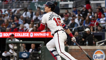
Braves May Need Platoon Fix as Mike Yastrzemski Struggles
1 hour ago
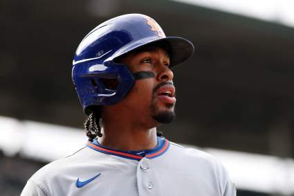
New York Mets Make Francisco Lindor Announcement During Twins Game
44 minutes ago
Kon Knueppel Gains Unexpected Rookie Of The Year Advantage
1 hour ago
Nikola Jokic Contract Situation With Nuggets Gets Explanation
2 hours ago
Lions Trade Pitch Finally Brings Maxx Crosby to Detroit
2 hours ago
Jaxson Hayes Likely To Sign New Lakers Contract Due To Luka Friendship
2 hours ago
Former New York Yankees Player Released By New MLB Team
2 hours ago
Raiders Get Blunt Message Tied to Tom Brady, Fernando Mendoza
2 hours ago
Stefon Diggs Faces New Legal Problem Amid Free Agency
2 hours ago
Bruins Announce One-Year Contract Extension For Defenseman
2 hours ago
NFL Draft Analyst Advises Panthers Not To Overthink First Round Pick
2 hours ago
Barca Star Lamine Yamal Suffers Horrible Injury Just Months Before World Cup
2 hours ago
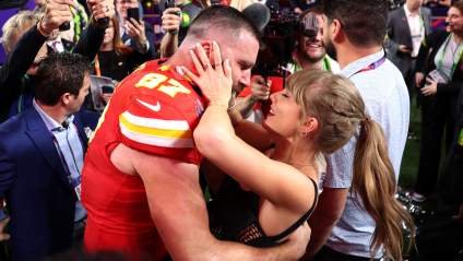
Travis Kelce’s Announcement Confirms Taylor Swift Wedding Report
2 hours ago
Saints Have Strong NFL Draft Track Record, Study Shows
2 hours ago
More Incriminating Hotel Photos Released of Mike Vrabel, Dianna Russini
2 hours ago
Browns Hammered for ‘Protecting’ Deshaun Watson Over Camp Fallout
2 hours ago
Lions WR Amon-Ra St. Brown Warns The NFL With His Offseason Training
2 hours ago
More from Sports
Load More Sports ↓
Close sidebar
Home
NFL
Expand sub-menu
Arizona Cardinals
Atlanta Falcons
Baltimore Ravens
Buffalo Bills
Carolina Panthers
Cincinnati Bengals
Cleveland Browns
Chicago Bears
Dallas Cowboys
Denver Broncos
Detroit Lions
Green Bay Packers
Houston Texans
Indianapolis Colts
Jacksonville Jaguars
Kansas City Chiefs
Los Angeles Chargers
Los Angeles Rams
Las Vegas Raiders
Miami Dolphins
Minnesota Vikings
New England Patriots
New Orleans Saints
New York Giants
New York Jets
Philadelphia Eagles
Pittsburgh Steelers
San Francisco 49ers
Seattle Seahawks
Tampa Bay Buccaneers
Tennessee Titans
Washington Commanders
NBA
Expand sub-menu
Atlanta Hawks
Boston Celtics
Brooklyn Nets
Charlotte Hornets
Chicago Bulls
Cleveland Cavaliers
Dallas Mavericks
Denver Nuggets
Detroit Pistons
Golden State Warriors
Houston Rockets
Indiana Pacers
Los Angeles Clippers
Los Angeles Lakers
Memphis Grizzlies
Miami Heat
Milwaukee Bucks
Minnesota Timberwolves
New Orleans Pelicans
New York Knicks
Oklahoma City Thunder
Orlando Magic
Philadelphia 76ers
Phoenix Suns
Portland Trail Blazers
Sacramento Kings
San Antonio Spurs
Toronto Raptors
Utah Jazz
Washington Wizards
MLB
Expand sub-menu
Arizona Diamondbacks
Athletics
Atlanta Braves
Baltimore Orioles
Boston Red Sox
Chicago Cubs
Chicago White Sox
Cincinnati Reds
Cleveland Guardians
Colorado Rockies
Detroit Tigers
Houston Astros
Kansas City Royals
Los Angeles Angels
Los Angeles Dodgers
Miami Marlins
Milwaukee Brewers
Minnesota Twins
New York Mets
New York Yankees
Philadelphia Phillies
Pittsburgh Pirates
San Diego Padres
San Francisco Giants
Seattle Mariners
St. Louis Cardinals
Tampa Bay Rays
Texas Rangers
Toronto Blue Jays
Washington Nationals
NHL
Expand sub-menu
Anaheim Ducks
Boston Bruins
Buffalo Sabres
Calgary Flames
Carolina Hurricanes
Chicago Blackhawks
Colorado Avalanche
Columbus Blue Jackets
Dallas Stars
Detroit Red Wings
Edmonton Oilers
Florida Panthers
Los Angeles Kings
Minnesota Wild
Montreal Canadiens
Nashville Predators
New Jersey Devils
New York Islanders
New York Rangers
Ottawa Senators
Philadelphia Flyers
Pittsburgh Penguins
San Jose Sharks
Seattle Kraken
St. Louis Blues
Tampa Bay Lightning
Toronto Maple Leafs
Utah Mammoth
Vancouver Canucks
Vegas Golden Knights
Washington Capitals
Winnipeg Jets
More Sports
Expand sub-menu
College Basketball
College Football
Cricket
Formula 1
Golf
NASCAR
UFC
WNBA
Olympics
Pro Wrestling
Tennis