Jimmie Johnson Sparks Speculation With Cryptic Post About Legacy Motor Club’s Next Driver 59 minutes ago
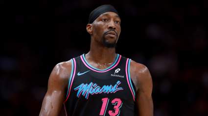
Miami Heat Trade Bam Adebayo to Hornets for Multiple Players, Picks in Proposed Blockbuster 1 hour ago
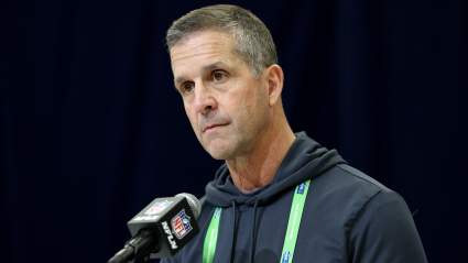
Report Raises New Questions About Dianna Russini’s Exit From The Athletic Amid Vrabel Rumors 2 hours ago