Go to main menu
Go to search form
Heavy
Sports
Alerts
Hi,
Subscriber
Search
Sports
News, stats, rumors, predictions and roster moves around the NFL, NBA, MLB, NHL and more.
More From Sports
Giants Send $22 Million Starter to Bullpen Amid Struggles
1 minute ago
Cowboys’ ‘Other’ 1st-Rounder Turning Heads as Big Question Looms
4 minutes ago
Saudi Arabia World Cup Squad 2026: All 26 Players And Their Clubs
6 minutes ago
Manel Kape Reveals Timeline for UFC Flyweight Title Shot
10 minutes ago
Yankees Get Blunt Trade Deadline Take on Giants’ Matt Chapman
29 minutes ago
Dodgers Get Bold Trade Deadline Take on Mets SP Freddy Peralta
2 hours ago
Packers Trade Pitch Secures $34 Million Jordan Love Backup With High Upside
2 hours ago
Bears Trade Pitch Lands 2-Time Pro Bowler to Replace Grady Jarrett
2 hours ago
Cardinals, Vikings Get Compelling Trade Pitch Involving J.J. McCarthy
3 hours ago
Steelers New Fan Favorite Pegged Cut Candidate
4 hours ago
Bold Kyler Murray Narrative Gaining Steam Before Vikings Training Camp
4 hours ago
Eagles Insider Doesn’t Hold Back on Saquon Barkley Ahead of Training Camp
4 hours ago
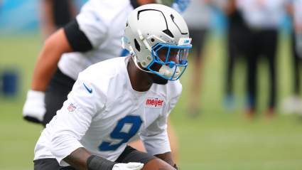
Lions 260-Pound Rookie Deemed Team’s Biggest X-Factor for 2026
4 hours ago
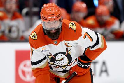
Radko Gudas Sends Blunt Message on Maple Leafs Interest
5 hours ago
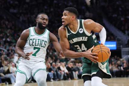
Celtics’ Giannis Trade Odds Improves After New Jaylen Brown Report
5 hours ago
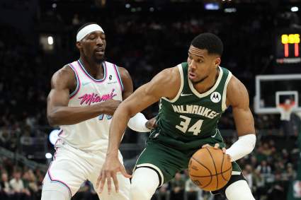
Miami Heat’s 3 Different Giannis Trade Packages Revealed
6 hours ago
MLB Fans React To New York Yankees Demoting 5-Year Player During Reds Series
6 hours ago
Knicks Could Be Facing Nightmare Mitchell Robinson Scenario
6 hours ago
Chicago Cubs Cut 2-Year MLB Player During Blue Jays Series
6 hours ago
Lakers Linked to Intriguing UConn Big Man Ahead of NBA Draft
7 hours ago
Dana White: Elon Musk vs. Mark Zuckerberg UFC Fight Was Real
7 hours ago
Braves May Have $212 Million Problem In Austin Riley
7 hours ago
Dana White Shares Take on Illegal Strikes in Pereira vs. Gane Fight
7 hours ago
Colts 17-Tackle Defender Tabbed X-Factor Ahead of 2026
8 hours ago
The Cubs Have An All-Star Not Named Pete Crow-Armstrong Or Ian Happ
8 hours ago
Lakers Receive Bad News on Center Target Amid Luka Doncic’s Biggest Request
7 hours ago
Falcons Land Strong Jessie Bates III Take Amid 49ers Speculation
8 hours ago
Kyoji Horiguchi Issues Statement After KO Loss to Manel Kape
8 hours ago
Who Are the Best Players on Tunisia’s 2026 World Cup Squad?
8 hours ago
Manel Kape Wants to Break Derrick Lewis’ UFC Knockout Record
8 hours ago
More from Sports
Load More Sports ↓
Close sidebar
Home
NFL
Expand sub-menu
Arizona Cardinals
Atlanta Falcons
Baltimore Ravens
Buffalo Bills
Carolina Panthers
Cincinnati Bengals
Cleveland Browns
Chicago Bears
Dallas Cowboys
Denver Broncos
Detroit Lions
Green Bay Packers
Houston Texans
Indianapolis Colts
Jacksonville Jaguars
Kansas City Chiefs
Los Angeles Chargers
Los Angeles Rams
Las Vegas Raiders
Miami Dolphins
Minnesota Vikings
New England Patriots
New Orleans Saints
New York Giants
New York Jets
Philadelphia Eagles
Pittsburgh Steelers
San Francisco 49ers
Seattle Seahawks
Tampa Bay Buccaneers
Tennessee Titans
Washington Commanders
NBA
Expand sub-menu
Atlanta Hawks
Boston Celtics
Brooklyn Nets
Charlotte Hornets
Chicago Bulls
Cleveland Cavaliers
Dallas Mavericks
Denver Nuggets
Detroit Pistons
Golden State Warriors
Houston Rockets
Indiana Pacers
Los Angeles Clippers
Los Angeles Lakers
Memphis Grizzlies
Miami Heat
Milwaukee Bucks
Minnesota Timberwolves
New Orleans Pelicans
New York Knicks
Oklahoma City Thunder
Orlando Magic
Philadelphia 76ers
Phoenix Suns
Portland Trail Blazers
Sacramento Kings
San Antonio Spurs
Toronto Raptors
Utah Jazz
Washington Wizards
MLB
Expand sub-menu
Arizona Diamondbacks
Athletics
Atlanta Braves
Baltimore Orioles
Boston Red Sox
Chicago Cubs
Chicago White Sox
Cincinnati Reds
Cleveland Guardians
Colorado Rockies
Detroit Tigers
Houston Astros
Kansas City Royals
Los Angeles Angels
Los Angeles Dodgers
Miami Marlins
Milwaukee Brewers
Minnesota Twins
New York Mets
New York Yankees
Philadelphia Phillies
Pittsburgh Pirates
San Diego Padres
San Francisco Giants
Seattle Mariners
St. Louis Cardinals
Tampa Bay Rays
Texas Rangers
Toronto Blue Jays
Washington Nationals
NHL
Expand sub-menu
Anaheim Ducks
Boston Bruins
Buffalo Sabres
Calgary Flames
Carolina Hurricanes
Chicago Blackhawks
Colorado Avalanche
Columbus Blue Jackets
Dallas Stars
Detroit Red Wings
Edmonton Oilers
Florida Panthers
Los Angeles Kings
Minnesota Wild
Montreal Canadiens
Nashville Predators
New Jersey Devils
New York Islanders
New York Rangers
Ottawa Senators
Philadelphia Flyers
Pittsburgh Penguins
San Jose Sharks
Seattle Kraken
St. Louis Blues
Tampa Bay Lightning
Toronto Maple Leafs
Utah Mammoth
Vancouver Canucks
Vegas Golden Knights
Washington Capitals
Winnipeg Jets
More Sports
Expand sub-menu
College Basketball
College Football
Cricket
Formula 1
Golf
NASCAR
UFC
WNBA
Olympics
Pro Wrestling
Heavy on Soccer
Tennis