Go to main menu
Go to search form
Heavy
Sports
Alerts
Hi,
Subscriber
Search
Sports
News, stats, rumors, predictions and roster moves around the NFL, NBA, MLB, NHL and more.
More From Sports
Former Chiefs Super Bowl LB Darron Lee Indicted on First-Degree Murder Charge
15 minutes ago
Padres Should Trade For Marlins 1.82 ERA Psycho Reliever
21 minutes ago
Packers’ Latest Free Agency Suggestion Would Help Solve Major Issue
1 hour ago
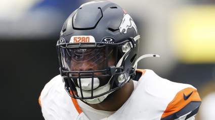
Broncos Get More Bad News About $60 Million Starter After Arrest
1 hour ago
Canada vs. Bosnia and Herzegovina Betting Odds
2 hours ago
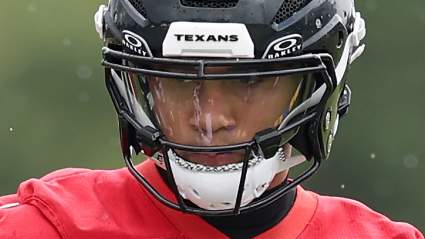
C.J. Stroud Gets Telling Words as Texans Conclude Offseason Program
2 hours ago
Former New York Mets All-Star Struggling With Current MLB Team
2 hours ago
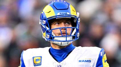
Rams Pro Bowler Tabbed “Under-the-Radar” Star After Garrett Trade
2 hours ago
Justin Verlander Trade Chicago Cubs And Detroit Tigers Must Consider
1 hour ago
South Korea vs Czech Republic Results Today: FIFA World Cup Live Score, Updates, Stats
3 hours ago
Only 5 MLB Hitters Have Done What Alec Burleson Just Accomplished
3 hours ago
Seahawks’ Sam Darnold Gets Honest About Rams’ Matthew Stafford
3 hours ago
Maple Leafs Fans Worried McKenna Might Turn into Yakupov
3 hours ago
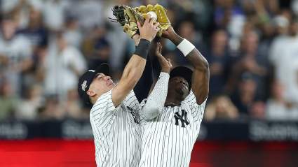
Yankees Personality Says Anthony Volpe Is ‘Making Me Sick’
3 hours ago
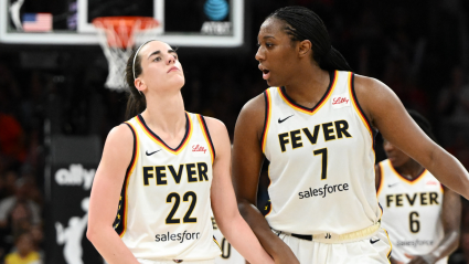
Caitlin Clark and Aliyah Boston Make History in Fever’s Win Against Sky
4 hours ago
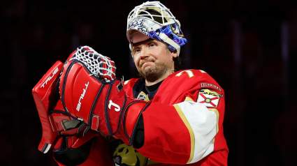
Hurricanes Didn’t Really Need Bobrovsky After All
4 hours ago
Two Frontrunners Emerge As Landing Spots For Oilers’ Darnell Nurse
4 hours ago
Chicago Bulls Cut Ties With 21-Year-Old Rising Star In NBA Mock Trade
4 hours ago
Rashid Shaheed Set for Milestone After Big Seahawks Change
4 hours ago
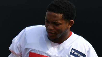
Alabama DL Commit Sends Strong Message Following Official Visit
4 hours ago
New Twist Emerges In Maple Leafs’ Coaching Search
4 hours ago
Leonard Williams Fires Back at Seahawks Doubters After Rams Moves
4 hours ago
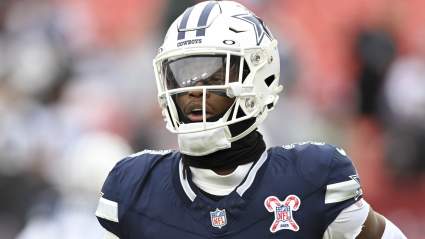
George Pickens’ Cryptic Answer on Cowboys Minicamp Raises Major Concern
4 hours ago
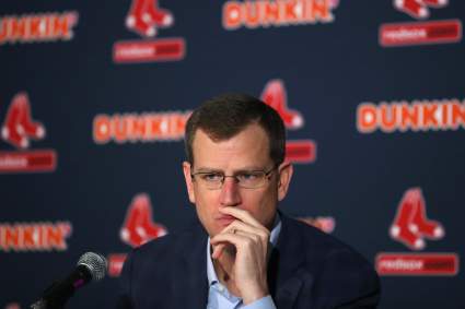
Red Sox CEO Sam Kennedy Admits 2026 Season is ‘Embarrassing,’ May Pivot
4 hours ago
Cleveland Cavaliers Get Bad News About Their Unrestricted Free Agent
5 hours ago
Los Angeles Angels Re-Sign Veteran Starter Following Recent Release
5 hours ago
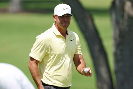
Former US Open Champion Brooks Koepka Tied for the Lead at RBC Canadian Open
5 hours ago
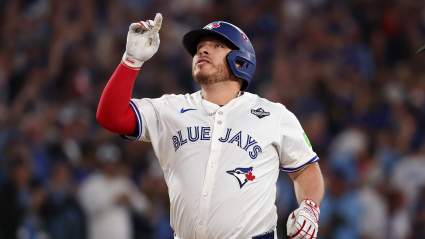
Alejandro Kirk Says He’s Catching for Blue Jays vs. NYY on Friday
5 hours ago
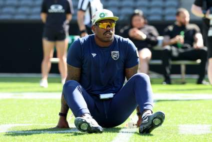
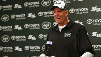
Rex Ryan Is Set to Return at Jets Minicamp, Says Insider
5 hours ago
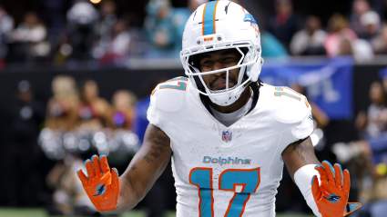
Broncos Special Teams Coordinator Suggests Disastrous Plan for WR Jaylen Waddle
5 hours ago
More from Sports
Load More Sports ↓
Close sidebar
Home
NFL
Expand sub-menu
Arizona Cardinals
Atlanta Falcons
Baltimore Ravens
Buffalo Bills
Carolina Panthers
Cincinnati Bengals
Cleveland Browns
Chicago Bears
Dallas Cowboys
Denver Broncos
Detroit Lions
Green Bay Packers
Houston Texans
Indianapolis Colts
Jacksonville Jaguars
Kansas City Chiefs
Los Angeles Chargers
Los Angeles Rams
Las Vegas Raiders
Miami Dolphins
Minnesota Vikings
New England Patriots
New Orleans Saints
New York Giants
New York Jets
Philadelphia Eagles
Pittsburgh Steelers
San Francisco 49ers
Seattle Seahawks
Tampa Bay Buccaneers
Tennessee Titans
Washington Commanders
NBA
Expand sub-menu
Atlanta Hawks
Boston Celtics
Brooklyn Nets
Charlotte Hornets
Chicago Bulls
Cleveland Cavaliers
Dallas Mavericks
Denver Nuggets
Detroit Pistons
Golden State Warriors
Houston Rockets
Indiana Pacers
Los Angeles Clippers
Los Angeles Lakers
Memphis Grizzlies
Miami Heat
Milwaukee Bucks
Minnesota Timberwolves
New Orleans Pelicans
New York Knicks
Oklahoma City Thunder
Orlando Magic
Philadelphia 76ers
Phoenix Suns
Portland Trail Blazers
Sacramento Kings
San Antonio Spurs
Toronto Raptors
Utah Jazz
Washington Wizards
MLB
Expand sub-menu
Arizona Diamondbacks
Athletics
Atlanta Braves
Baltimore Orioles
Boston Red Sox
Chicago Cubs
Chicago White Sox
Cincinnati Reds
Cleveland Guardians
Colorado Rockies
Detroit Tigers
Houston Astros
Kansas City Royals
Los Angeles Angels
Los Angeles Dodgers
Miami Marlins
Milwaukee Brewers
Minnesota Twins
New York Mets
New York Yankees
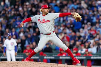
Philadelphia Phillies
Pittsburgh Pirates
San Diego Padres
San Francisco Giants
Seattle Mariners
St. Louis Cardinals
Tampa Bay Rays
Texas Rangers
Toronto Blue Jays
Washington Nationals
NHL
Expand sub-menu
Anaheim Ducks
Boston Bruins
Buffalo Sabres
Calgary Flames
Carolina Hurricanes
Chicago Blackhawks
Colorado Avalanche
Columbus Blue Jackets
Dallas Stars
Detroit Red Wings
Edmonton Oilers
Florida Panthers
Los Angeles Kings
Minnesota Wild
Montreal Canadiens
Nashville Predators
New Jersey Devils
New York Islanders
New York Rangers
Ottawa Senators
Philadelphia Flyers
Pittsburgh Penguins
San Jose Sharks
Seattle Kraken
St. Louis Blues
Tampa Bay Lightning
Toronto Maple Leafs
Utah Mammoth
Vancouver Canucks
Vegas Golden Knights
Washington Capitals
Winnipeg Jets
More Sports
Expand sub-menu
College Basketball
College Football
Cricket
Formula 1
Golf
NASCAR
UFC
WNBA
Olympics
Pro Wrestling
Heavy on Soccer
Tennis