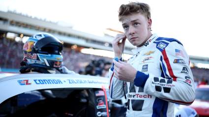
Washington D.C. Weather: Tornado Warnings in MD Nearby

washington d.c. weather

NWS There was a severe thunderstorm warning for Washington D.C.

Washington D.C. was under a severe thunderstorm warning on the afternoon of May 30, 2019. The broader area, especially in Maryland, saw tornado warnings within 30 miles of D.C.

“Severe Thunderstorm Warning including Washington DC, Arlington VA, Alexandria VA until 4:00 PM EDT,” the National Weather Service wrote.

Washington D.C. weather is handled through the Baltimore/Washington D.C. office of the National Weather Service. You can see updated radar and weather forecasts on that page here.

For May 30, 2019, the NWS wrote: “A Severe Thunderstorm Watch is in effect until 9pm this evening for much of northern Virginia and northern Maryland, including portions of the eastern panhandle of West Virginia. Isolated severe thunderstorms with damaging wind gusts, large hail, and an isolated tornado are possible. The greatest risk exists north of the I-64 corridor.”

Here are some of the other recent weather warnings and updates in the region from the NWS serving Washington D.C.:

“Severe Thunderstorm Warning including Waldorf MD, Clinton MD, Fort Washington MD until 4:30 PM EDT.”

“Severe Thunderstorm Warning including Baltimore MD, Columbia MD, Glen Burnie MD until 4:15 PM EDT.”

There were also several tornado warnings in the area on the afternoon of May 30, but they expired.

“Tornado Warning including Columbia MD, Severn MD, Scaggsville MD until 3:45 PM EDT.”

“Tornado Warning including Frederick MD, Walkersville MD, Middletown MD until 3:00 PM EDT.”

The Baltimore/DC NWS office wrote: “Another very warm day is expected today with scattered showers & thunderstorms developing across portions of the region this afternoon & evening. The greatest risk of severe thunderstorms is in the area shaded in yellow. Locally damaging winds and large hail are the main threats.”

The extended forecast for the region is as follows, per the National Weather Service:

“This Afternoon (May 30)
Showers likely and possibly a thunderstorm. Some of the storms could produce small hail and gusty winds. Mostly cloudy, with a high near 85. Southwest wind around 9 mph. Chance of precipitation is 70%. New rainfall amounts between a quarter and half of an inch possible.

Tonight
Showers and thunderstorms likely before midnight, then a slight chance of showers between midnight and 2am. Some of the storms could produce small hail and gusty winds. Mostly cloudy, with a low around 63. West wind 7 to 10 mph. Chance of precipitation is 60%. New precipitation amounts between a tenth and quarter of an inch, except higher amounts possible in thunderstorms.

Friday
Mostly sunny, with a high near 82. West wind around 6 mph.

Friday Night
Partly cloudy, with a low around 61. Northwest wind around 5 mph becoming calm in the evening.

Saturday
A chance of showers and thunderstorms after 2pm. Sunny, with a high near 84. Calm wind becoming west around 5 mph in the afternoon. Chance of precipitation is 30%.

Saturday Night
A chance of showers and thunderstorms before 2am, then a slight chance of showers. Mostly cloudy, with a low around 63. Chance of precipitation is 30%.

Sunday
Showers likely, with thunderstorms also possible after 2pm. Partly sunny, with a high near 79. Chance of precipitation is 60%.”