Go to main menu
Go to search form
Heavy
Sports
Alerts
Hi,
Subscriber
Search
Sports
News, stats, rumors, predictions and roster moves around the NFL, NBA, MLB, NHL and more.
More From Sports
Detroit Tigers Announce Kevin McGonigle Lineup Decision vs. Yankees
3 minutes ago
Brian Burke Being Inducted Into Hockey Hall of Fame
3 minutes ago
Cincinnati Reds Make Massive Decision on Veteran Starter Chris Paddack
10 minutes ago
Atlanta Braves Announce Release Of Player Before Padres Series
40 seconds ago
Astros’ Star Declines Home Run Derby Amid MVP-Caliber Season
13 minutes ago
Rams 11.5 Sack Defender Tabbed “Hidden Gem” Before 2026 Season
17 minutes ago
Case Closed After Investigation Into Jets QB Geno Smith
19 minutes ago
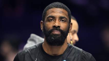
Kyrie Irving Sends Message as Stephen Curry, Jalen Brunson Join NBPA Campaign
20 minutes ago
Raptors Interested in Milwaukee Bucks Big Man
20 minutes ago
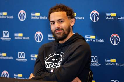
Trae Young’s Washington Wizards Future Now Sealed With New Contract
22 minutes ago
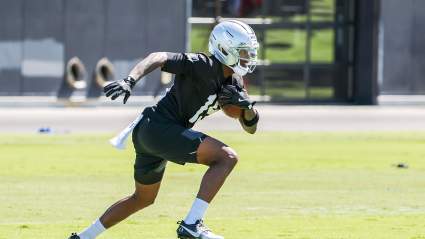
Raiders Get Good News on Rookie Flying Under the Radar
28 minutes ago
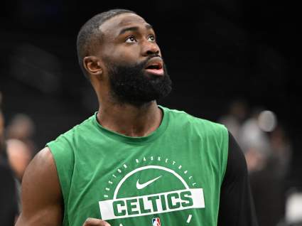
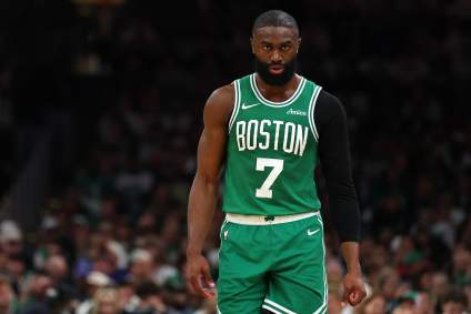
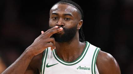
Miami Heat Encouraged To Target Jaylen Brown Trade
28 minutes ago
Blue Jays Infielder Takes Unexpected Lead in AL All-Star Voting
26 minutes ago
Cleveland Cavaliers Announce Decision on 4th-Year Guard Before NBA Draft
30 minutes ago
New York Yankees Announce Roster Decision Before Tigers Series
18 minutes ago
Ottawa Senators Targeting Young Anaheim Ducks Star After Brady Tkachuk Trade
36 minutes ago
Pelicans Linked To All-Time Embarrassing Trey Murphy Trade Idea
39 minutes ago
Commanders Trade Pitch Lands $29 Million AFC Wide Receiver
40 minutes ago
Mavs Reportedly Aiming to Trade Starting Center Before 2026 NBA Draft
43 minutes ago
Chiefs’ Rookie Could Send Ripple Effect Throughout Roster
43 minutes ago
Police Make Decision on Serious Allegations Against QB Geno Smith: Report
44 minutes ago
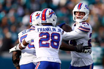
Key Bills Defender Shares Encouraging Injury Update
48 minutes ago
Insider Claims Celtics Will Only Trade Jaylen Brown to One Team
54 minutes ago
Mitchell Robinson’s Free Agency Takes Intriguing Turn as Knicks Monitor Situation
55 minutes ago
Celtics Face ‘No Going Back’ Stance on Jaylen Brown Trade: NBA Exec
55 minutes ago
Tigers’ Tarik Skubal Trade Sweepstakes May Have Hit Snag with Deadline Close
57 minutes ago
Red Sox Expected to Block Trade Offers for $87 Million Slugger
57 minutes ago
Kendrick Perkins Fuels Giannis-to-Celtics Trade Buzz With Eye-Opening Message
1 hour ago
Blue Jays Rejected By MLB-Hopeful After Monster Offer
1 hour ago
NBA Trade Rumors: Timberwolves Eye Move at No. 28 Pick in 2026 Draft
1 hour ago
More from Sports
Load More Sports ↓
Close sidebar
Home
NFL
Expand sub-menu
Arizona Cardinals
Atlanta Falcons
Baltimore Ravens
Buffalo Bills
Carolina Panthers
Cincinnati Bengals
Cleveland Browns
Chicago Bears
Dallas Cowboys
Denver Broncos
Detroit Lions
Green Bay Packers
Houston Texans
Indianapolis Colts
Jacksonville Jaguars
Kansas City Chiefs
Los Angeles Chargers
Los Angeles Rams
Las Vegas Raiders
Miami Dolphins
Minnesota Vikings
New England Patriots
New Orleans Saints
New York Giants
New York Jets
Philadelphia Eagles
Pittsburgh Steelers
San Francisco 49ers
Seattle Seahawks
Tampa Bay Buccaneers
Tennessee Titans
Washington Commanders
NBA
Expand sub-menu
Atlanta Hawks
Boston Celtics
Brooklyn Nets
Charlotte Hornets
Chicago Bulls
Cleveland Cavaliers
Dallas Mavericks
Denver Nuggets
Detroit Pistons
Golden State Warriors
Houston Rockets
Indiana Pacers
Los Angeles Clippers
Los Angeles Lakers
Memphis Grizzlies
Miami Heat
Milwaukee Bucks
Minnesota Timberwolves
New Orleans Pelicans
New York Knicks
Oklahoma City Thunder
Orlando Magic
Philadelphia 76ers
Phoenix Suns
Portland Trail Blazers
Sacramento Kings
San Antonio Spurs
Toronto Raptors
Utah Jazz
Washington Wizards
MLB
Expand sub-menu
Arizona Diamondbacks
Athletics
Atlanta Braves
Baltimore Orioles
Boston Red Sox
Chicago Cubs
Chicago White Sox
Cincinnati Reds
Cleveland Guardians
Colorado Rockies
Detroit Tigers
Houston Astros
Kansas City Royals
Los Angeles Angels
Los Angeles Dodgers
Miami Marlins
Milwaukee Brewers
Minnesota Twins
New York Mets
New York Yankees
Philadelphia Phillies
Pittsburgh Pirates
San Diego Padres
San Francisco Giants
Seattle Mariners
St. Louis Cardinals
Tampa Bay Rays
Texas Rangers
Toronto Blue Jays
Washington Nationals
NHL
Expand sub-menu
Anaheim Ducks
Boston Bruins
Buffalo Sabres
Calgary Flames
Carolina Hurricanes
Chicago Blackhawks
Colorado Avalanche
Columbus Blue Jackets
Dallas Stars
Detroit Red Wings
Edmonton Oilers
Florida Panthers
Los Angeles Kings
Minnesota Wild
Montreal Canadiens
Nashville Predators
New Jersey Devils
New York Islanders
New York Rangers
Ottawa Senators
Philadelphia Flyers
Pittsburgh Penguins
San Jose Sharks
Seattle Kraken
St. Louis Blues
Tampa Bay Lightning
Toronto Maple Leafs
Utah Mammoth
Vancouver Canucks
Vegas Golden Knights
Washington Capitals
Winnipeg Jets
More Sports
Expand sub-menu
College Basketball
College Football
Cricket
Formula 1
Golf
NASCAR
UFC
WNBA
Olympics
Pro Wrestling
Heavy on Soccer
Tennis