Go to main menu
Go to search form
Heavy
Sports
Alerts
Hi,
Subscriber
Search
Sports
News, stats, rumors, predictions and roster moves around the NFL, NBA, MLB, NHL and more.
More From Sports
Elly De La Cruz Would Solve Nearly All The Yankees’ Problems
8 minutes ago
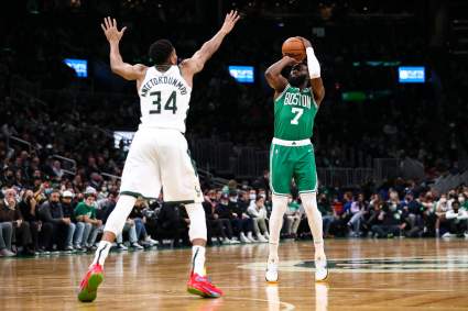
Celtics Set High Bar in Jaylen Brown Trade Amid Giannis Interest
1 hour ago
Josh Allen Has No Words for Wife Hailee Steinfeld’s Letter to Baby
2 hours ago
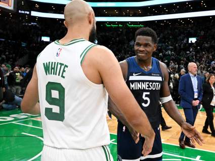
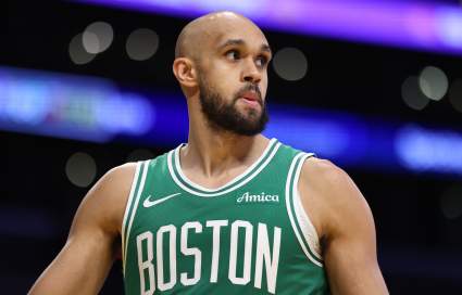
Timberwolves’ Derrick White Dream Gets New Trade Framework
2 hours ago
Islam Makhachev Assesses Ian Machado Garry Before UFC 330
2 hours ago
Yankees Get Good News on Tarik Skubal Trade Rumors After Pitcher’s Statement
2 hours ago
Potential New York Yankees All-Star Is Making Less Than $1 Million This Season
26 minutes ago
New York Yankees’ Cam Schlittler’s Humble Take On Record-Breaking Feat
3 hours ago
Celtics’ Previous Pursuit of 4-Time DPOY Adds Twist to Derrick White Rumors
3 hours ago
New York Knicks Guard Jordan Clarkson Gets Congratulated by Manny Pacquiao
3 hours ago
Cowboys Have Made Final Decision on George Pickens Trade: Insider
3 hours ago
Ex-Bills Edge Rusher Joey Bosa Faces ‘Puzzling’ Lack of Interest
3 hours ago
Diamondbacks Get Concerning Michael Soroka Update After Injury
3 hours ago
JJ McCarthy Winning QB1 Job Over Kyler Murray Optimal Outcome for Vikings
3 hours ago
Türkiye vs Paraguay Results Today: FIFA World Cup 2026 Live Score, Updates, Stats
5 minutes ago
Tom Telesco Shares Strong Thoughts on Kirk Cousins & Fernando Mendoza
4 hours ago
Rams Get Good News About $56 Million Super Bowl Champion
3 hours ago
Dodgers Insider Issues Injury Update on Blake Snell, Tyler Glasnow
4 hours ago
Bears’ Maxx Crosby Dream Refuses to Die After Latest Raiders Report
4 hours ago
Patriots Tabbed to Trade For $71 Million 2-Time Pro Bowler Amid Contract Drama
4 hours ago
Alabama 4-Star Commit’s Nick Saban/Kalen DeBoer Comparison will Turn Heads
4 hours ago
Raphinha Injury Update: Brazil Star Suffers Scare Against Haiti
4 hours ago
Türkiye World Cup Squad 2026: Club Team, Age For All 26 Players
5 hours ago
Canucks Trade Pitch Sends 28-Goal Sniper to Winnipeg Jets
5 hours ago
Paraguay World Cup Squad 2026: Club Team, Age For All 26 Players
5 hours ago
Former Bucs RB Making Big Impression With New Team
5 hours ago
Wyndham Clark Addresses Oakmont Incident as He Leads U.S. Open
5 hours ago
Forgotten Commanders Free Agent Gains Steam in RB Battle
5 hours ago
Packers Face Serious Special Teams Woes Yet Again After Troubling Minicamp: Report
5 hours ago
Los Angeles Dodgers Make Huge Kyle Tucker Change Before Orioles Series
26 minutes ago
More from Sports
Load More Sports ↓
Close sidebar
Home
NFL
Expand sub-menu
Arizona Cardinals
Atlanta Falcons
Baltimore Ravens
Buffalo Bills
Carolina Panthers
Cincinnati Bengals
Cleveland Browns
Chicago Bears
Dallas Cowboys
Denver Broncos
Detroit Lions
Green Bay Packers
Houston Texans
Indianapolis Colts
Jacksonville Jaguars
Kansas City Chiefs
Los Angeles Chargers
Los Angeles Rams
Las Vegas Raiders
Miami Dolphins
Minnesota Vikings
New England Patriots
New Orleans Saints
New York Giants
New York Jets
Philadelphia Eagles
Pittsburgh Steelers
San Francisco 49ers
Seattle Seahawks
Tampa Bay Buccaneers
Tennessee Titans
Washington Commanders
NBA
Expand sub-menu
Atlanta Hawks
Boston Celtics
Brooklyn Nets
Charlotte Hornets
Chicago Bulls
Cleveland Cavaliers
Dallas Mavericks
Denver Nuggets
Detroit Pistons
Golden State Warriors
Houston Rockets
Indiana Pacers
Los Angeles Clippers
Los Angeles Lakers
Memphis Grizzlies
Miami Heat
Milwaukee Bucks
Minnesota Timberwolves
New Orleans Pelicans
New York Knicks
Oklahoma City Thunder
Orlando Magic
Philadelphia 76ers
Phoenix Suns
Portland Trail Blazers
Sacramento Kings
San Antonio Spurs
Toronto Raptors
Utah Jazz
Washington Wizards
MLB
Expand sub-menu
Arizona Diamondbacks
Athletics
Atlanta Braves
Baltimore Orioles
Boston Red Sox
Chicago Cubs
Chicago White Sox
Cincinnati Reds
Cleveland Guardians
Colorado Rockies
Detroit Tigers
Houston Astros
Kansas City Royals
Los Angeles Angels
Los Angeles Dodgers
Miami Marlins
Milwaukee Brewers
Minnesota Twins
New York Mets
New York Yankees
Philadelphia Phillies
Pittsburgh Pirates
San Diego Padres
San Francisco Giants
Seattle Mariners
St. Louis Cardinals
Tampa Bay Rays
Texas Rangers
Toronto Blue Jays
Washington Nationals
NHL
Expand sub-menu
Anaheim Ducks
Boston Bruins
Buffalo Sabres
Calgary Flames
Carolina Hurricanes
Chicago Blackhawks
Colorado Avalanche
Columbus Blue Jackets
Dallas Stars
Detroit Red Wings
Edmonton Oilers
Florida Panthers
Los Angeles Kings
Minnesota Wild
Montreal Canadiens
Nashville Predators
New Jersey Devils
New York Islanders
New York Rangers
Ottawa Senators
Philadelphia Flyers
Pittsburgh Penguins
San Jose Sharks
Seattle Kraken
St. Louis Blues
Tampa Bay Lightning
Toronto Maple Leafs
Utah Mammoth
Vancouver Canucks
Vegas Golden Knights
Washington Capitals
Winnipeg Jets
More Sports
Expand sub-menu
College Basketball
College Football
Cricket
Formula 1
Golf
NASCAR
UFC
WNBA
Olympics
Pro Wrestling
Heavy on Soccer
Tennis