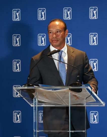
Hurricane Dorian Maps: Projected Path & Live Trackers for August 31

NOAA

Hurricane Dorian is nearing the U.S. coast and it’s currently a Category 4 hurricane. Forecasts are divided on where the storm will ultimately end up. Read on to see maps and trackers of Hurricane Dorian’s path as of August 31, along with the storm’s projected path for the coming days. Hurricanes are a bit unpredictable at this stage, so stay tuned as details can change over time.


Live Hurricane Dorian Interactive Map Tracker

You can track Hurricane Dorian’s location via Google’s hurricane tracker map here, here, or through the embedded map below. Depending on your browser, you may need to zoom into the map below using the + button to see the hurricane’s track. (Some browsers will show a far-away view despite the settings, but zooming in will allow you to see the map in full.)

An additional live map is provided by the NOAA’s nowCoast website below. The embedded version is fairly small, but you can see the full version here. Hit the plus button in the map below to zoom in to see the details about the hurricane’s track.

And here’s another map from the NOAA. (Disregard the headline that says 2017, as the map is updated for Dorian in 2019.) You can view the full map here or a smaller embedded version below. For the version below, click “x” to close any pop-up boxes and then you can move the map to see the hurricane details or zoom in. The full version of the map is here.

You can also track Dorian live with this video.


Hurricane Dorian’s Projected Path as of August 31

NOAA

Above is a map above from the National Hurricane Center showing a forecast cone and coastal watches and warnings released on August 31. This map does not indicate the hurricane’s size, but it does show the hurricane’s current projected path.

This next map may give you a better idea of when to first expect to feel the effects of the hurricane. This map shows the estimated arrival time of tropical storm force winds.

NOAA

Florida should start feeling tropical-storm force winds on Sunday, but it’s unclear where the storm is going to actually make landfall.

Next is a different look at the hurricane’s projected path. Keep in mind that this map has an interactive component that you can view here.


Wind Projection Maps of Hurricane Dorian on August 31

Next up are wind-speed probability maps. The first shows the probability of tropical storm force winds, as predicted on August 31.

NOAA


Rainfall & Flooding Potential Maps

This next map from NOAA shows the rainfall potential.

NOAA

According to the National Hurricane Center on August 31 at 8 p.m., Hurricane Dorian is currently at 26.2 N, 74.7 W about 155 miles east of Great Abaco Island and 335 miles east of West Palm Beach, Florida. Maximum winds are currently 150 mph and it’s moving west (275 degrees) at 8 mph. Minimum central pressure is 941 mb (27.79 inches.)

READ NEXT: WATCH: Man with TV on Head Leaves CRT TVs on Porches in Virginia