Los Angeles Dodgers Announce Last-Minute Tommy Edman Change Before Padres Series Finale 8 minutes ago
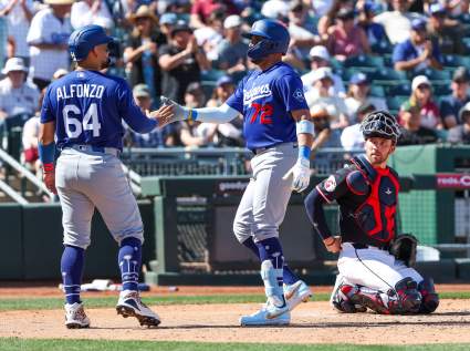
Los Angeles Dodgers Catcher Eliezer Alfonzo Jr. Dealt Heartbreaking News Before MLB Debut 44 seconds ago