Go to main menu
Go to search form
Heavy
Sports
Alerts
Hi,
Subscriber
Search
Sports
News, stats, rumors, predictions and roster moves around the NFL, NBA, MLB, NHL and more.
More From Sports
Colombia World Cup Squad 2026: Club Team, Age For All 26 Players
2 minutes ago
Pelicans Have High Asking Price For Warriors Trey Murphy Trade
5 minutes ago
Lions’ Dan Campbell’s Message Isn’t Good News For The NFL
8 minutes ago
Ex-Eagles Star Linked To Cowboys As Best Fit Before 2026 NFL Season
13 minutes ago
Chiefs Ink Former 49ers, Saints TE as Travis Kelce Backup After Minicamp
18 minutes ago
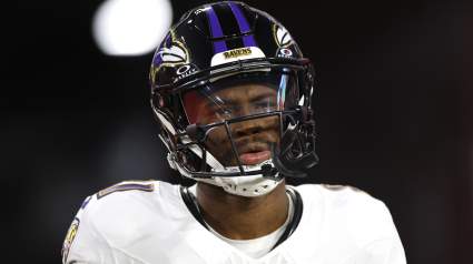
Ravens Make ‘Show of Faith’ With 3rd Year Wide Receiver
25 minutes ago
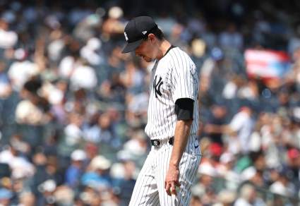
New York Yankees Announce Max Fried Update During White Sox Series
12 seconds ago
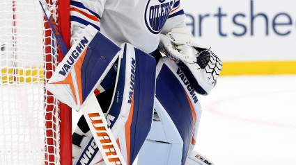
Oilers Tied To Potential Goalie Shakeup In Another Canadian Mark
26 minutes ago
Uzbekistan World Cup Squad 2026: All 26 Players and Their Club Teams
32 minutes ago
Los Angeles Lakers Trade Package For Nicolas Claxton Revealed
42 minutes ago
Yankees Get Intriguing Trade Suggestion for Giants’ Rafael Devers
52 minutes ago
Miami Heat Get Bad News On $149 Million Plan B Trade Target
59 minutes ago
Penguins Announce One-Year Goaltender Contract Extension
1 hour ago
Denver Nuggets Linked To Trading Starter For Klay Thompson
1 hour ago
Ex-Ravens Pro Bowl Edge-Rusher Option for Packers Amid Lukas Van Ness News
1 hour ago
Justin Verlander Opens Up Before First Home Tigers Start In Almost 10 Years
1 hour ago
Astros Add Under-the-Radar Independent League Infielder After 1.116 OPS Surge
1 hour ago
Bills’ Fan-Favorite Veteran Gets Concerning News Ahead of Training Camp
1 hour ago
Ex-76ers Vet Tobias Harris Predicted To Land Surprising Contract
2 hours ago
Boston Celtics Named Candidate to Make $45 Million Trade
2 hours ago
Detroit Lions Have Waived Wide Receiver
2 hours ago
MLB TRADE: Blue Jays Deal 7-Year Veteran to AL Club
2 hours ago
Eagles Safety Under Pressure After Devastating Rookie-Year Injury
2 hours ago
Patriots $68 Million Free Agent WR Called ‘Loser’ of Spring Practice
2 hours ago
Ghana vs Panama Results Today: FIFA World Cup 2026 Live Score, Updates, Stats
56 minutes ago
Raiders Receive Compelling Take on Deebo Samuel Fit
2 hours ago
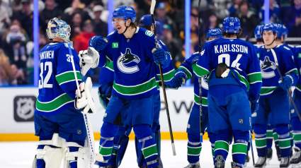
Top NHL Insider Sounds Off On Direction Of The Canucks
2 hours ago
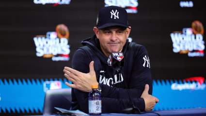
New York Yankees’ Aaron Boone Gets Honest About the Chicago White Sox Amid Series
2 hours ago
James Dolan Sends Sobering Message on Knicks’ Championship Future
2 hours ago
2026 Ohio Derby Post Positions: Full Field, Odds
2 hours ago
More from Sports
Load More Sports ↓
Close sidebar
Home
NFL
Expand sub-menu
Arizona Cardinals
Atlanta Falcons
Baltimore Ravens
Buffalo Bills
Carolina Panthers
Cincinnati Bengals
Cleveland Browns
Chicago Bears
Dallas Cowboys
Denver Broncos
Detroit Lions
Green Bay Packers
Houston Texans
Indianapolis Colts
Jacksonville Jaguars
Kansas City Chiefs
Los Angeles Chargers
Los Angeles Rams
Las Vegas Raiders
Miami Dolphins
Minnesota Vikings
New England Patriots
New Orleans Saints
New York Giants
New York Jets
Philadelphia Eagles
Pittsburgh Steelers
San Francisco 49ers
Seattle Seahawks
Tampa Bay Buccaneers
Tennessee Titans
Washington Commanders
NBA
Expand sub-menu
Atlanta Hawks
Boston Celtics
Brooklyn Nets
Charlotte Hornets
Chicago Bulls
Cleveland Cavaliers
Dallas Mavericks
Denver Nuggets
Detroit Pistons
Golden State Warriors
Houston Rockets
Indiana Pacers
Los Angeles Clippers
Los Angeles Lakers
Memphis Grizzlies
Miami Heat
Milwaukee Bucks
Minnesota Timberwolves
New Orleans Pelicans
New York Knicks
Oklahoma City Thunder
Orlando Magic
Philadelphia 76ers
Phoenix Suns
Portland Trail Blazers
Sacramento Kings
San Antonio Spurs
Toronto Raptors
Utah Jazz
Washington Wizards
MLB
Expand sub-menu
Arizona Diamondbacks
Athletics
Atlanta Braves
Baltimore Orioles
Boston Red Sox
Chicago Cubs
Chicago White Sox
Cincinnati Reds
Cleveland Guardians
Colorado Rockies
Detroit Tigers
Houston Astros
Kansas City Royals
Los Angeles Angels
Los Angeles Dodgers
Miami Marlins
Milwaukee Brewers
Minnesota Twins
New York Mets
New York Yankees
Philadelphia Phillies
Pittsburgh Pirates
San Diego Padres
San Francisco Giants
Seattle Mariners
St. Louis Cardinals
Tampa Bay Rays
Texas Rangers
Toronto Blue Jays
Washington Nationals
NHL
Expand sub-menu
Anaheim Ducks
Boston Bruins
Buffalo Sabres
Calgary Flames
Carolina Hurricanes
Chicago Blackhawks
Colorado Avalanche
Columbus Blue Jackets
Dallas Stars
Detroit Red Wings
Edmonton Oilers
Florida Panthers
Los Angeles Kings
Minnesota Wild
Montreal Canadiens
Nashville Predators
New Jersey Devils
New York Islanders
New York Rangers
Ottawa Senators
Philadelphia Flyers
Pittsburgh Penguins
San Jose Sharks
Seattle Kraken
St. Louis Blues
Tampa Bay Lightning
Toronto Maple Leafs
Utah Mammoth
Vancouver Canucks
Vegas Golden Knights
Washington Capitals
Winnipeg Jets
More Sports
Expand sub-menu
College Basketball
College Football
Cricket
Formula 1
Golf
NASCAR
UFC
WNBA
Olympics
Pro Wrestling
Heavy on Soccer
Tennis