Go to main menu
Go to search form
Heavy
Sports
Alerts
Hi,
Subscriber
Search
Sports
News, stats, rumors, predictions and roster moves around the NFL, NBA, MLB, NHL and more.
More From Sports
Browns Warned Over Deshaun Watson Decision
14 minutes ago
Steelers’ Drew Allar Addresses Rookie Role Behind Aaron Rodgers
29 minutes ago
Browns Rookie WR Sends Clear Message on QB Battle
56 minutes ago
Knicks Get New Mitchell Robinson Contingency Plan After Insider Report
2 hours ago
Rockets Eye Ime Udoka Reunion With Former NBA Defensive Player of the Year
2 hours ago
Cardinals Must Consider Promoting 24-Year-Old Reliever With Wicked Changeup
3 hours ago
Lakers Face New Competition to Keep Marcus Smart
3 hours ago
Golden State Warriors Sign 24-Year-Old Guard After NBA Draft
1 hour ago
New York Yankees Announce Giancarlo Stanton News During Red Sox Series
1 hour ago
Blue Jays Outfielder Suffers Ankle Injury
4 hours ago
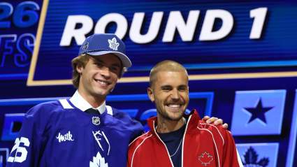
Gavin McKenna: ‘Dream Come True’ Being Drafted by Maple Leafs
4 hours ago
Photos From Taylor Swift’s Private Party Emerge Before Wedding
4 hours ago
Tragic New Details Emerge on Death of Former Raiders RB
4 hours ago
Josh Allen’s Wife Hailee Steinfeld Shares Biggest Life Lesson
4 hours ago
Stanley Cup Champions Reveal Injuries to Two Key Players
4 hours ago
Nakobe Dean Makes Feelings Clear on Raiders’ Fernando Mendoza
4 hours ago
Mets’ Announcer Gary Cohen Sends a Strong Message on Carlos Mendoza Firing
4 hours ago
Kings Won’t Give Longest-Tenured Player Contract Extension
4 hours ago
Warriors Believe They Are Now Front Runners For LeBron James
4 hours ago
2026 NHL Draft: 1st Round Winners and Losers
5 hours ago
Denver Nuggets Star Aaron Gordon Makes Cryptic Post Ahead of NBA Free Agency
5 hours ago
USMNT Make Important Decision on Head Coach Mauricio Pochettino
5 hours ago
Paddy Pimblett Reveals How ‘Fat’ He Got After Justin Gaethje Fight
5 hours ago
Ex-Knick Isaiah Hartenstein Signs Massive OKC Thunder Extension
5 hours ago
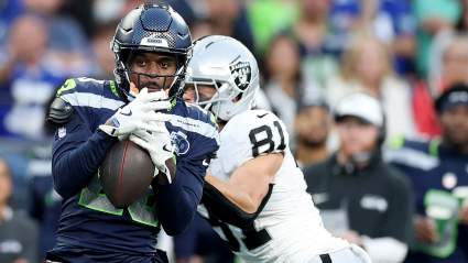
Secret Starter Gives Seahawks Edge Over Rams
6 hours ago
Why Was the Marlins-Cardinals Game Delayed Today? When Did it Start Again?
5 hours ago
Red Wings Acquire Massive Asset for Goaltender Sebastian Cossa
6 hours ago
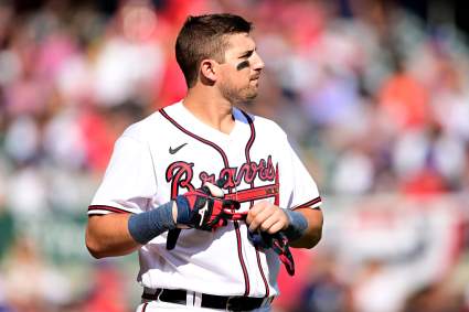
Atlanta Braves Announce Austin Riley Decision Before Giants Series
1 hour ago
Raiders LB Nakobe Dean Sends Strong Message on Maxx Crosby
6 hours ago
Brendan Sorsby Gets Surprising Legal Lifeline After NFL Decision
6 hours ago
More from Sports
Load More Sports ↓
Close sidebar
Home
NFL
Expand sub-menu
Arizona Cardinals
Atlanta Falcons
Baltimore Ravens
Buffalo Bills
Carolina Panthers
Cincinnati Bengals
Cleveland Browns
Chicago Bears
Dallas Cowboys
Denver Broncos
Detroit Lions
Green Bay Packers
Houston Texans
Indianapolis Colts
Jacksonville Jaguars
Kansas City Chiefs
Los Angeles Chargers
Los Angeles Rams
Las Vegas Raiders
Miami Dolphins
Minnesota Vikings
New England Patriots
New Orleans Saints
New York Giants
New York Jets
Philadelphia Eagles
Pittsburgh Steelers
San Francisco 49ers
Seattle Seahawks
Tampa Bay Buccaneers
Tennessee Titans
Washington Commanders
NBA
Expand sub-menu
Atlanta Hawks
Boston Celtics
Brooklyn Nets
Charlotte Hornets
Chicago Bulls
Cleveland Cavaliers
Dallas Mavericks
Denver Nuggets
Detroit Pistons
Golden State Warriors
Houston Rockets
Indiana Pacers
Los Angeles Clippers
Los Angeles Lakers
Memphis Grizzlies
Miami Heat
Milwaukee Bucks
Minnesota Timberwolves
New Orleans Pelicans
New York Knicks
Oklahoma City Thunder
Orlando Magic
Philadelphia 76ers
Phoenix Suns
Portland Trail Blazers
Sacramento Kings
San Antonio Spurs
Toronto Raptors
Utah Jazz
Washington Wizards
MLB
Expand sub-menu
Arizona Diamondbacks
Athletics
Atlanta Braves
Baltimore Orioles
Boston Red Sox
Chicago Cubs
Chicago White Sox
Cincinnati Reds
Cleveland Guardians
Colorado Rockies
Detroit Tigers
Houston Astros
Kansas City Royals
Los Angeles Angels
Los Angeles Dodgers
Miami Marlins
Milwaukee Brewers
Minnesota Twins
New York Mets
New York Yankees
Philadelphia Phillies
Pittsburgh Pirates
San Diego Padres
San Francisco Giants
Seattle Mariners
St. Louis Cardinals
Tampa Bay Rays
Texas Rangers
Toronto Blue Jays
Washington Nationals
NHL
Expand sub-menu
Anaheim Ducks
Boston Bruins
Buffalo Sabres
Calgary Flames
Carolina Hurricanes
Chicago Blackhawks
Colorado Avalanche
Columbus Blue Jackets
Dallas Stars
Detroit Red Wings
Edmonton Oilers
Florida Panthers
Los Angeles Kings
Minnesota Wild
Montreal Canadiens
Nashville Predators
New Jersey Devils
New York Islanders
New York Rangers
Ottawa Senators
Philadelphia Flyers
Pittsburgh Penguins
San Jose Sharks
Seattle Kraken
St. Louis Blues
Tampa Bay Lightning
Toronto Maple Leafs
Utah Mammoth
Vancouver Canucks
Vegas Golden Knights
Washington Capitals
Winnipeg Jets
More Sports
Expand sub-menu
College Basketball
College Football
Cricket
Formula 1
Golf
NASCAR
UFC
WNBA
Olympics
Pro Wrestling
Heavy on Soccer
Tennis