Go to main menu
Go to search form
Heavy
Sports
Alerts
Hi,
Subscriber
Search
Sports
News, stats, rumors, predictions and roster moves around the NFL, NBA, MLB, NHL and more.
More From Sports
Former Broncos Player Gets Honest About Bo Nix After ‘Needed’ Roster Change
2 hours ago
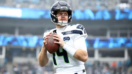
Seahawks’ Sam Darnold Gets Alarming Take Before Training Camp
2 hours ago
Kelly McCrimmon Explains Why Vegas Traded Pavel Dorofeyev
3 hours ago
New York Yankees Legend Alex Rodriguez Makes Heartfelt Post
2 hours ago
Former Cardinals’ First-Round Draft Pick Signs With MLB Team
3 hours ago
Myles Garrett Draws Attention Amid Telling Message About Rams Move
3 hours ago
Maxx Crosby’s Cryptic Message Fuels Bears Trade Speculation
4 hours ago
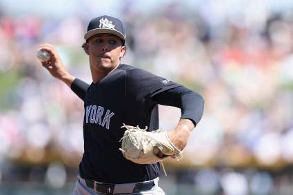
New York Yankees Pitcher Carlos Lagrange Gets Big News
2 hours ago
Taylor Swift Gets Booed During Surprise Appearance Before Wedding
4 hours ago
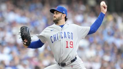
Cubs’ Trade Gamble Pays Off as David Peterson Excels in ‘Fun’ Debut
4 hours ago
Dodgers’ Freddie Freeman Sparks Reactions for ‘Slick’ Derek Jeter Moment
4 hours ago
Atlanta Braves Manager Announces Ha-Seong Kim Update During Giants Series
2 hours ago
Rafael Fiziev Wants BMF Title Fight Against Charles Oliveira
4 hours ago
Veteran Darnell Nurse Hinders Oilers With Latest Refusal
5 hours ago
Leafs AGM Judd Brackett Analyzes Gavin McKenna’s Potential
5 hours ago
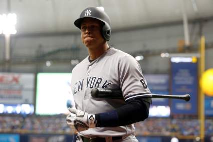
Social Media Reacts to Yankees’ Devastating Loss to Red Sox
5 hours ago
Matthew Stafford Gets Strong Words as Rams Face ‘Biggest Question’
5 hours ago
Two-Time NBA Blocks Leader Named Trade Target for Los Angeles Clippers
5 hours ago
Maple Leafs Linked To Two Norris Trophy Winners
5 hours ago
Chicago Bulls Lose 22-Year-Old Big Man To Golden State Warriors
6 hours ago
‘Top Suitor’ Emerges for LeBron James if Lakers ‘Offend’ Star: Report
6 hours ago
Michel Pereira Goes After Herb Dean Following UFC Baku Defeat
6 hours ago
Former Viking Dispenses Advice to WNBA Star Caitlin Clark After Throat Punch
6 hours ago
Bruins Fans Lash Out At Don Sweeney After Fabian Lysell Trade
6 hours ago
‘Nearly’ Pro Bowl Player Projected to Win Vital Role for Seahawks
6 hours ago
Doug Armstrong Explains Why Blues Traded For Brandon Carlo
6 hours ago
Lakers Proposed to Trade LeBron James for Jarrett Allen and Elite 6th Man Guard
6 hours ago
Chiefs Still Face 1 Major Concern on Patrick Mahomes Amid Injury Recovery
7 hours ago
Colombia vs Portugal Results Today: FIFA World Cup Live Score, Updates, Stats
6 hours ago
Patriots’ Mike Vrabel Faces New Family Drama After Son’s Arrest: Report
7 hours ago
More from Sports
Load More Sports ↓
Close sidebar
Home
NFL
Expand sub-menu
Arizona Cardinals
Atlanta Falcons
Baltimore Ravens
Buffalo Bills
Carolina Panthers
Cincinnati Bengals
Cleveland Browns
Chicago Bears
Dallas Cowboys
Denver Broncos
Detroit Lions
Green Bay Packers
Houston Texans
Indianapolis Colts
Jacksonville Jaguars
Kansas City Chiefs
Los Angeles Chargers
Los Angeles Rams
Las Vegas Raiders
Miami Dolphins
Minnesota Vikings
New England Patriots
New Orleans Saints
New York Giants
New York Jets
Philadelphia Eagles
Pittsburgh Steelers
San Francisco 49ers
Seattle Seahawks
Tampa Bay Buccaneers
Tennessee Titans
Washington Commanders
NBA
Expand sub-menu
Atlanta Hawks
Boston Celtics
Brooklyn Nets
Charlotte Hornets
Chicago Bulls
Cleveland Cavaliers
Dallas Mavericks
Denver Nuggets
Detroit Pistons
Golden State Warriors
Houston Rockets
Indiana Pacers
Los Angeles Clippers
Los Angeles Lakers
Memphis Grizzlies
Miami Heat
Milwaukee Bucks
Minnesota Timberwolves
New Orleans Pelicans
New York Knicks
Oklahoma City Thunder
Orlando Magic
Philadelphia 76ers
Phoenix Suns
Portland Trail Blazers
Sacramento Kings
San Antonio Spurs
Toronto Raptors
Utah Jazz
Washington Wizards
MLB
Expand sub-menu
Arizona Diamondbacks
Athletics
Atlanta Braves
Baltimore Orioles
Boston Red Sox
Chicago Cubs
Chicago White Sox
Cincinnati Reds
Cleveland Guardians
Colorado Rockies
Detroit Tigers
Houston Astros
Kansas City Royals
Los Angeles Angels
Los Angeles Dodgers
Miami Marlins
Milwaukee Brewers
Minnesota Twins
New York Mets
New York Yankees
Philadelphia Phillies
Pittsburgh Pirates
San Diego Padres
San Francisco Giants
Seattle Mariners
St. Louis Cardinals
Tampa Bay Rays
Texas Rangers
Toronto Blue Jays
Washington Nationals
NHL
Expand sub-menu
Anaheim Ducks
Boston Bruins
Buffalo Sabres
Calgary Flames
Carolina Hurricanes
Chicago Blackhawks
Colorado Avalanche
Columbus Blue Jackets
Dallas Stars
Detroit Red Wings
Edmonton Oilers
Florida Panthers
Los Angeles Kings
Minnesota Wild
Montreal Canadiens
Nashville Predators
New Jersey Devils
New York Islanders
New York Rangers
Ottawa Senators
Philadelphia Flyers
Pittsburgh Penguins
San Jose Sharks
Seattle Kraken
St. Louis Blues
Tampa Bay Lightning
Toronto Maple Leafs
Utah Mammoth
Vancouver Canucks
Vegas Golden Knights
Washington Capitals
Winnipeg Jets
More Sports
Expand sub-menu
College Basketball
College Football
Cricket
Formula 1
Golf
NASCAR
UFC
WNBA
Olympics
Pro Wrestling
Heavy on Soccer
Tennis