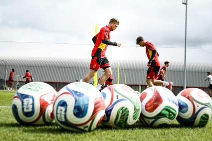
Belgium vs Tunisia Match Results Today: International Friendly Live Score, Updates, Stats 38 minutes ago
Philadelphia Phillies’ Don Mattingly Makes Humorous Comment on Kyle Schwarber’s Performance 1 hour ago
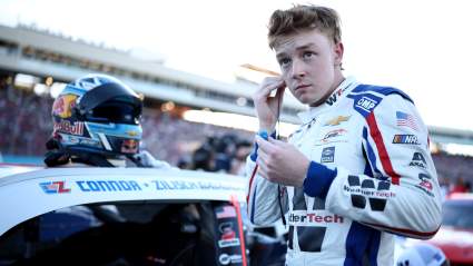
NASCAR Cup Series: Kevin Harvick Sounds Alarm Over Connor Zilisch’s Difficult Rookie Season 2 hours ago