Go to main menu
Go to search form
Heavy
Sports
Alerts
Hi,
Subscriber
Search
Sports
News, stats, rumors, predictions and roster moves around the NFL, NBA, MLB, NHL and more.
More From Sports
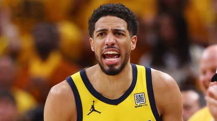
Tyrese Haliburton’s Dad Sends Strong Warning to Knicks After Championship Run
11 minutes ago
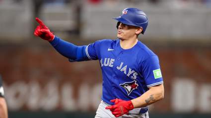
Jays Announce Brandon Valenzuela Decision Before Cubs Game
10 minutes ago
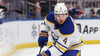
Maple Leafs Named Trade Landing Spot for Sabres Star Defender
12 minutes ago
Netherlands vs Sweden Results Today: FIFA World Cup Live Score, Updates, Stats
16 minutes ago
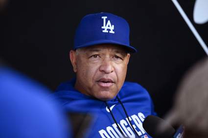
Injured Los Angeles Dodgers All-Star Owed $82 Million
27 minutes ago
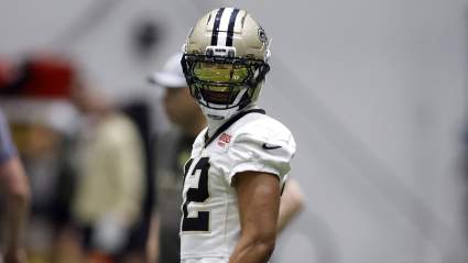
New Orleans Saints Urged to Extend Star Playmaker Before 2026 NFL Season
17 minutes ago
Why Is Netherlands Called the Oranje, or Orange? World Cup Nickname Explained
30 minutes ago
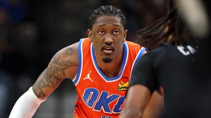
‘Aggressive’ OKC Thunder Wants Possible Jalen Williams Replacement In NBA Draft
30 minutes ago
Ex-UFC Star Shares Honest Take on Conor McGregor’s Return
28 minutes ago
Chicago Cubs’ Announce New Daniel Palencia Recovery Timeline Before Blue Jays Game
1 minute ago
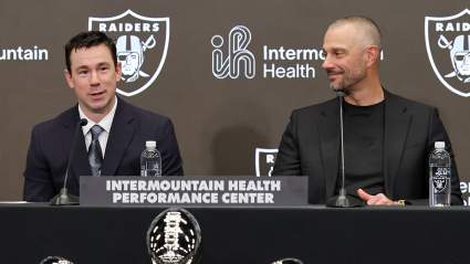
Insider Believes It ‘Makes Sense’ for Raiders to Swing QB Trade
34 minutes ago
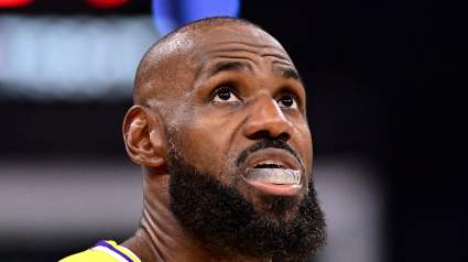
Insiders Skeptical of LeBron James’ Free Agency Decision Regarding Lakers
34 minutes ago
New York Yankees Trade Package for Tarik Skubal Revealed
45 minutes ago
76ers Get Unfortunate Reminder As Pistons Add Player To NBA Trade Block
46 minutes ago
Jeffery Simmons New Titans Contract Is Great News for Eagles’ Jalen Carter
50 minutes ago
Who Are the Best Players on Sweden’s 2026 World Cup Squad?
52 minutes ago
Packers Rookie Impressively Trending in Right Direction Before Training Camp
53 minutes ago
Los Angeles Lakers Legend Makes Case for LeBron James’ Return Next Season
56 minutes ago
Brooklyn Nets Named Potential Offseason Landing Spot for All-Star Guard
43 minutes ago
Braves-Padres Trade Pitch Sends $73 Million All-Star Player to San Diego
1 hour ago
Mike Macdonald Warned of ‘Margin’ Risk for Seahawks’ Defense
1 hour ago
Atlanta Braves Star Ha-Seong Kim Gets Brutally Honest Message
43 minutes ago
Rookie 265-Pound TE Speaks out on Potential Role in Patriots Offense
1 hour ago
New York Yankees Provide Major Update on Austin Wells’ Injury Status
46 minutes ago
New York Yankees Star Cam Schlittler off to a Historic Start to his MLB Career
1 hour ago
Miami Heat Willing To Give Up Former All-Star, Several Young Assets For Giannis: Report
1 hour ago
Chicago Bulls Get Word On Josh Giddey Trade Suitor
1 hour ago
Who Are the Best Players on the Netherlands’ 2026 World Cup Squad?
51 minutes ago
Recently Traded Atlanta Braves Player Excelling with New MLB Team
1 hour ago
Magic Steal Giannis Antetokounmpo From Suitors in Imaginative Trade Proposal
1 hour ago
More from Sports
Load More Sports ↓
Close sidebar
Home
NFL
Expand sub-menu
Arizona Cardinals
Atlanta Falcons
Baltimore Ravens
Buffalo Bills
Carolina Panthers
Cincinnati Bengals
Cleveland Browns
Chicago Bears
Dallas Cowboys
Denver Broncos
Detroit Lions
Green Bay Packers
Houston Texans
Indianapolis Colts
Jacksonville Jaguars
Kansas City Chiefs
Los Angeles Chargers
Los Angeles Rams
Las Vegas Raiders
Miami Dolphins
Minnesota Vikings
New England Patriots
New Orleans Saints
New York Giants
New York Jets
Philadelphia Eagles
Pittsburgh Steelers
San Francisco 49ers
Seattle Seahawks
Tampa Bay Buccaneers
Tennessee Titans
Washington Commanders
NBA
Expand sub-menu
Atlanta Hawks
Boston Celtics
Brooklyn Nets
Charlotte Hornets
Chicago Bulls
Cleveland Cavaliers
Dallas Mavericks
Denver Nuggets
Detroit Pistons
Golden State Warriors
Houston Rockets
Indiana Pacers
Los Angeles Clippers
Los Angeles Lakers
Memphis Grizzlies
Miami Heat
Milwaukee Bucks
Minnesota Timberwolves
New Orleans Pelicans
New York Knicks
Oklahoma City Thunder
Orlando Magic
Philadelphia 76ers
Phoenix Suns
Portland Trail Blazers
Sacramento Kings
San Antonio Spurs
Toronto Raptors
Utah Jazz
Washington Wizards
MLB
Expand sub-menu
Arizona Diamondbacks
Athletics
Atlanta Braves
Baltimore Orioles
Boston Red Sox
Chicago Cubs
Chicago White Sox
Cincinnati Reds
Cleveland Guardians
Colorado Rockies
Detroit Tigers
Houston Astros
Kansas City Royals
Los Angeles Angels
Los Angeles Dodgers
Miami Marlins
Milwaukee Brewers
Minnesota Twins
New York Mets
New York Yankees
Philadelphia Phillies
Pittsburgh Pirates
San Diego Padres
San Francisco Giants
Seattle Mariners
St. Louis Cardinals
Tampa Bay Rays
Texas Rangers
Toronto Blue Jays
Washington Nationals
NHL
Expand sub-menu
Anaheim Ducks
Boston Bruins
Buffalo Sabres
Calgary Flames
Carolina Hurricanes
Chicago Blackhawks
Colorado Avalanche
Columbus Blue Jackets
Dallas Stars
Detroit Red Wings
Edmonton Oilers
Florida Panthers
Los Angeles Kings
Minnesota Wild
Montreal Canadiens
Nashville Predators
New Jersey Devils
New York Islanders
New York Rangers
Ottawa Senators
Philadelphia Flyers
Pittsburgh Penguins
San Jose Sharks
Seattle Kraken
St. Louis Blues
Tampa Bay Lightning
Toronto Maple Leafs
Utah Mammoth
Vancouver Canucks
Vegas Golden Knights
Washington Capitals
Winnipeg Jets
More Sports
Expand sub-menu
College Basketball
College Football
Cricket
Formula 1
Golf
NASCAR
UFC
WNBA
Olympics
Pro Wrestling
Heavy on Soccer
Tennis