Go to main menu
Go to search form
Heavy
Sports
Alerts
Hi,
Subscriber
Search
Sports
News, stats, rumors, predictions and roster moves around the NFL, NBA, MLB, NHL and more.
More From Sports
Dallas Stars Willing to Give up Rising Star in Zach Werenski Trade Talks
46 seconds ago
Heat Linked to 2 Veteran Guards to Bolster Giannis-Adebayo Duo
19 seconds ago
Why is the Travelers Championship Delayed Today? When Will it Start Again?
2 minutes ago
Crucial Packers’ Replacement for Micah Parsons Revealed
19 minutes ago
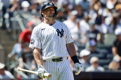
New York Yankees’ Future Captured in One Direct Sentence
28 minutes ago
Heat Eye Veteran Sharpshooter Amid Norman Powell Uncertainty
31 minutes ago
Rays Announce Historic Junior Caminero News After Diamondbacks Series
34 minutes ago
Raiders’ Kirk Cousins Echoes 49ers’ George Kittle’s Message Calling Out NFL
36 minutes ago
Minnesota Wild Veteran Makes Major Free Agency Decision
36 minutes ago
Patriots Made Wide Receiver Change for Drake Maye
41 minutes ago
Warriors Eye 39% 3-Point Shooting Big Man Amid Kristaps Porzingis Update
48 minutes ago
NHL Rumors: Maple Leafs Have 3 UFA Targets to Consider
55 minutes ago
Looking Back at the Mason Miller Trade – And Wincing
55 minutes ago
Travelers Championship Purse 2026: How Much Does the Winner Make
1 hour ago
Los Angeles Lakers Lose Coveted Big Man Target After NBA Trade
1 hour ago
Who Is Stephen Eustáquio? MLS Star Lifts Canada to Historic World Cup First
1 hour ago
Boston Red Sox Announce Jarren Duran Decision Before Yankees Game
1 hour ago
Browns Coach ‘Struck’ After Seeing Deshaun Watson Up Close
2 hours ago
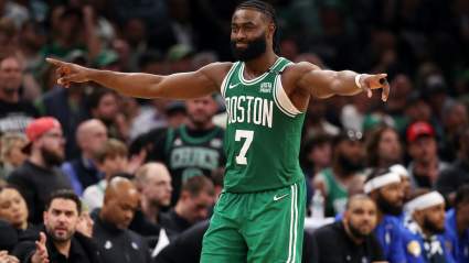
Jaylen Brown Trade Pitch Lands Celtics $160 Million Veteran Plus Huge Draft Haul
2 hours ago
Oilers Predicted to Sign Two-Time All-Star Goalie to $7M Deal
2 hours ago
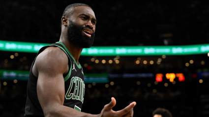
Proposed NBA Trade Has Celtics Land $150 Million Rising Star for Jaylen Brown
1 hour ago
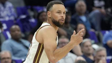
Warriors Linked to $100 Million Score-First Guard as Steph Curry Partner
2 hours ago
New York Yankees Announce Paul Goldschmidt Decision Before Red Sox Game
59 minutes ago
New York Yankees Announce Anthony Volpe Decision Before Red Sox Finale
57 minutes ago
Jaguars’ $51 Million Declining Star Considered Cut Candidate
2 hours ago
Red Sox Make Roman Anthony Decision Before Yankees Series Finale
2 hours ago
Ravens’ Kyle Hamiliton ‘Disrespected’ in NFL Top 100 Reveal
2 hours ago
New York Yankees Announce Surprising Jazz Chisholm Jr. Decision Before Red Sox Finale
1 hour ago
Vikings Slapped With Serious Warning About Justin Jefferson
2 hours ago
Ex-Bills WR Stefon Diggs Predicted to Join Aaron Rodgers for Super Bowl Run
2 hours ago
More from Sports
Load More Sports ↓
Close sidebar
Home
NFL
Expand sub-menu
Arizona Cardinals
Atlanta Falcons
Baltimore Ravens
Buffalo Bills
Carolina Panthers
Cincinnati Bengals
Cleveland Browns
Chicago Bears
Dallas Cowboys
Denver Broncos
Detroit Lions
Green Bay Packers
Houston Texans
Indianapolis Colts
Jacksonville Jaguars
Kansas City Chiefs
Los Angeles Chargers
Los Angeles Rams
Las Vegas Raiders
Miami Dolphins
Minnesota Vikings
New England Patriots
New Orleans Saints
New York Giants
New York Jets
Philadelphia Eagles
Pittsburgh Steelers
San Francisco 49ers
Seattle Seahawks
Tampa Bay Buccaneers
Tennessee Titans
Washington Commanders
NBA
Expand sub-menu
Atlanta Hawks
Boston Celtics
Brooklyn Nets
Charlotte Hornets
Chicago Bulls
Cleveland Cavaliers
Dallas Mavericks
Denver Nuggets
Detroit Pistons
Golden State Warriors
Houston Rockets
Indiana Pacers
Los Angeles Clippers
Los Angeles Lakers
Memphis Grizzlies
Miami Heat
Milwaukee Bucks
Minnesota Timberwolves
New Orleans Pelicans
New York Knicks
Oklahoma City Thunder
Orlando Magic
Philadelphia 76ers
Phoenix Suns
Portland Trail Blazers
Sacramento Kings
San Antonio Spurs
Toronto Raptors
Utah Jazz
Washington Wizards
MLB
Expand sub-menu
Arizona Diamondbacks
Athletics
Atlanta Braves
Baltimore Orioles
Boston Red Sox
Chicago Cubs
Chicago White Sox
Cincinnati Reds
Cleveland Guardians
Colorado Rockies
Detroit Tigers
Houston Astros
Kansas City Royals
Los Angeles Angels
Los Angeles Dodgers
Miami Marlins
Milwaukee Brewers
Minnesota Twins
New York Mets
New York Yankees
Philadelphia Phillies
Pittsburgh Pirates
San Diego Padres
San Francisco Giants
Seattle Mariners
St. Louis Cardinals
Tampa Bay Rays
Texas Rangers
Toronto Blue Jays
Washington Nationals
NHL
Expand sub-menu
Anaheim Ducks
Boston Bruins
Buffalo Sabres
Calgary Flames
Carolina Hurricanes
Chicago Blackhawks
Colorado Avalanche
Columbus Blue Jackets
Dallas Stars
Detroit Red Wings
Edmonton Oilers
Florida Panthers
Los Angeles Kings
Minnesota Wild
Montreal Canadiens
Nashville Predators
New Jersey Devils
New York Islanders
New York Rangers
Ottawa Senators
Philadelphia Flyers
Pittsburgh Penguins
San Jose Sharks
Seattle Kraken
St. Louis Blues
Tampa Bay Lightning
Toronto Maple Leafs
Utah Mammoth
Vancouver Canucks
Vegas Golden Knights
Washington Capitals
Winnipeg Jets
More Sports
Expand sub-menu
College Basketball
College Football
Cricket
Formula 1
Golf
NASCAR
UFC
WNBA
Olympics
Pro Wrestling
Heavy on Soccer
Tennis